



More about the book
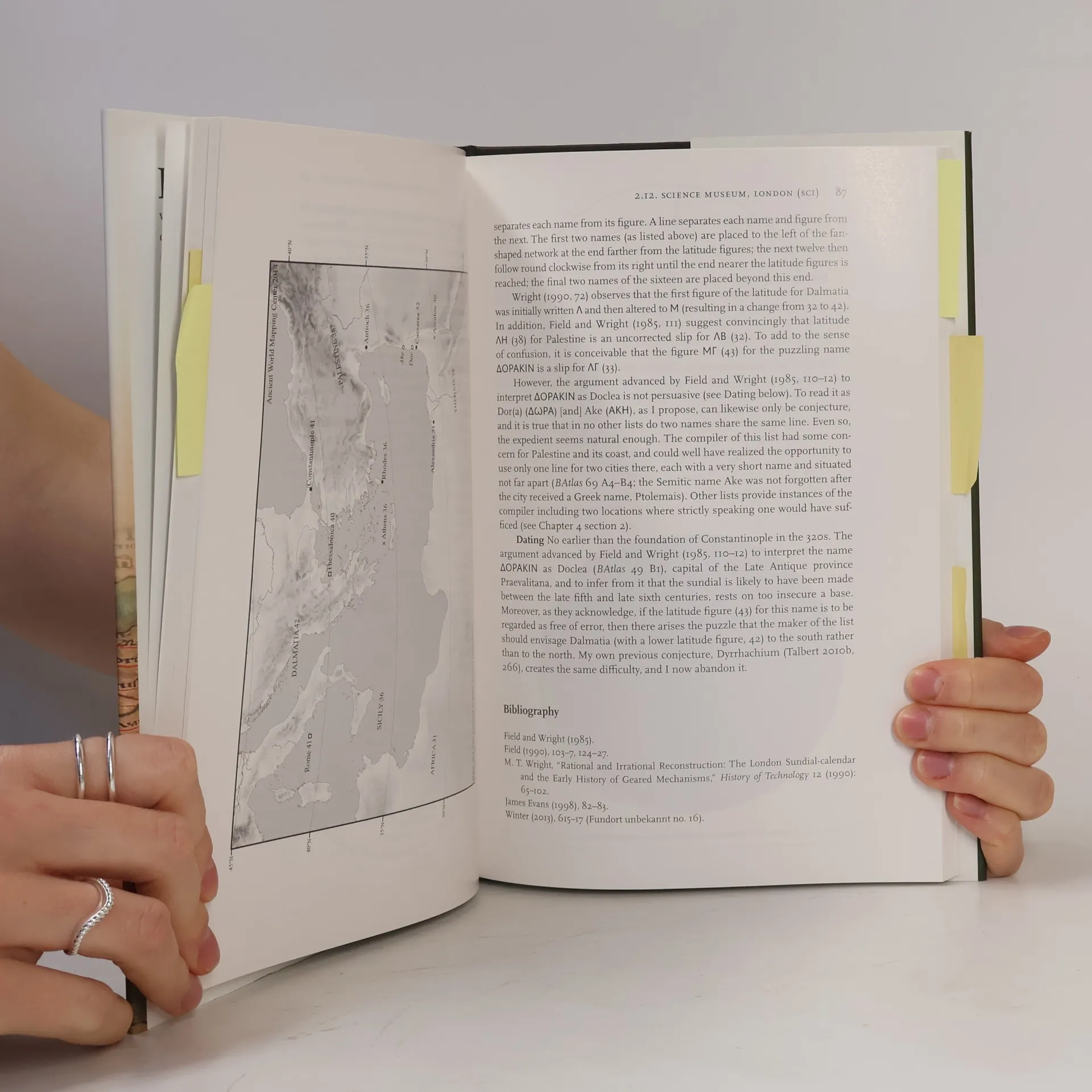
In an unscientific era when maps were rare, ancient Romans envisioned their vast empire through various means, including an ingenious type of portable sundial that has gone largely unnoticed. By the first century BCE, Romans recognized the need to track the sun's passage across the sky, which required knowledge of latitude and the time of year. These portable sundials, crafted in bronze, were adjustable for changes in latitude expected on long journeys, such as from Britain to Spain or Alexandria to Rome. They featured lists of twenty to thirty cities or regions with specific latitudes, offering insights into the mental world-map and self-identity of those who could visualize Rome's empire latitudinally. The sixteen known sundials share common features, but designers sought to enhance them. Comparisons with modern calculations reveal that many latitudes listed are incorrect, affecting performance. Richard Talbert suggests that owners may have valued these sundials more as prestige objects reflecting scientific awareness and imperial mastery of time and space rather than for practical use. In retrospect, they can be seen as precursors to later Islamic and European instruments and even today's luxury watches, which signify wealth and sophistication. Richly enhanced with photographs, line drawings, maps, a gazetteer, and a table of latitudes, this work finally brings these overlooked gadgets to light, revealing their untapped la
Book purchase
Roman Portable Sundials, Richard J. A. Talbert
- Language

- Released
- 2017
- Binding
- (Hardcover)
Payment methods
No one has rated yet.
- Title
- Roman Portable Sundials
- Subtitle
- The Empire in Your Hand
- Language
- English
- Authors
- Richard J. A. Talbert
- Publisher
- Oxford University Press
- Released
- 2017
- Format
- Hardcover
- Pages
- 264
- ISBN10
- 0190273488
- ISBN13
- 9780190273484
- Series
- Categories
- Tags
- Historical Themes, Science, Technology, Europe, Ancient History, History of Europe, Rome, Western Europe, Roman Empire, Ancient Rome, History of Science, Sundials
- Description
- In an unscientific era when maps were rare, ancient Romans envisioned their vast empire through various means, including an ingenious type of portable sundial that has gone largely unnoticed. By the first century BCE, Romans recognized the need to track the sun's passage across the sky, which required knowledge of latitude and the time of year. These portable sundials, crafted in bronze, were adjustable for changes in latitude expected on long journeys, such as from Britain to Spain or Alexandria to Rome. They featured lists of twenty to thirty cities or regions with specific latitudes, offering insights into the mental world-map and self-identity of those who could visualize Rome's empire latitudinally. The sixteen known sundials share common features, but designers sought to enhance them. Comparisons with modern calculations reveal that many latitudes listed are incorrect, affecting performance. Richard Talbert suggests that owners may have valued these sundials more as prestige objects reflecting scientific awareness and imperial mastery of time and space rather than for practical use. In retrospect, they can be seen as precursors to later Islamic and European instruments and even today's luxury watches, which signify wealth and sophistication. Richly enhanced with photographs, line drawings, maps, a gazetteer, and a table of latitudes, this work finally brings these overlooked gadgets to light, revealing their untapped la