

More about the book
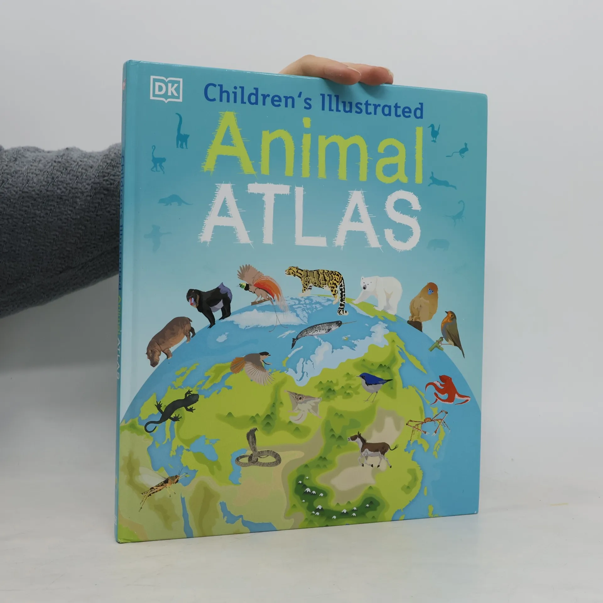
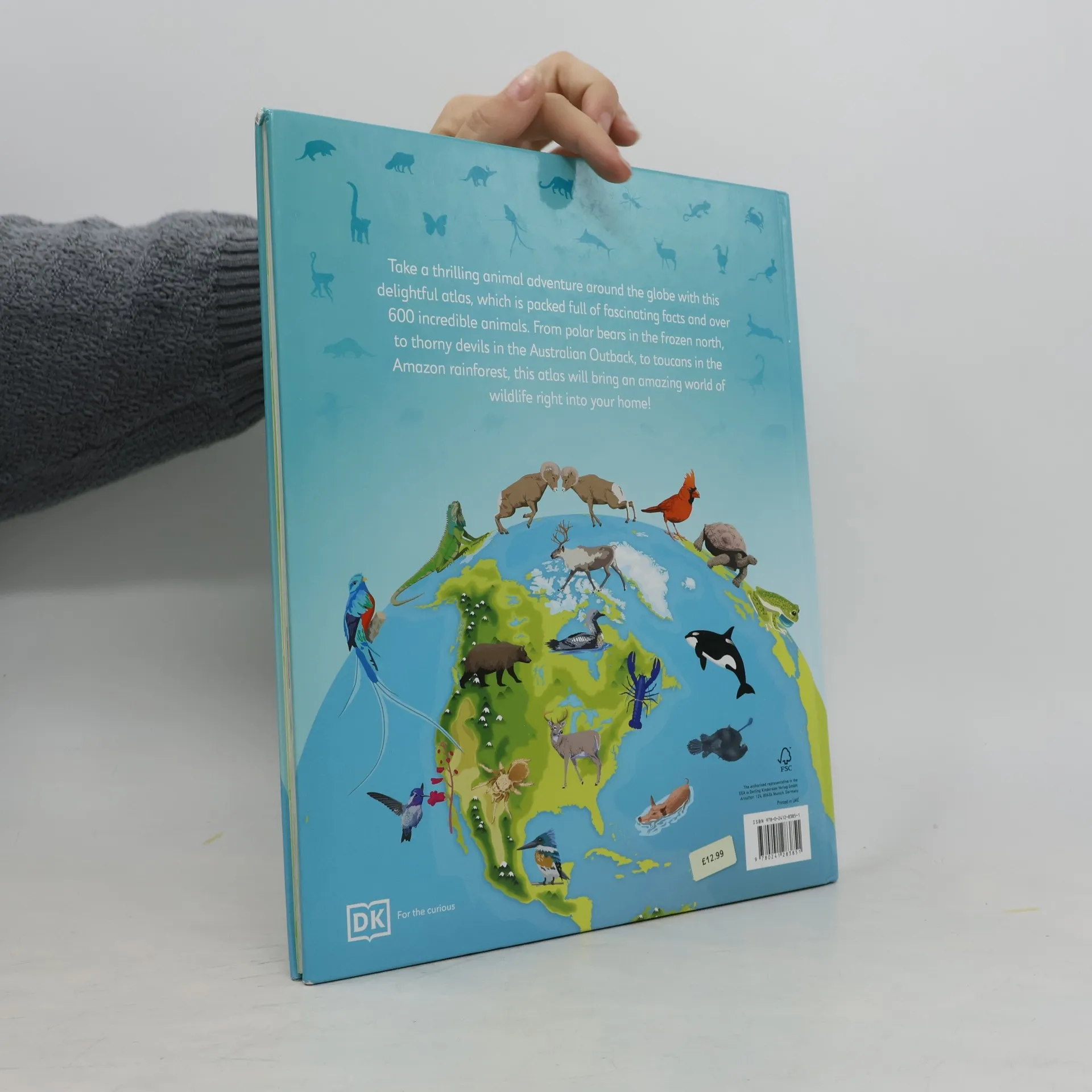
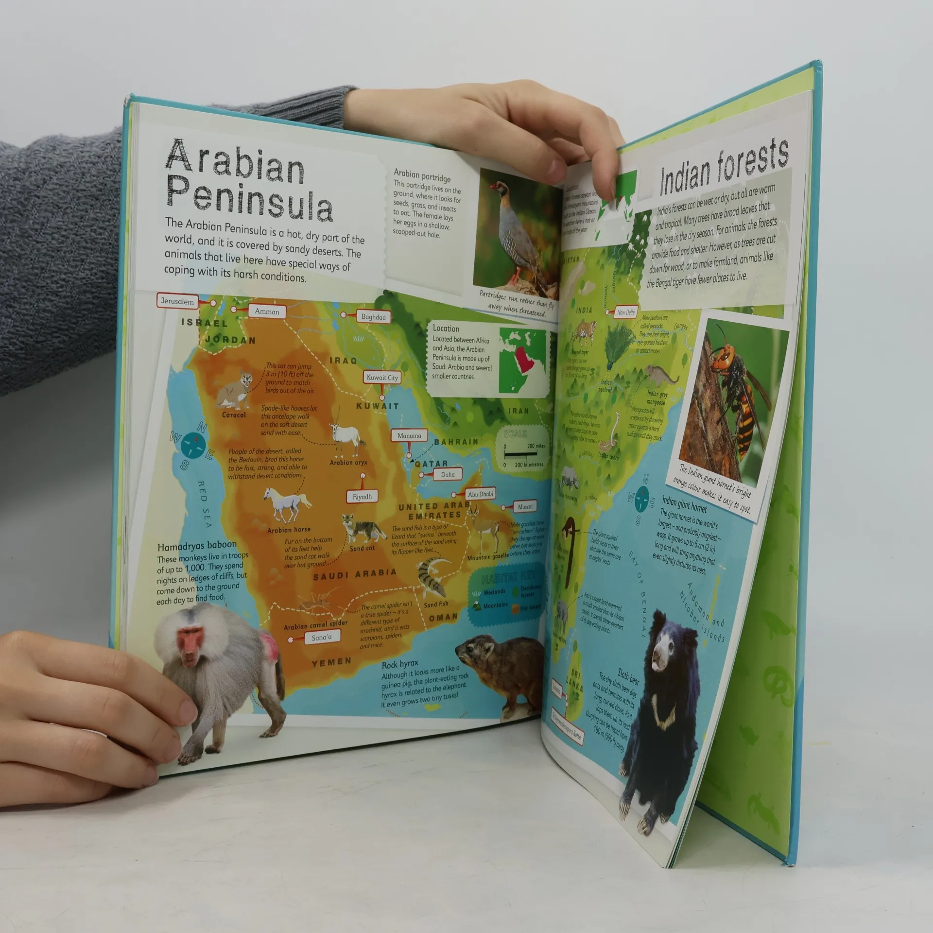
Bring the amazing world of wildlife right into your home. Packed with animal facts for kids and more than 40 colourful maps that detail the countries they where live. Each colourful map is bursting with information, combining illustrations of animals with photographs showing key habitats and locations for each country. The atlas also includes a colourful world map pull-out poster showing all the countries of the world and their key animals. Through each map children are shown how to read a map and use a key, compass and scale. Charming and informative, the Children's Illustrated Animal Atlas is a delightful addition to every child's library.
Book purchase
Children's Illustrated Atlases: Children's Illustrated Animal Atlas: World Map Poster Included, Dorling Kindersley Publishing Staff
- Language

- Released
- 2017
- Binding
- (Hardcover),
- Book condition
- Good
- Price
- €6.09
Payment methods
No one has rated yet.
- Title
- Children's Illustrated Atlases: Children's Illustrated Animal Atlas: World Map Poster Included
- Language
- English
- Publisher
- Dorling Kindersley UK
- Released
- 2017
- Format
- Hardcover
- Pages
- 96
- ISBN10
- 024128385X
- ISBN13
- 9780241283851
- Series
- Categories
- Tags
- Business, Nature, Cookbooks, Comic Books, References & Manuals, Animals, Sports, Science, Magic, Food, Handicrafts, Games, Linguistics, History of Art, Writing, Inspiration, Cats, Culture, Journey, Birds, Wine, Crafting and DIY, Atlases, Nature Observation, Migration, California, Wild Animals, Iceland, Coaching, Existentialism, Bees, beekeeping, Beer, Mammals, Conservation, Chickens, Honey, Penguins, Lions, Animal Facts, Bourbon
- Description
- Bring the amazing world of wildlife right into your home. Packed with animal facts for kids and more than 40 colourful maps that detail the countries they where live. Each colourful map is bursting with information, combining illustrations of animals with photographs showing key habitats and locations for each country. The atlas also includes a colourful world map pull-out poster showing all the countries of the world and their key animals. Through each map children are shown how to read a map and use a key, compass and scale. Charming and informative, the Children's Illustrated Animal Atlas is a delightful addition to every child's library.