

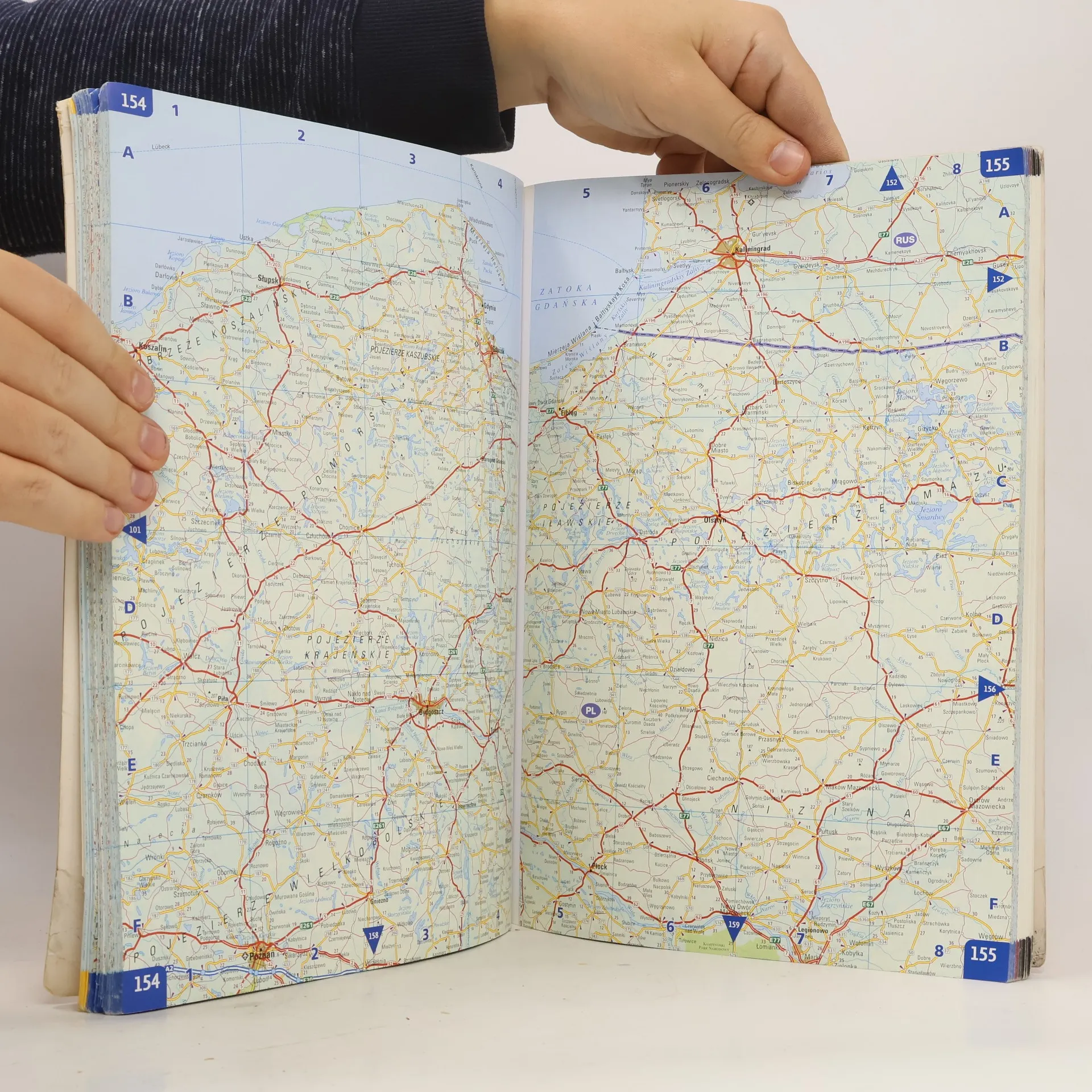
You'll get the exact copy in the photo
More about the book
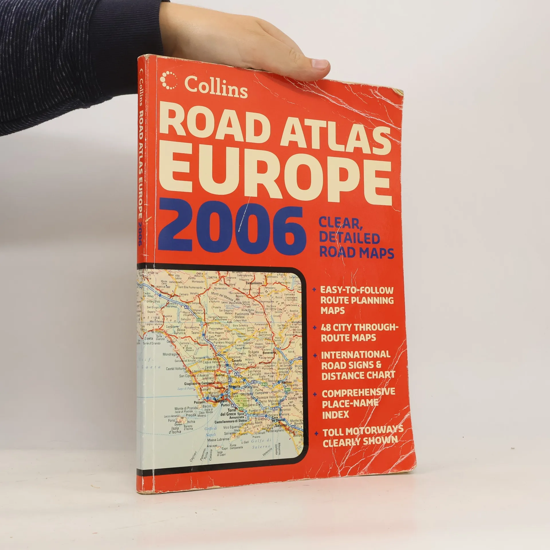
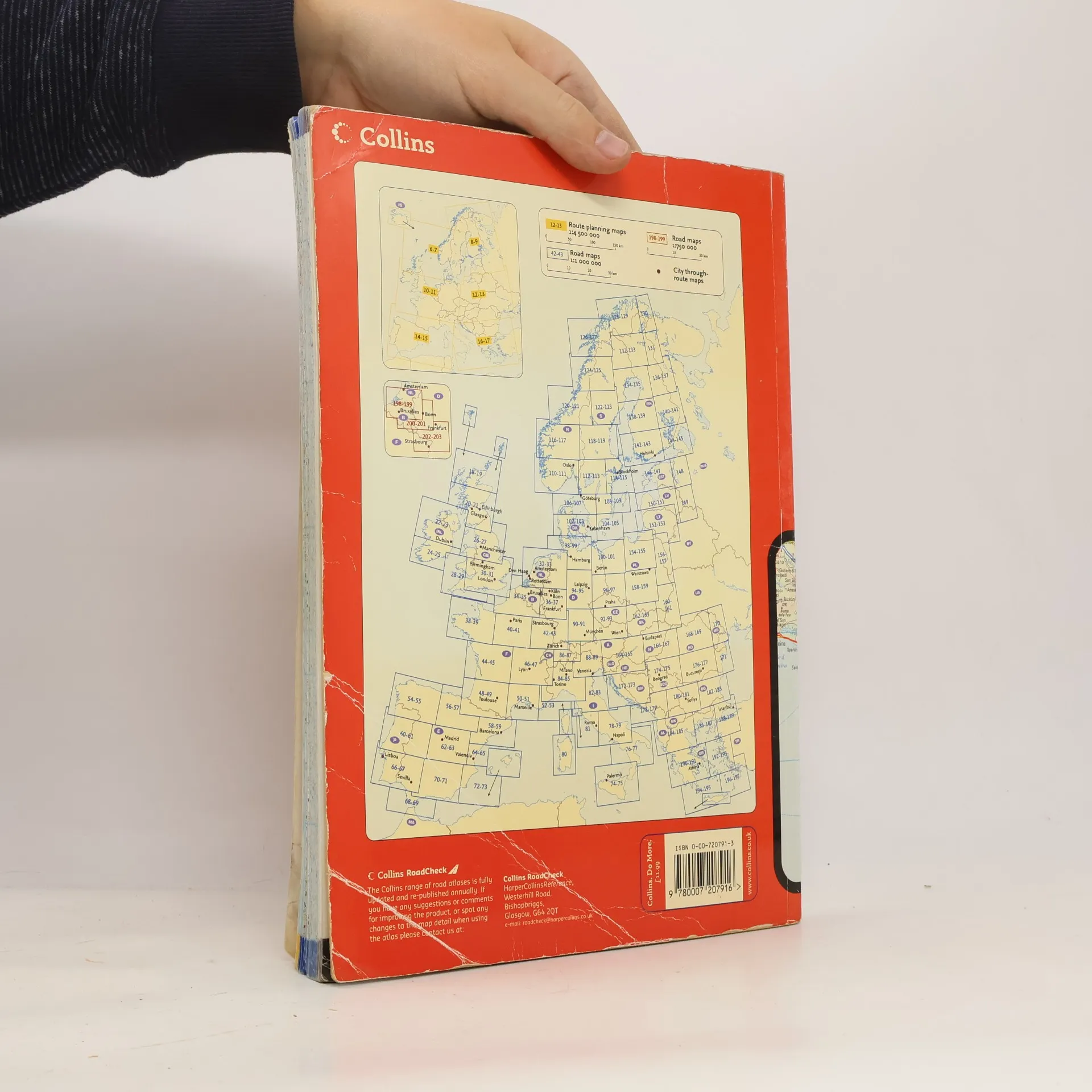
A4 formatScale 1:1 000 000 (1 cm to 10 kms / 1 inch to 16 miles)A fully revised edition of A4 paperback road atlas containing road mapping, route planning maps, large scale road maps of the Ruhr and Rhine, city through route maps and a comprehensive place names index.
Book purchase
Collins Road Atlas Europe 2006,
- Language
- Released
- 2006
- Binding
- (Paperback),
- Book condition
- Damaged
- Price
- €6.09
Payment methods
No one has rated yet.
- Title
- Collins Road Atlas Europe 2006
- Subtitle
- Clear, Detailed Road Maps - Easy-To-Follow Route Planning Maps - 48 City Through-Route Maps - International Road Signs & Distance Chart - Comprehensive Place-Name Index - Toll Motorways Clearly Shown
- Authors
- Publisher
- Collins
- Released
- 2006
- Format
- Paperback
- Pages
- 280
- ISBN10
- 0007207913
- ISBN13
- 9780007207916
- Series
- Description
- A4 formatScale 1:1 000 000 (1 cm to 10 kms / 1 inch to 16 miles)A fully revised edition of A4 paperback road atlas containing road mapping, route planning maps, large scale road maps of the Ruhr and Rhine, city through route maps and a comprehensive place names index.