

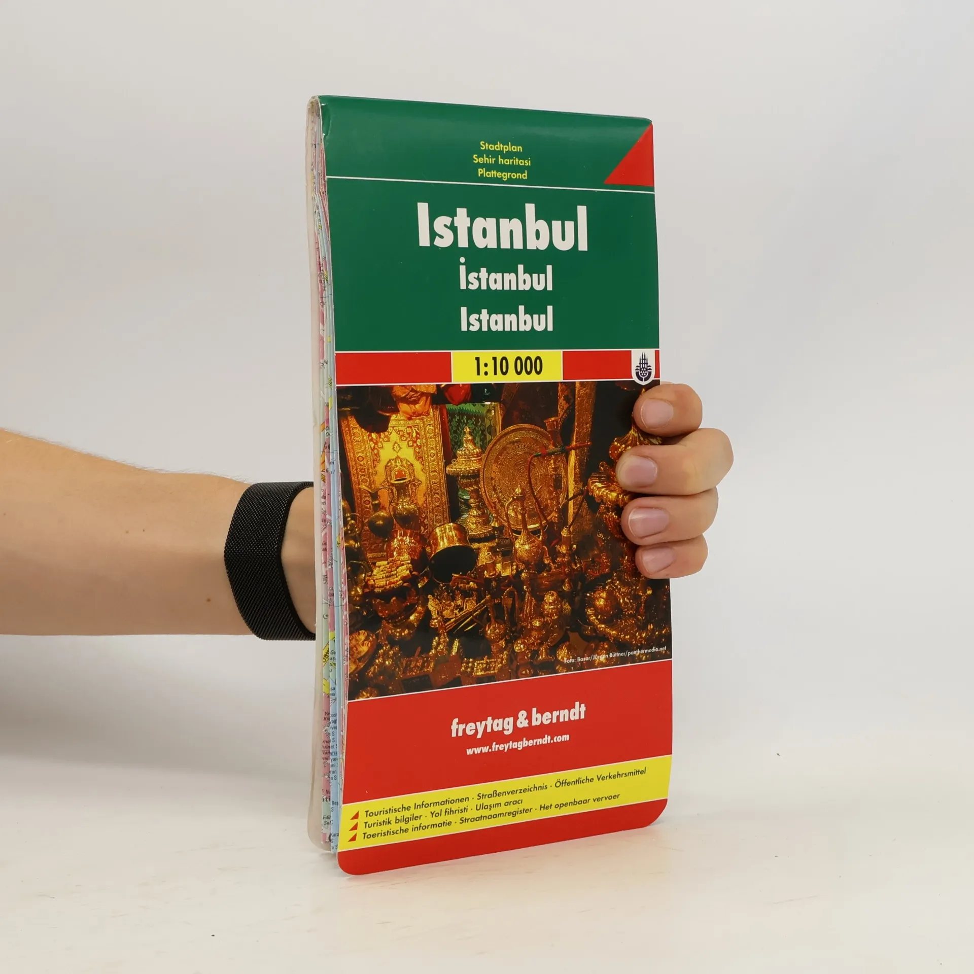
Explore Istanbul with this Freytag&Berndt street map. The best way to plan your trip, prepare your itinerary, and to travel independently in this city of Western Turkey.
Freytag-Berndt und Artaria Book order (chronological)
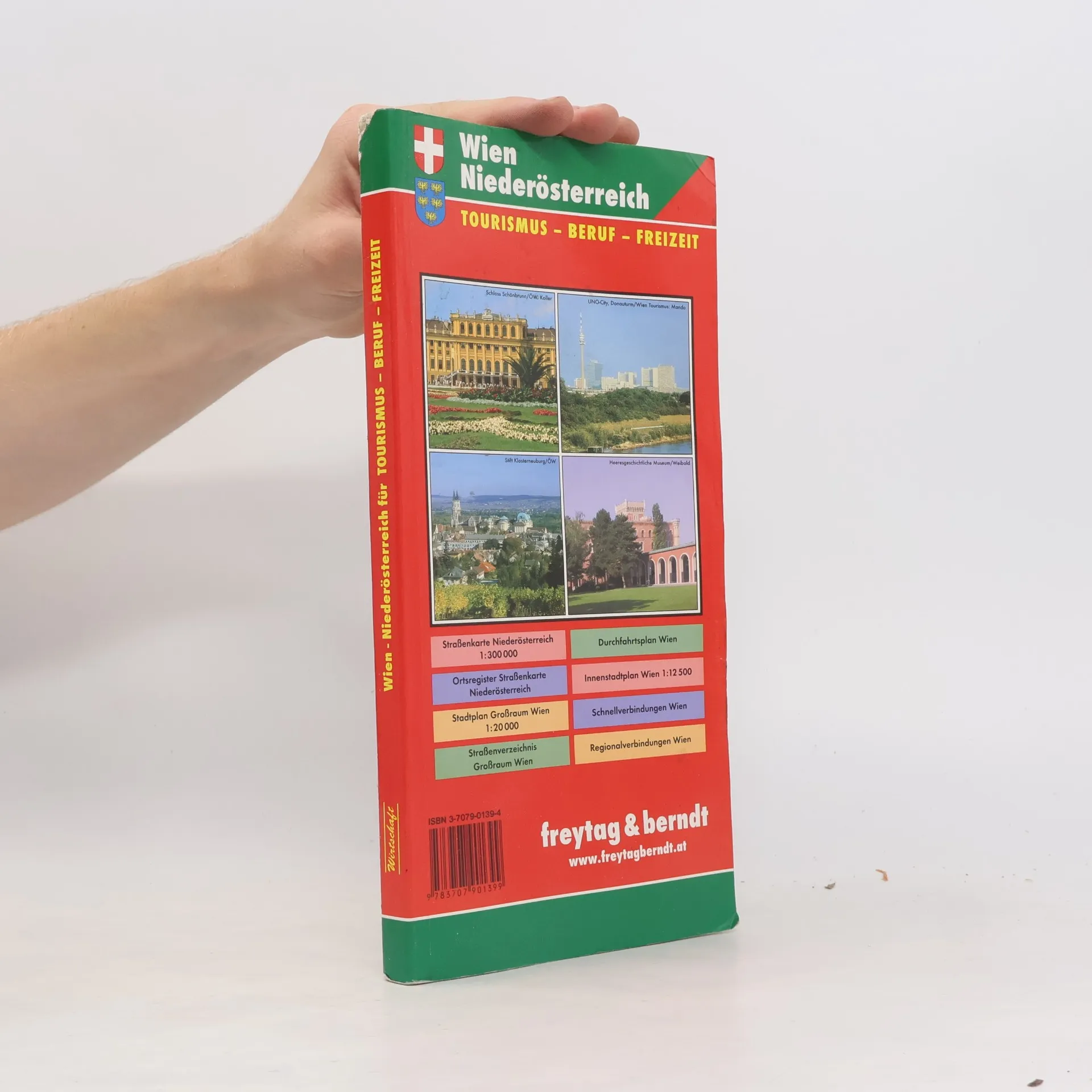
Wien - Niederösterreich Atlas
Atlas für Tourismus, Beruf & Freizeit; 1:20 000 • 1:300 000
- 296 pages
- 11 hours of reading
Transylvania
FB.R2
Folded, fully indexed, map of Transylvania (western Romania, eastern Hungary) showing major roads, cities, and political boundaries at a scale of 1:400,000. Also details the locations of churches, castles, and various points of interest. Additionally, this map contains an inset showing the city centers of Arad, Brasov, Cluj-Napoca, Oradea, Sibiu, and Timisoa. Legend is in Romanian, German, English, French, Italian, Dutch, Spanish, Czech, Slovak, Polish.
Sheet 5, Hesse
Autokarte ; touristische Informationen, Ortsregister mit Postleitzahlen, GPS-tauglich
This 13-map tourist and outdoor recreation series for Germany at the detailed scale of 1:200,000 is very easy to read and user friendly. Maps are two-sided, have shaded-relief and show roads, scenic routes, long distance trails, rail lines, distances in kilometers, routes not recommended for caravans, natural features, campgrounds/hotels/hostels. Includes booklet attached to front cover with legend and thorough placename index. Legend in German, English, French, Italian, Spanish, Dutch, Italian, and others.