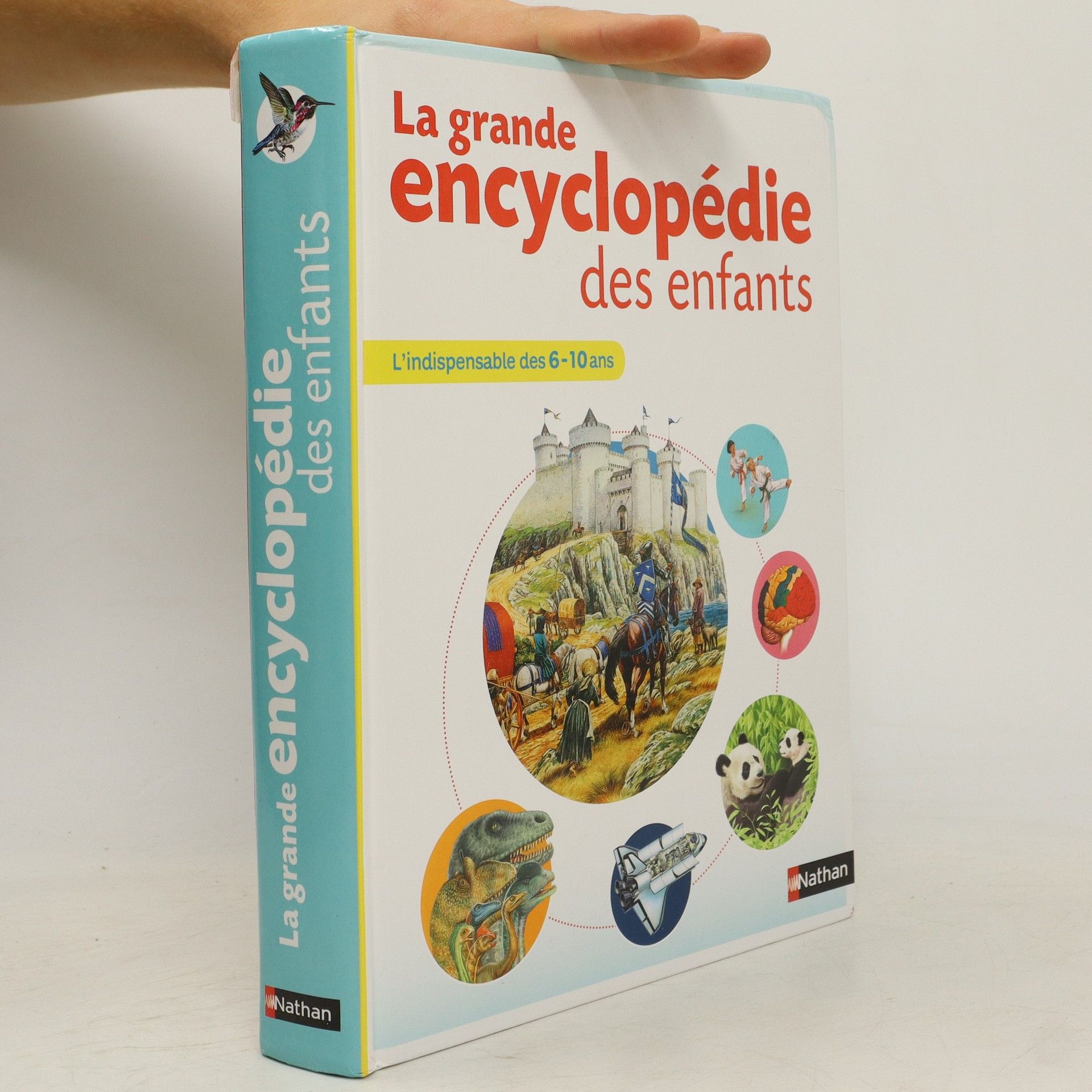
500 pages, 2500 illustrations plein d'informations dans un langage très simple, bien adaptées aux deuxième et troisième cycles du primaire 10 grands thèmes pour répondre à la curiosité des enfants : la Terre, l'Univers, la mer, tous les animaux, au temps des dinosaures, les plantes, mon corps, les machines, les continents et les peuples, les sciences 140 jeux et activités parce qu'on apprend beaucoup et très facilement en s'amusant et en réalisant de courtes expériences Un extrait de conte invite à la lecture sur chaque thème. Des petits encadrés de vocabulaire expliquent les mots difficiles.
Keith Lye Book order (chronological)
Keith Lye specializes in creating atlases and geographical works for both children and adults. His output frequently features detailed and engaging depictions of the world. Lye aims to make geography accessible to readers of all ages through his illustrated atlases. His books are designed to be both educational and visually appealing.
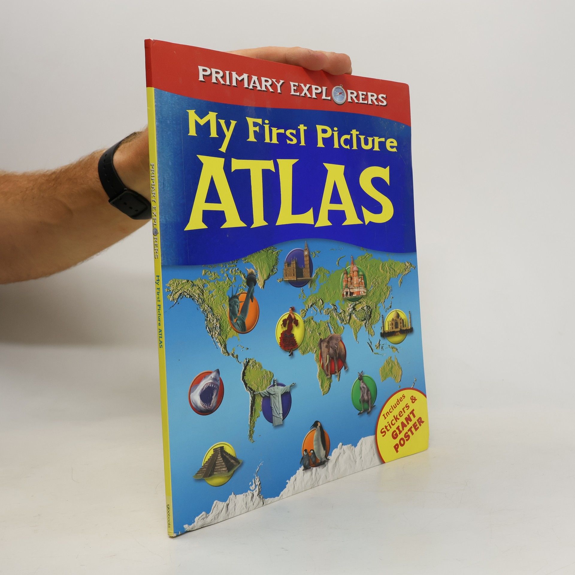
My First Picture Atlas
- 48 pages
- 2 hours of reading
Svet do vrecka
- 448 pages
- 16 hours of reading
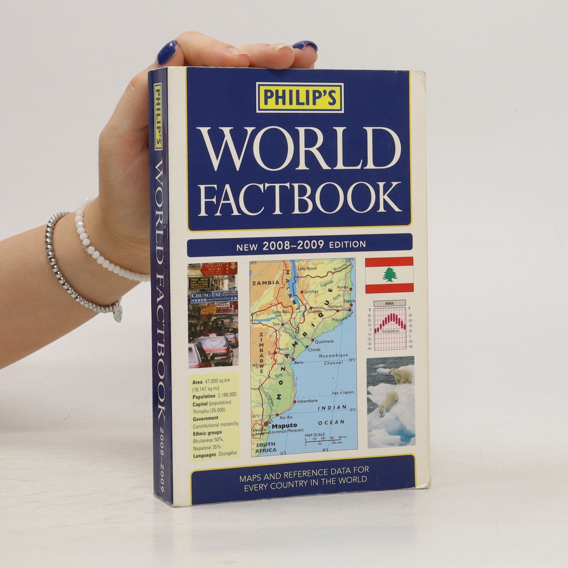
Základné informácie o každej krajine: rozloha, hlavné mesto, počet obyvateľov, štátne zriadenie, etnické zloženie, miestne jazyky, náboženstvo a mena. - Chrakterisktika prírodných podmienok jednotlivých štátov doplnená klimatickým grafom. - Stručné dejiny, súčasná politická a ekonomická situácia. - Orientačné mapy zobrazujúce polohu štátu na zemeguli. - Politické mapy s vyznačením susedných krajín, hlavných a väčších miest, významných komunikácií, riek a vodných plôch. - Národné vlajky a charakteristika ich pôvodu, významu farieb či symbolov.
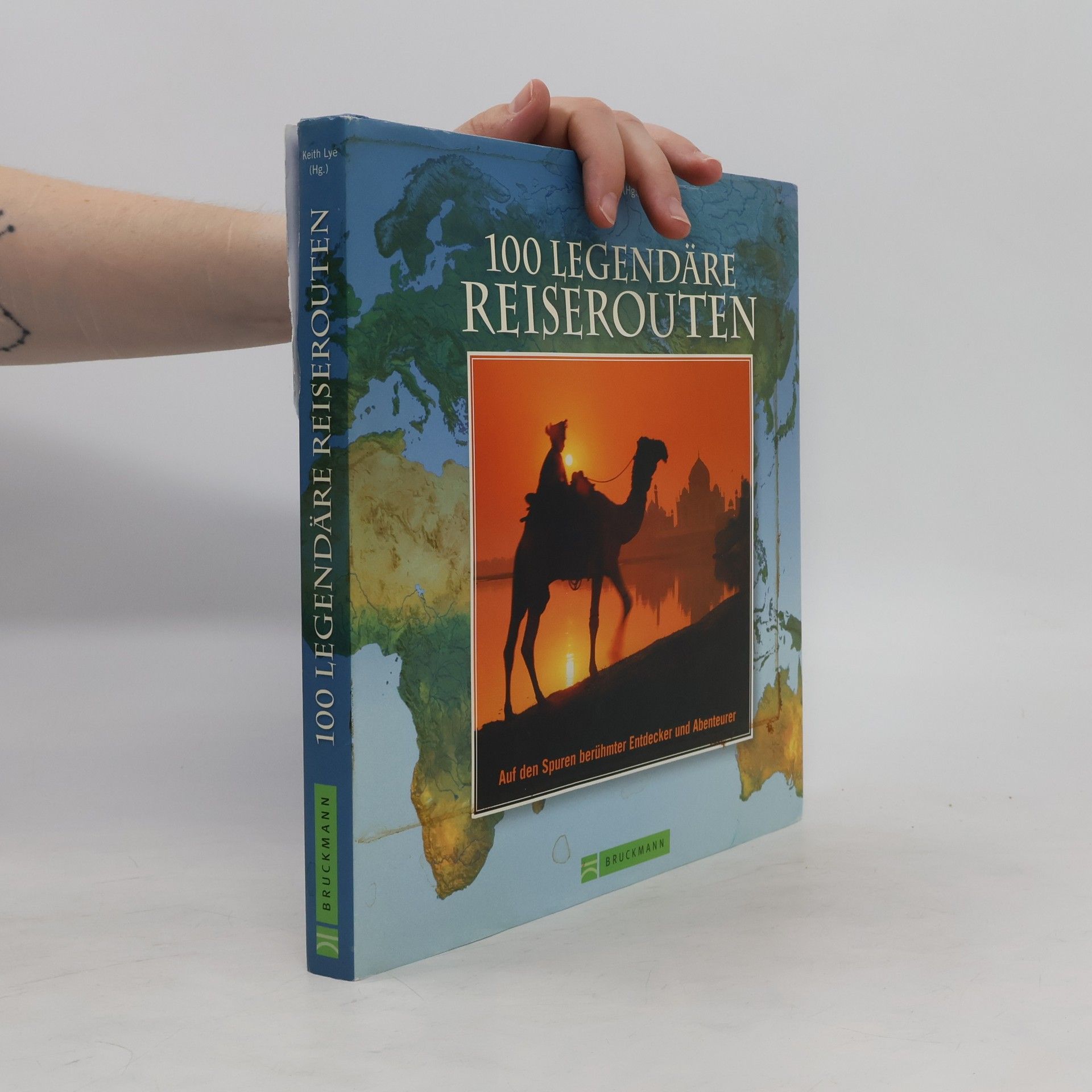
Zahlreiche Legenden ranken sich um die Seidenstraße, die Europa und China verband, oder um die Route 66 quer durch Amerika. Als zur Elite der Weltenbummler gehörend kann man sich im Blue Train durch Südafrka fühlen. Geschichte über die Jahrhunderte wird lebendig, wenn wir Marco Polo von Venedig in den Orient folgen oder auf den Spuren von Alexander dem Großen, Charles Darwin, Jules Verne oder Mark Twain wandeln. 100-mal garantierte Reise- und Abenteuerlust!
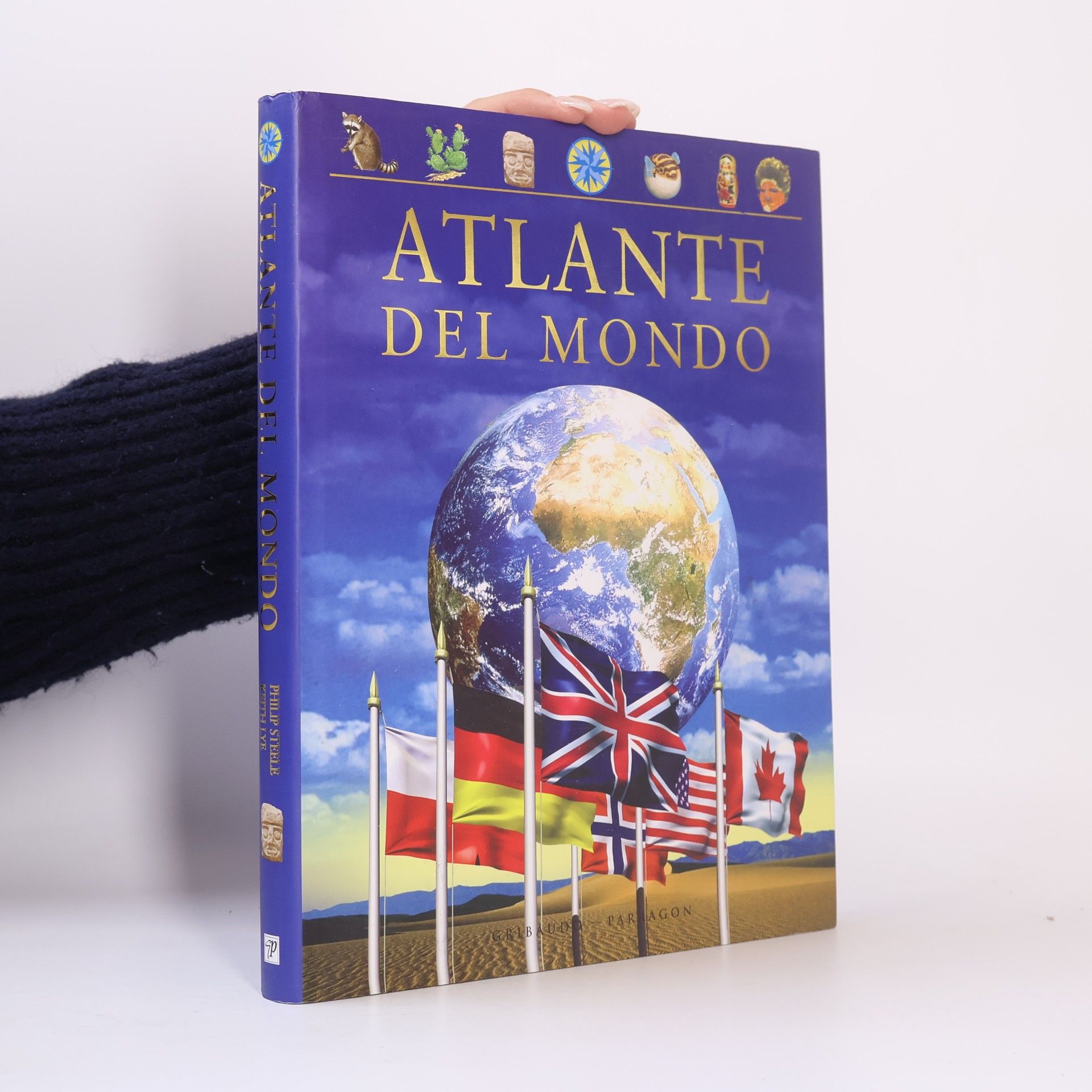
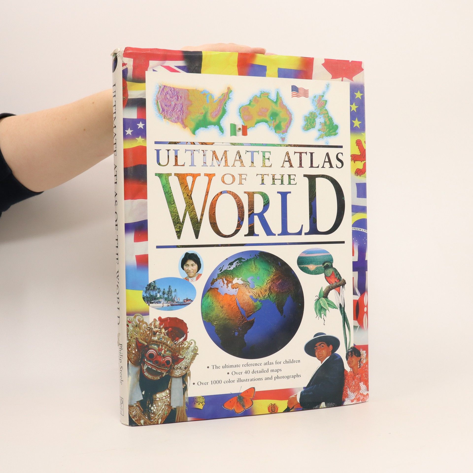
Dieser Atlas besticht durch seine Fülle an aktuellen Informationen und bietet eine aufregende Reise um die ganze Welt. Mithilfe zahlreicher Fotos und Illustrationen können junge Leser alles über ein bestimmtes Land dieser Erde und seine Bevölkerung erfahren. Politische und physische Karten zeigen die genaue Lage auf dem Globus an. Übersichtliche Infokästen mit den wichtigsten Angaben zu Fläche, Bevölkerungszahl, Hauptstadt, Amtsspreche, Währung und vielem mehr vermitteln das grundlegende Wissen zu einem Land auf einen Blick. Dieser Atlas ist eine unerschöpfliche Quelle des Wissens für die ganze Familie.
Atlante del mondo
- 256 pages
- 9 hours of reading
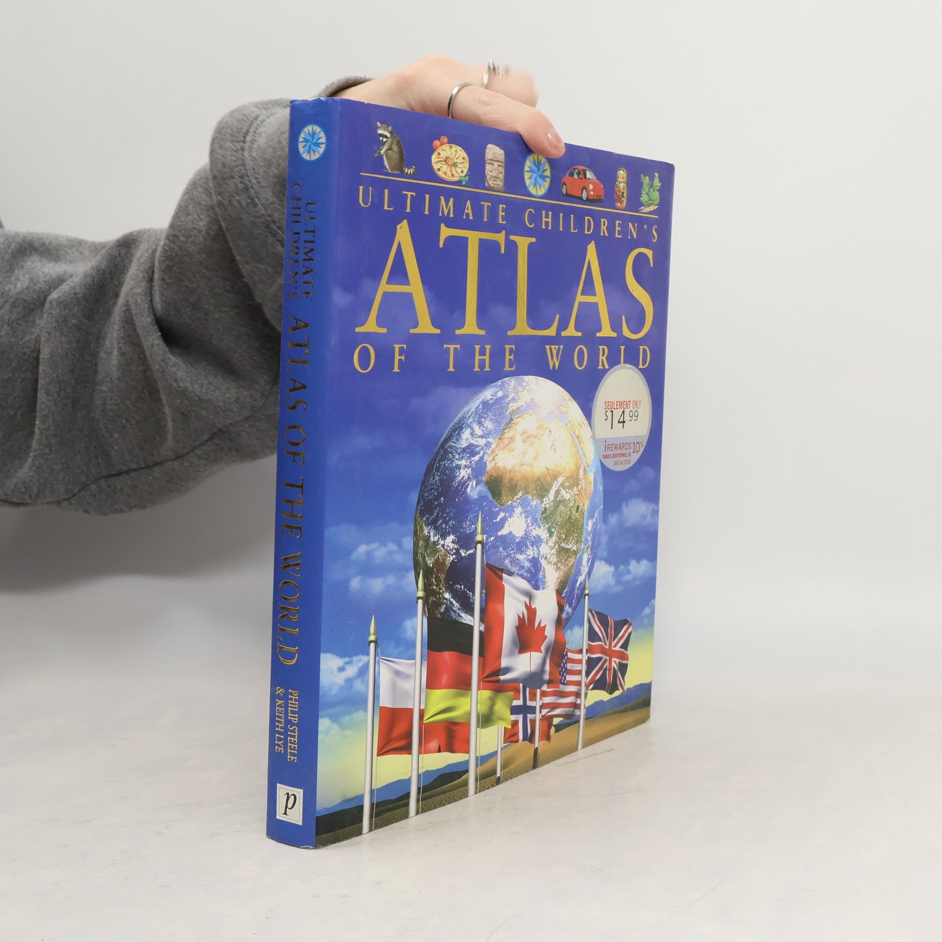
Tento ilustrovaný atlas predstaví čitateľovi celý svet, jeho regióny i národy. Zaoberá sa všetkými štátmi na jednotlivých kontinentoch. Obsahuje podrobné informácie o charaktere krajiny, jednotlivých štátoch regiónu, o podnebí, rastlinstve a živočíchoch i o dejinách jednotlivých štátov. V kapitole o Zemi sa vysvetľuje, ako vznikajú sopky, prečo dochádza k zemetraseniam, ako sa vytvárajú horniny a fosílie, i to, ako sa pohybujú kontinenty. Svet sa neustále mení a mladí čitatelia tu nájdu mapy a informácie aj o tých krajinách, ktoré vznikli len nedávno.
Velká obrazová encyklopedie zeměpisu
- 255 pages
- 9 hours of reading
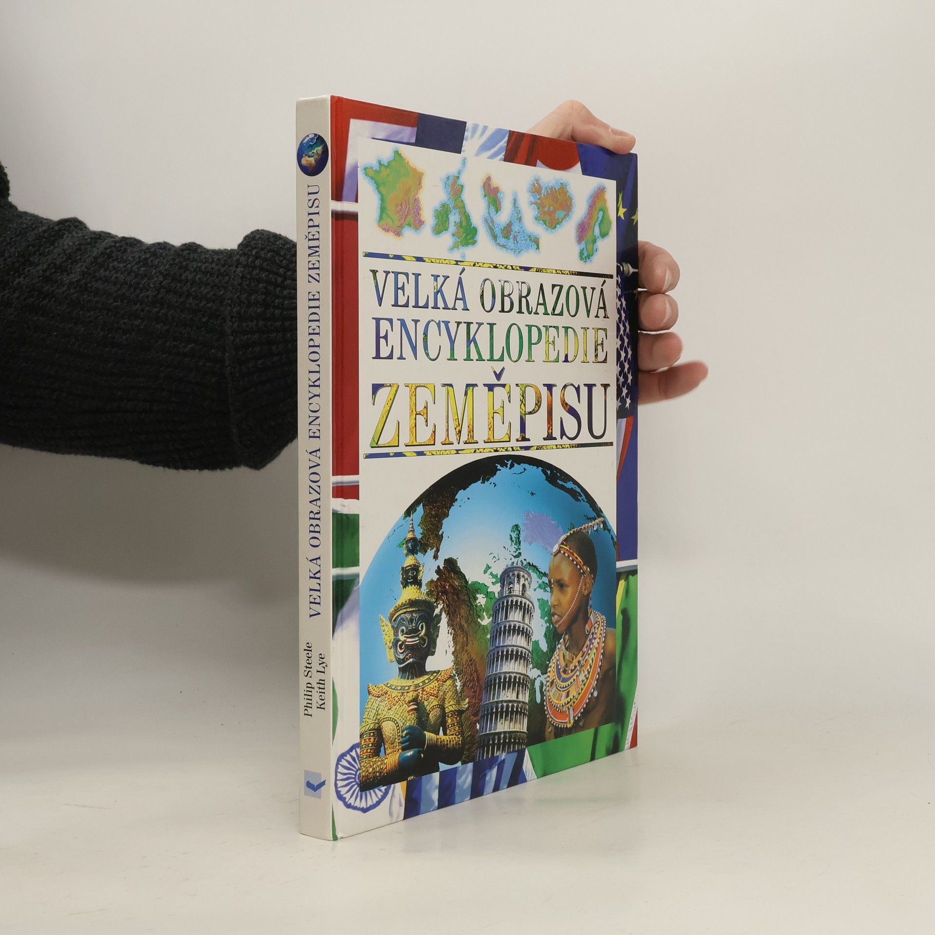
Tato zeměpisná encyklopedie pomáhá mladým čtenářům objevit svět a jeho obyvatele. Výstižný popis každého státu začíná určením jeho polohy na glóbu. S povrchem a krajinou se děti seznámí na reliéfních mapách. Základní fakta o jednotlivých státech jsou shrnuta v rámečcích - počet obyvatel, rozloha, hlavní město, měna….atd.
