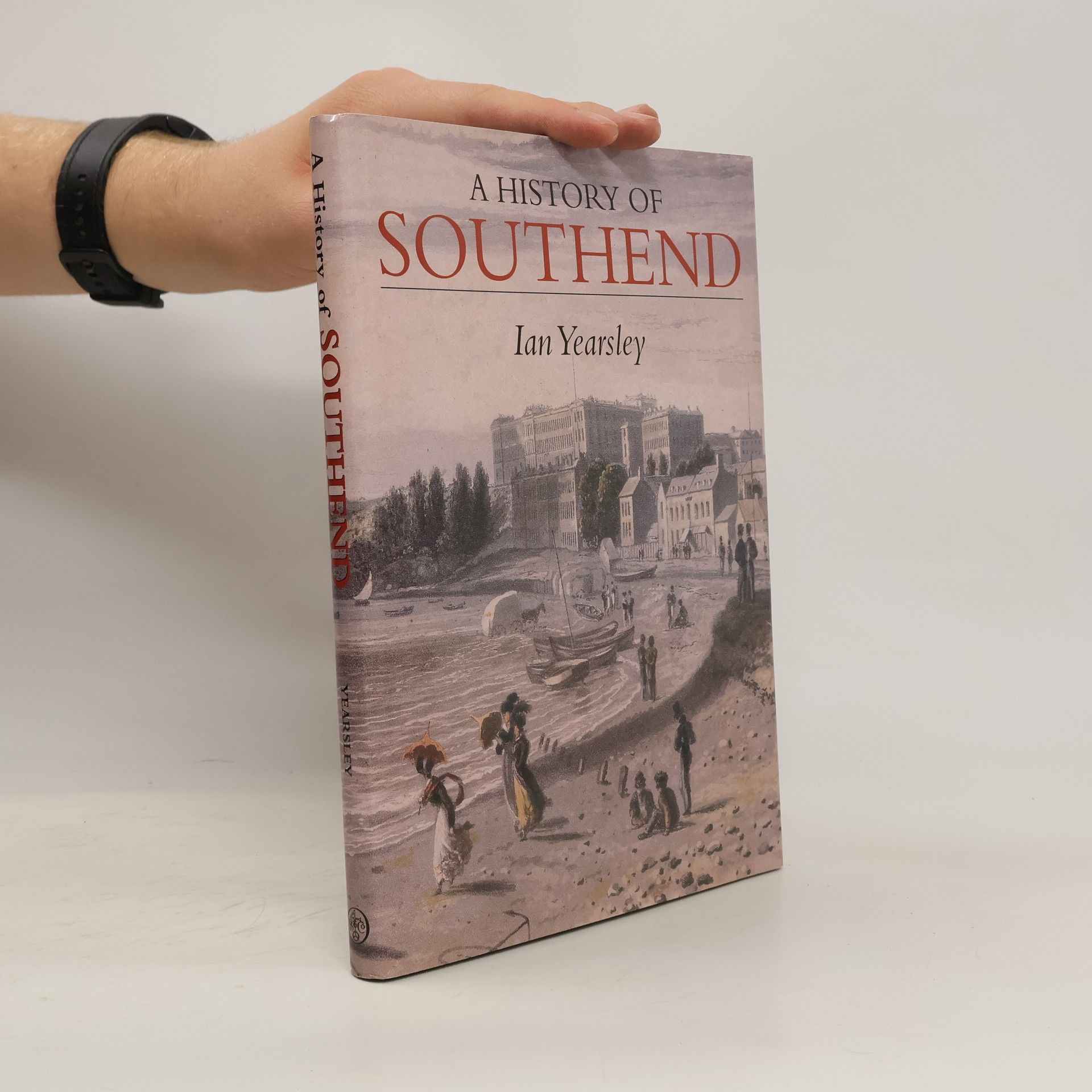
The book offers a comprehensive exploration of Southend's history, tracing its development from prehistoric times to the modern era. It emphasizes key events and influential figures that have shaped the city, providing readers with an engaging narrative that highlights the rich cultural and historical tapestry of Southend.
The book explores the rich history of Ashingdon and South Fambridge, two neighboring parishes in Essex that have merged. It highlights significant archaeological discoveries, including Stone Age artifacts in South Fambridge and Roman influences along Ashingdon Road. The narrative delves into the historical significance of the area, including the 1016 Battle of Assandun between Edmund Ironside and Cnut, and notes their mentions in the Domesday Book, showcasing the parishes' longstanding heritage.
Secret City of Southend explores the lesser-known history of the town of
Southend through a fascinating selection of stories, unusual facts and
attractive photographs.
Exploring the nuances of language and expression, this book delves into the complexities of common phrases and idioms. It highlights how certain words can shape perceptions and provoke reactions, illustrating the often humorous misunderstandings that arise from them. Through witty commentary, it invites readers to reflect on the power of language in everyday interactions, making it a thought-provoking read for anyone interested in linguistics and communication.
This detailed map and very busy map covers Westcliff-on-Sea and part of Chalkwell, west of Southend. Coverage stretches from Gordon Road and Baxter Avenue westward to Chalkwell Park, and from Westborough Road southward to the sea. Sheet 91.05 is included as an inset. Features include railway with Westcliff station, tramways and depot, Nazareth House, cemetery, Sanatorium, St Alban's church, Hamlet Court, St Bernard's Convent, Queen's Hotel, St Saviour's church, Chalkwell Park, Chalkwell Hall, Lindisfarne College, many chapels, schools, cinemas etc. A long stretch of the Esplanade is covered. Ian Yearsley's introduction tells us how the various areas developed. The map links up with sheets 90.04 Leigh-on-Sea to the west and 91.02 Southend Town Centre to the east.
The narrative delves into the iconic character of Count Dracula, a vampire who emerges at night to prey on unsuspecting victims. While his infamous traits and weaknesses, such as aversion to garlic and the need for a stake through the heart, are widely recognized, the novel's setting in the Thameside village of Purfleet, Essex, adds a unique geographical context to the story. This lesser-known aspect enriches the gothic horror tale, grounding it in a specific location that contrasts with its supernatural elements.