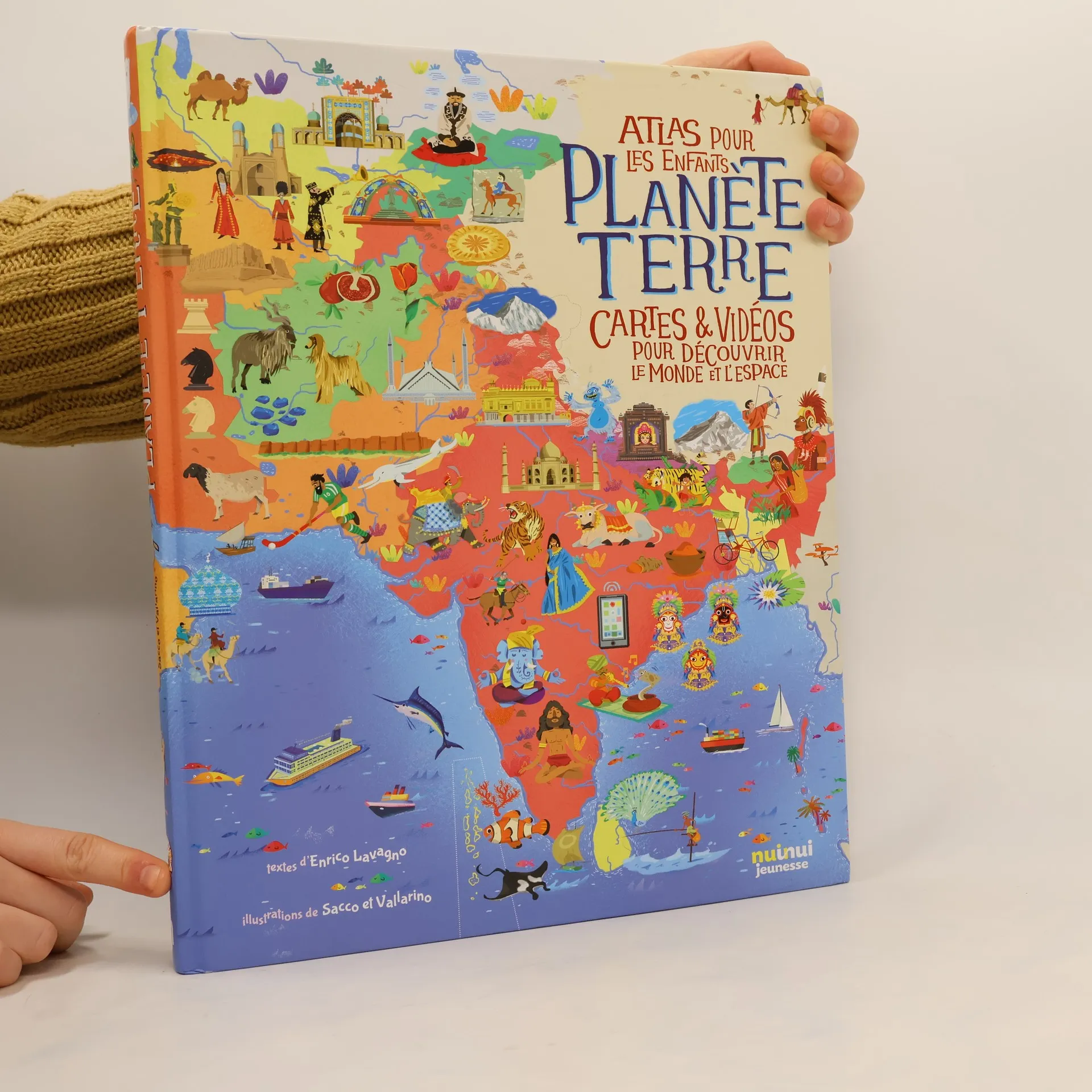


Planète Terre
Atlas pour les enfants : cartes & vidéos pour découvrir le monde et l'espace
- 156 pages
- 6 hours of reading
Comme un véritable explorateur, pars à la découverte de la Terre, de ses continents et de ses mers. Glisse-toi dans la peau d'un courageux astronaute et perce les secrets de l'espace, des étoiles et des planètes. Tu vas découvrir tous les pays du monde grâce à de grandes cartes et plus de 2000 illustrations. Tu visiteras les lieux les plus reculés de la planète, des steppes de Sibérie aux atolls de Polynésie, tu rencontreras des créatures fantastiques, comme le dragon de Komodo ou le diable de Tasmanie, et tu seras ébloui par les merveilles des civilisations de l'Antiquité en découvrant les pyramides de Gizeh ou la Grande Muraille de Chine. Plus de 70 vidéos sélectionnées sur YouTube te transporteront dans des lieux extraordinaires. Chaque carte s'accompagne d'un lien qui te permettra de la télécharger et de l'imprimer.