Simon Forty is the author of numerous highly illustrated books focusing on historical and military subjects, particularly the battlefields of Normandy and the liberation of the Low Countries. His work is characterized by detailed research and visual presentation, offering readers a deep insight into pivotal moments of European history. Forty's style is both informative and accessible, making his books a valuable resource for historians and general readers alike.
First paperback edition of the pictorial history of the decisive role played
by Canada in northwest Europe during the final year of World War II, with
action and aerial photographs, maps and memorials.
The latest in the WWII series by Simon Forty and Leo Marriott provides a
unique, highly illustrated perspective on The Battle of the Bulge using maps,
photography old and new, hardware, memorials, museums, and cemeteries to give
an overview of this crucial campaign. číst celé
The speed of the German Blitzkrieg in 1940 and the relative ease with which
they brushed aside Allied defenses meant four years of occupation. But in June
1944-this time with American forces-the Allies finally returned for a rematch.
The Great War was so devastating – eight million lives were lost globally – that in its aftermath a horrified world expected it to be the final chapter in armed conflict.Mapping The First World War provides a uniquely different perspective on the 'war to end all wars'. An introduction details the causes and progress of the war and is followed by over a hundred maps and charts that show the broad sweep of events, from Germany's 1914 war goals to the final positions of the troops. There are maps depicting movements and battles as well as related documents, such as those on levels of conscription and numbers of weapons. As in all wars, maps were vital to the military organization of all sides during World War I. Before each military event there was the planning, the reconnaissance, and the conjecture as to enemy positions. After the event there would be debriefing, analysis of success and failure, and a redrawing of maps to show new troop positions and boundaries.All of the maps featured in this book have been drawn from the extensive collection held by the National Archives at Kew in west London. Providing a fascinating and unique insight into the planning and organization of military campaigns, Mapping The First World War is essential for anyone interested in military history.
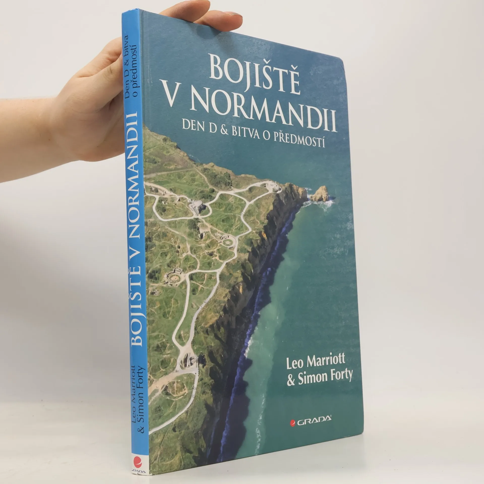
Kniha v původním vydání se setkala u čtenářů s mimořádným úspěchem. Není divu, její klady jsou patrné na první pohled. Jsou to především unikátní dobové fotografie a k nim často paralelně přiřazené fotografie soudobé, umožňující vzájemné porovnání vzhledu klíčových míst, kde se odehrávalo dějství Dne D v červnu 1944.
Moderní fotografie jsou velice kvalitní, jejich autorem je zkušený pilot a fotograf - a jeden z autorů této knihy. Senzaci dále představují dobové plány, bojová schémata a precizně vypracované mapy, které čtenářům dovolují promítnout si jednotlivé fáze nelítostných bitev v Normandii do nejmenšího detailu. Velice přitažlivé na publikaci je i přehledné rozřazení textu do 10 tematicky ucelených kapitol, které spolu s fotografiemi tvoří důmyslně sestavený celek, který sugestivně navozuje atmosféru bojů.
Za pozornost i doklad profesionálního přístupu autorů ke knize určitě stojí třeba i hezká hříčka, jakou je paginace na sudých stranách, k níž bylo použito současné značení trasy Voie de la Liberte, po níž v severní Francii postupovala Pattonova 3. americká armáda a která byla vytyčena na její památku v roce 1947.
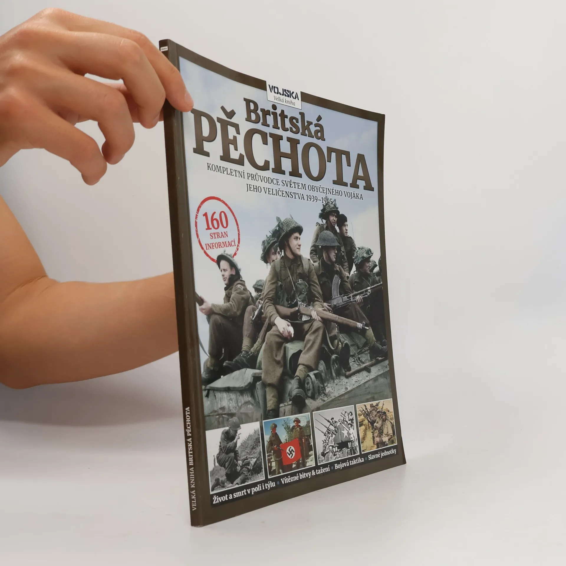
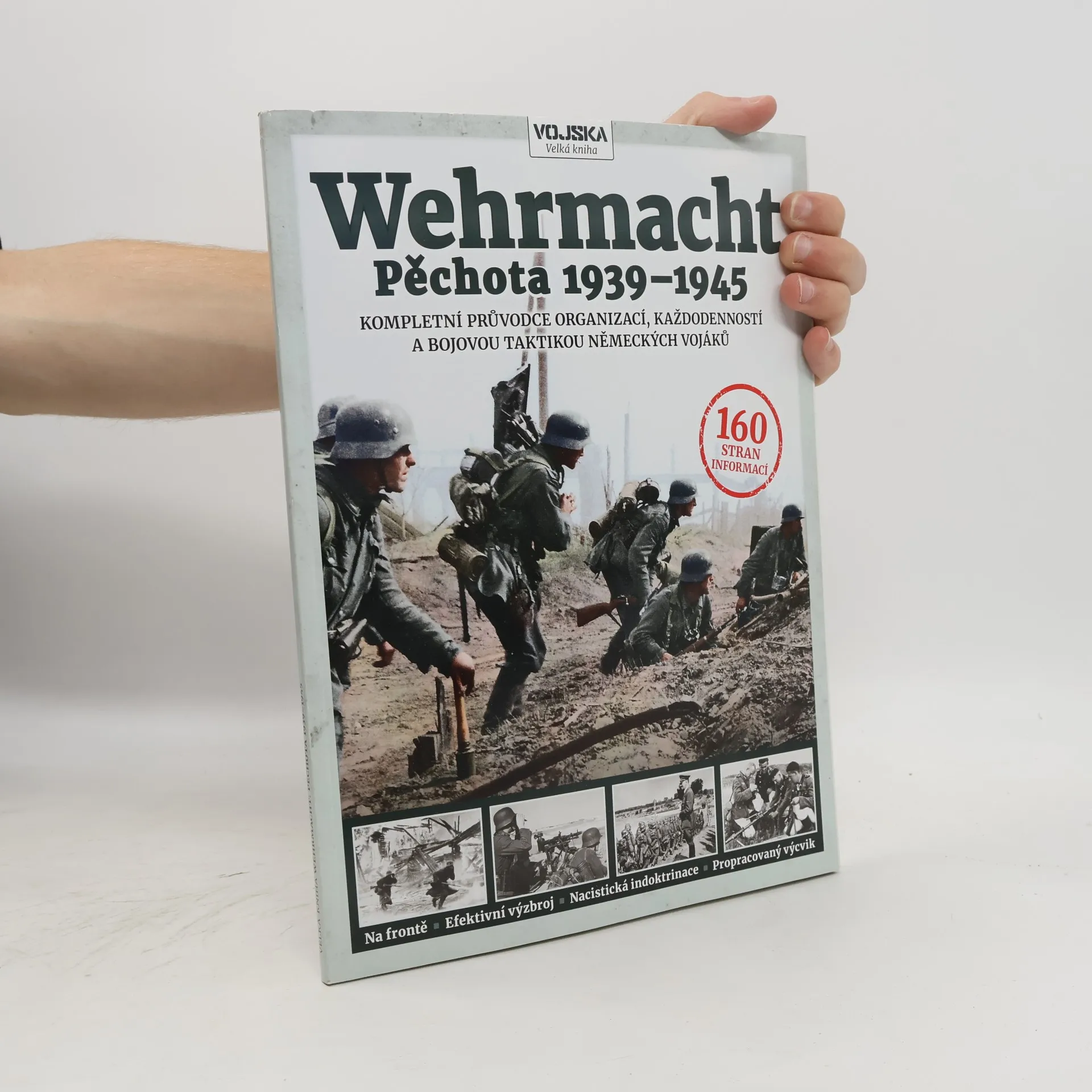
Organizace armády, vznik a vývoj pěších divizí, oblastní členění, obvody a velitelé. Bojová taktika, pěchotní družstvo v akci, formace a fáze útoku, protitankové prostředky. Uniformy a výstroj, hodnosti a barvy druhů vojsk, označení na náramenících, medaile, odznaky a insignie. V letech 1939 až 1945 sloužilo v německém pozemním vojsku bezmála 13 milionů mužů, kteří bojovali na rozsáhlém území Evropy a severní Afriky. Přísahali věrnost Adolfu Hitlerovi, přičemž více než čtyři miliony z nich padly a přes pět milionů bylo raněno. Po dobytí většiny Evropy v letech 1939–1941 se nacistický diktátor zaměřil na Sovětský svaz, kde však armáda přišla o svůj elitní výkvět. I po těchto porážkách se dokázala udržet až do roku 1945 díky kvalitnímu výcviku, indoktrinaci, obranné taktice a osobní statečnosti. Publikace nabízí vyčerpávající informace o vojácích, kteří v letech 1939–1945 bojovali za německé vítězství, mapuje jejich výcvik, organizaci, výzbroj, uniformy a bojovou taktiku. Text je doplněn stovkami fotografií a ilustrací, které poskytují fascinující pohled do života obyčejného německého pěšáka.
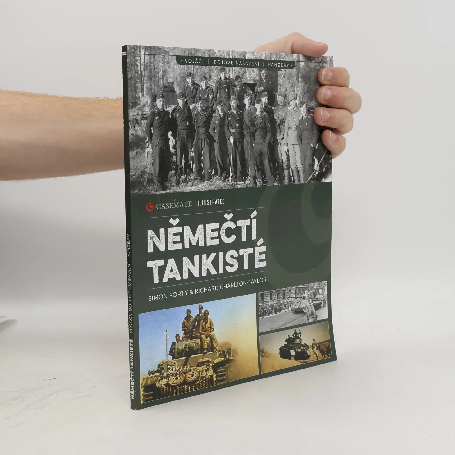
Německá Panzerwaffe rozcupovala na kusy pravidla vedení války, která nastolily krvavé boje v zákopech první světové války. Obrněná vozidla, letecká podpora a talentovaní velitelé zasadili citelné rány většině evropských armád. Panzery významně přispěly k úspěšným tažením Hitlerových vojsk v prvních letech konfliktu a zůstaly neochvějné i v obraně až do posledních dní třetí říše. Opotřebení vlastních strojů a převaha nepřítele sice omezovaly ofenzivní možnosti tanků s trámovými kříži na korbách či věžích, ale díky stále silnějším zbraním zpevňovaly hroutící se obranu až do května 1945. Za těmito úspěchy stály nejen vyspělé typy tanků, ale také profesionalita jejich osádek. Sebelepší zbraň je jen tak dobrá, jak dobří jsou ti, kdo ji ovládají, a příslušníci Panzerwaffe – od nejvyššího velení až po jednotlivé tankisty – prokázali, že ji umí používat velmi dobře.