Explore the latest books of this year!
Bookbot

Rand Mcnally

    Delorme Atlas & Gazetteer: Pennsylvania
    Delorme Atlas & Gazetteer: North Carolina
    Delorme Atlas & Gazetteer: Iowa
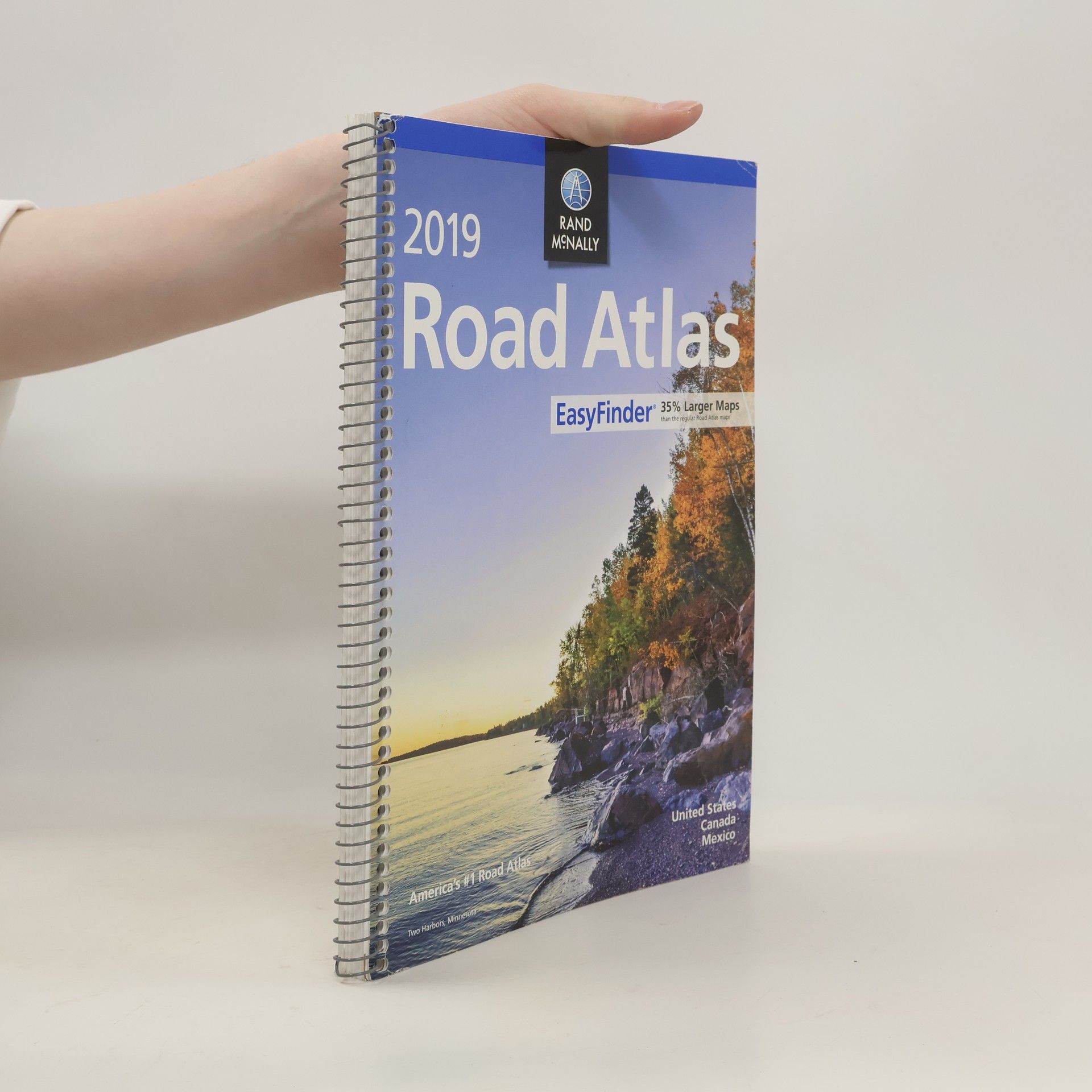
    Rand McNally 2019 Easyfinder Midsize Road Atlas
    Rand McNally Easy to Read Folded Map: Florida State Map
    Rand McNally Easy to Read Folded Map: West Virginia State Map
    • 2023

      Delorme Atlas & Gazetteer: Louisiana

      • 64 pages
      • 3 hours of reading

      With an incredible wealth of detail, DeLorme's Atlas & Gazetteer is the perfect companion for exploring the Louisiana outdoors. Extensively indexed, full-color topographic maps provide information on everything from cities and towns to historic sites, scenic drives, trailheads, boat ramps and even prime fishing spots. The Atlas & Gazetteer is your most comprehensive navigational guide to Louisiana's backcountry. - Full-color topographic maps provide information on everything from cities and towns to historic sites, scenic drives, recreation areas, trailheads, boat ramps and prime fishing spots. - Extensively indexed. - Handy latitude/longitude overlay grid for each map allows you to navigate with GPS. - Inset maps provided for major cities as well as all state lands. Product Details: 64 pages; Dimensions: 15.5" x 11".

      Delorme Atlas & Gazetteer: Louisiana
    • 2023

      Rand McNally 2024 Road Atlas

      • 144 pages
      • 6 hours of reading

      Beginning with it's predecessor, the Auto Chum in 1924, the Rand McNally Road Atlas has been the essential, trusted tool for road travelers for 100 years. Celebrating its centennial anniversary, this 2024 Special Collector's Edition features a trip down memory lane - a nostalgic look back at 100 years of roadside culture, cars, and the highway system that shaped the open road, as well as showcasing Road Atlas covers throughout the years. This updated 2024 edition contains maps of every U.S. state and Canadian province, an overview map of Mexico, and detailed inset maps of over 350 cities and 20 national parks. Road construction and conditions contact information for every state conveniently located above the maps. Contains mileage chart showing distances between 90 North American cities and national parks along with a driving times map. Tell Rand! As much as we work to keep our atlases up to date, conditions change quickly and new construction projects begin frequently. If you know of something we haven't captured in our atlas, let us know at randmcnally.com/tellrand. Tourism websites and phone numbers for every U.S. state and Canadian province on map pages. Dimensions: 10 7/8 x 15 3/8.

      Rand McNally 2024 Road Atlas
    • 2023

      Published in the early 1900s, this album offers readers a glimpse of New York City at the turn of the century. The photographs are accompanied by detailed captions that provide historical context and offer insights into the growth and development of America's largest and most dynamic city. Readers with an interest in urban history and photography will find this book to be an indispensable resource.

      Greater New York Album. One Hundred Selected Views, New York City, Brooklyn, Staten Island, etc. Fro
    • 2023

      Every mile, in every cab, American truckers rely on Rand McNally's Motor Carriers' Road Atlas for the most comprehensive highway and trucking information on the market. America's #1-selling trucking atlas is designed to meet the unique needs of professional drivers, helping you save time, save money, and stay compliant. - Detailed coverage of state and national designated routes. - Updated restricted routes, low clearance, and weigh station locations. - 22-page mileage directory including more than 40,000 truck-route-specific, city-to-city mileage. - Road construction and conditions hotlines. - Updated coverage of hazardous materials regulations. - Easy-to-use chart of state and provincial permit agency phone numbers and websites. Format: Perfect bound. Dimensions: 10.875" x 15.3215".

      Rand McNally 2024 Motor Carriers' Road Atlas
    • 2023

      Beginning with it's predecessor, the Auto Chum in 1924, the Rand McNally Road Atlas has been the essential, trusted tool for road travelers for 100 years. Celebrating its centennial anniversary, this 2024 Special Collector's Edition features a trip down memory lane - a nostalgic look back at 100 years of roadside culture, cars, and the highway system that shaped the open road, as well as showcasing Road Atlas covers throughout the years. This spiral-bound midsized atlas contains updated, easy-to-read, large print maps of the U.S., Canada, and Mexico, plus detailed maps of over 50 North American cities, in a convenient travel size that fits in a glove box. Spiral, stay-flat binding allows the book to lay open easily. Other Features: Tell Rand! As much as we work to keep our atlases up to date, conditions change quickly and new construction projects begin frequently. If you know of something we haven't captured in our atlas, let us know at randmcnally.com/tellrand. Mileage chart showing distances between 77 cities and national parks with driving times map. Road construction and conditions phone numbers and websites. Tourism websites and phone numbers for every U.S. state and Canadian province on map pages. Spiral Bound.

      Rand McNally 2024 Easy to Read Midsize Road Atlas
    • 2022
    • 2022

      Rand McNally Classroom Atlas: Grades 4-9

      • 208 pages
      • 8 hours of reading

      All new edition of Rand McNally's award-winning Classroom Atlas. This new edition includes 80 new pages (for a total of over 200 pages) of maps, charts & figures about the world, as well as a new special section with deeper coverage of the United States. Give your 4th-9th grade students the advantage of working with this best-selling atlas. Clearly organized by continent, Rand McNally's Classroom Atlas is packed with maps, photos, infographics, critical-thinking questions, and brain teasers -- all helping to develop map skills and build global competency in your students. Atlas features: - Over 200 pages packed with maps, photos, infographics, critical-thinking questions & brain teasers. - Help develop map skills & build global competency. - Includes essential how-to information on using an atlas. - Dimensions: 8.5" x 10.875" - Perfect Bound - 208 pages.

      Rand McNally Classroom Atlas: Grades 4-9