

Explore the latest books of this year!
Bookbot

Vincent Virga

    Vincent Virga is celebrated as "America's foremost picture editor," a title earned through his extensive work on over 150 books. He possesses a profound ability to research, edit, and design visual narratives, seamlessly blending imagery with text. His expertise lies in crafting compelling visual histories and photo essays that resonate deeply with readers. Beyond his celebrated editorial contributions, Virga is also an accomplished author, demonstrating a versatile talent for storytelling.

    Historic maps and views of New York
    Eyes of the Nation
    Cartographia: Mapping Civilizations
    • Cartographia: Mapping Civilizations

      • 272 pages
      • 10 hours of reading

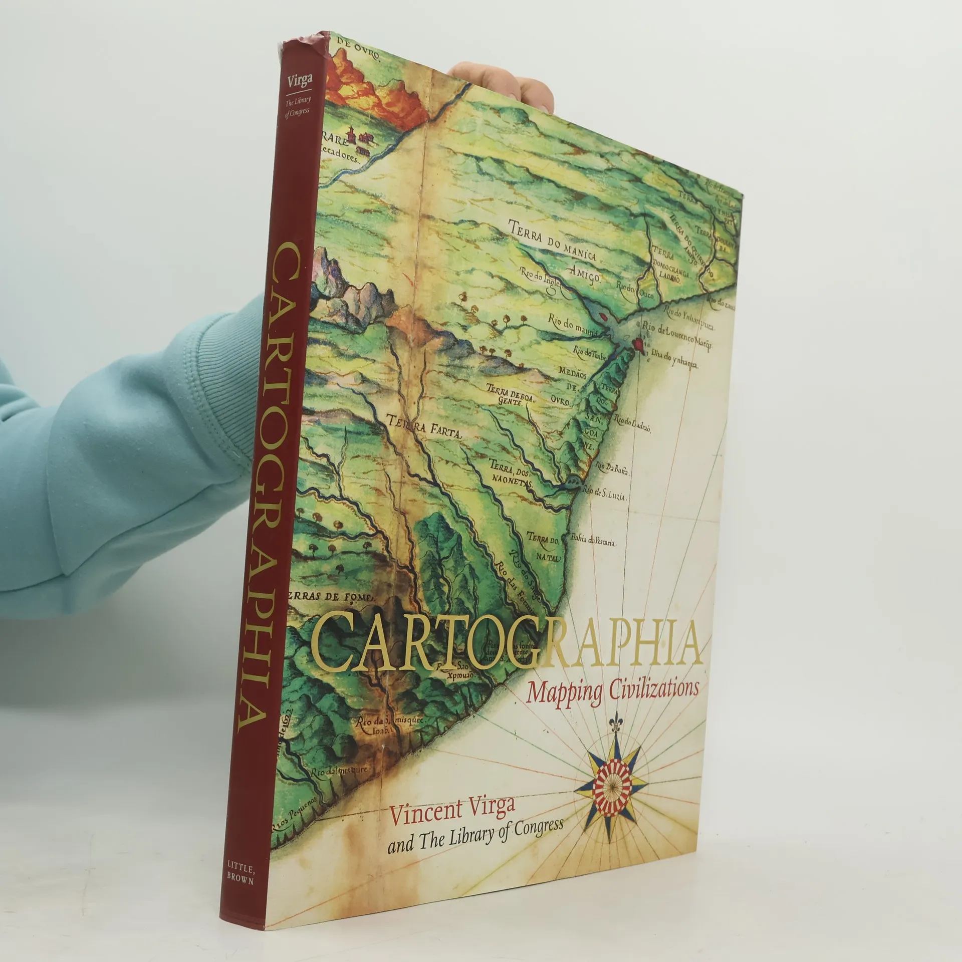
      CARTOGRAPHIA offers a stunning array of 200 of the most beautiful, important, and fascinating maps in existence, from the world's largest cartographic collection, at the Library of Congress. These maps show how our idea of the world has shifted and grown over time, and each map tells its own unique story about nations, politics, and ambitions. The chosen images, with their accompanying stories, introduce the reader to an exciting new way of "reading" maps as travelogues---living history from the earliest of man's imaginings about planet earth to our current attempts at charting cyberspace. Among the rare gems included in the book are the Waldseemuller Map of the World from 1507, the first to include the designation "America"; pages from the Ortelius's Theatrum Orbis Terrarum of 1570, considered the first modern atlas; rare maps from Africa, Asia, and Oceania that challenge traditional Western perspectives; William Faulkner's hand-drawn 1936 map of the fictional Yoknapatawpha County, Mississippi; and even a map of the Human Genome. In an oversized format, with gorgeous four-color reproductions throughout, Catrographia will appeal to collectors, historians, and anyone looking for a perfect gift.

      Cartographia: Mapping Civilizations
      4.1
    • Eyes of the Nation

      A Visual History of the United States

      • 399 pages
      • 14 hours of reading

      America's past is made intriguingly accessible through a captivating narrative-in-pictures, enhanced by seven chapters of historical commentary from distinguished historian Alan Brinkley. The book draws from the extensive Special Collections of the Library of Congress, featuring maps, prints, photographs, and more. It vividly chronicles the journey from early encounters between Europeans and Indians, through colonial times, the founding of the nation, industrialization, western expansion, and the transformative events of the nineteenth and twentieth centuries, leading to the present day. The art selection by Vincent Virga and the Library's Curators brings each stage of the nation's development to life with striking visuals. Notable artifacts include an 1714 Indian treaty, a wanted poster for John Wilkes Booth, and a naval dispatch from 1941. The book also showcases intriguing elements of popular culture and social history, such as an 1776 eighteen-pence note, the first telegraphic tape, and a 1915 advertisement for the Pierce-Arrow automobile. Renowned American artists, from John James Audubon to Dorothea Lange, are beautifully represented. Detailed captions accompany the images, and thematic interludes explore four elemental aspects of the American experience: the garden, the river, the city, and our people. This audacious and sophisticated approach to history is both visual and textual, making it a unique and compelling

      Eyes of the Nation
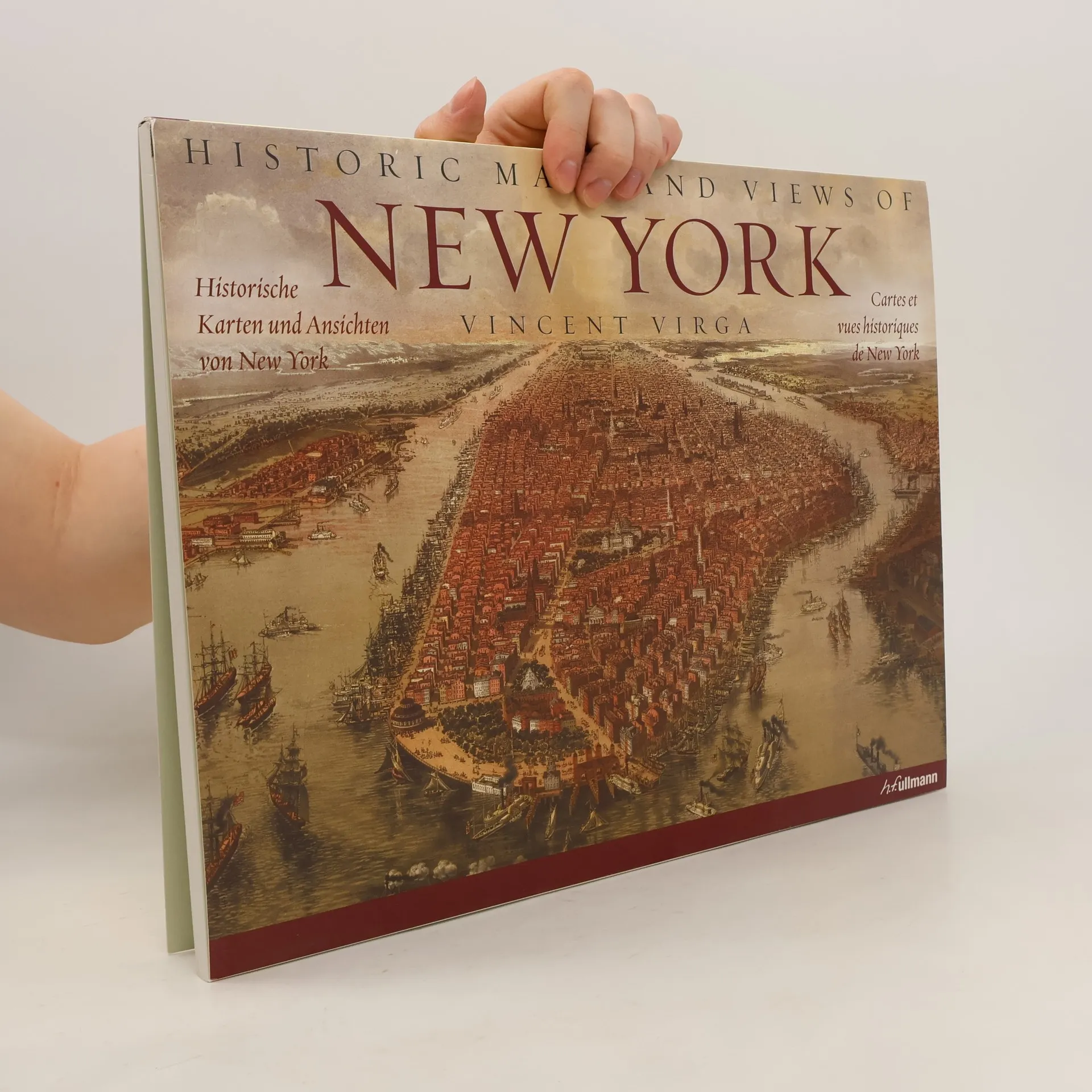
    • Vingt-quatre cartes et vues historiques de New York et de ses environs, datant des années 1600 à nos jours. Cette collection fascinante comprend l'une des premières cartes connues de Manhattan, une carte détaillée de Central Park, une carte topographique complète de l'île de Manhattan, une carte du métro ancienne, des aperçus de Brooklyn et du Queens, et bien plus encore. Les informations d'impression originales de chaque carte sont fournies, ainsi que des informations supplémentaires qui les replacent dans un contexte historique et éclairent davantage leurs caractéristiques. Chaque carte est magnifiquement reproduite pour mettre en valeur sa couleur et ses détails.

      Historic maps and views of New York
      4.5