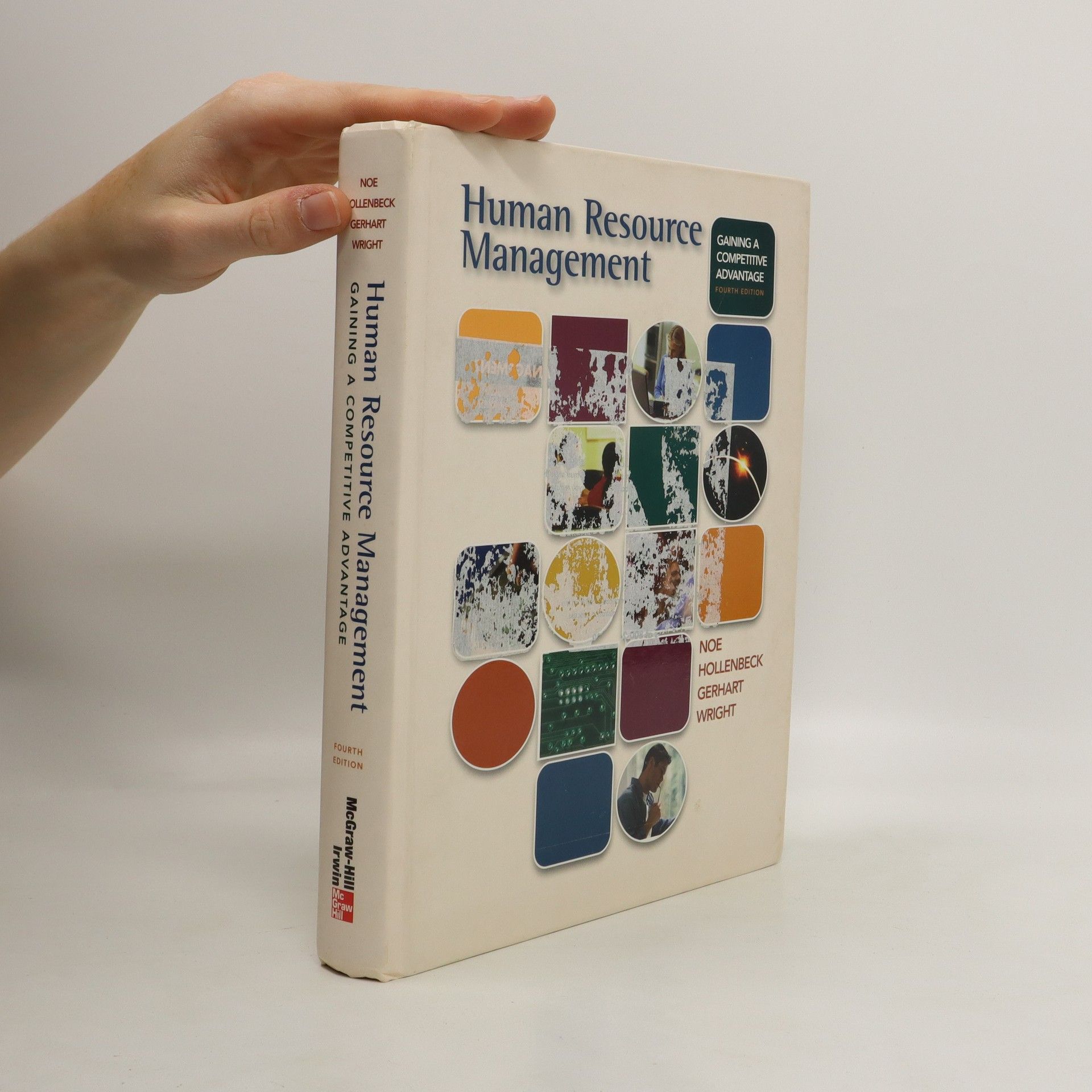
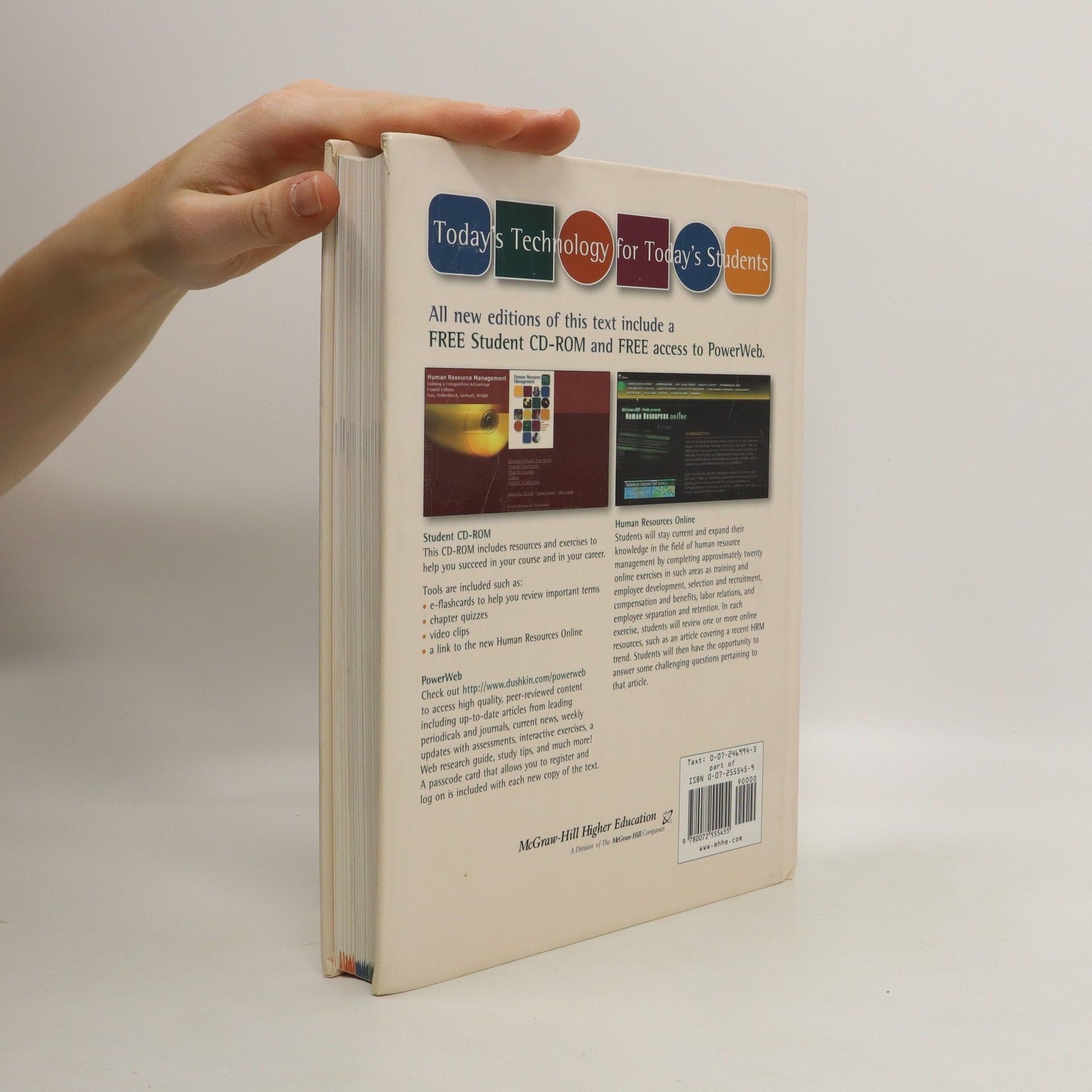
More about the book
An atlas of Worcestershire, giving comprehensive and detailed coverage of the region. The mapping is produced by the Ordnance Survey to Philip's specification and gives the user complete coverage of all urban and rural areas. The mapping is at a standard scale of 3.5 inches to one mile and is complete with postcode boundaries.
Book purchase
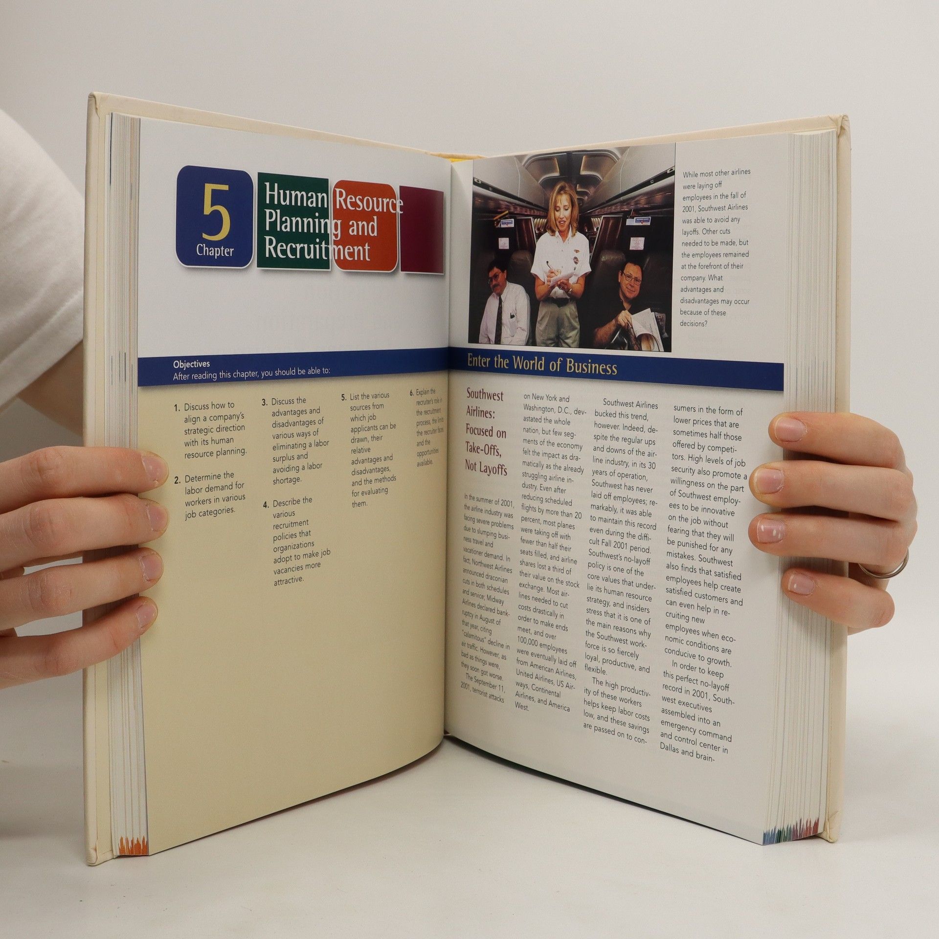
Human Resource Management, Raymond A. Noe, Barry Gerhart, John R. Hollenbeck
- Language
- Released
- 2003
- product-detail.submit-box.info.binding
- (Hardcover)
We’ll email you as soon as we track it down.
Payment methods
We’re missing your review here.
