Sold out
More about the book
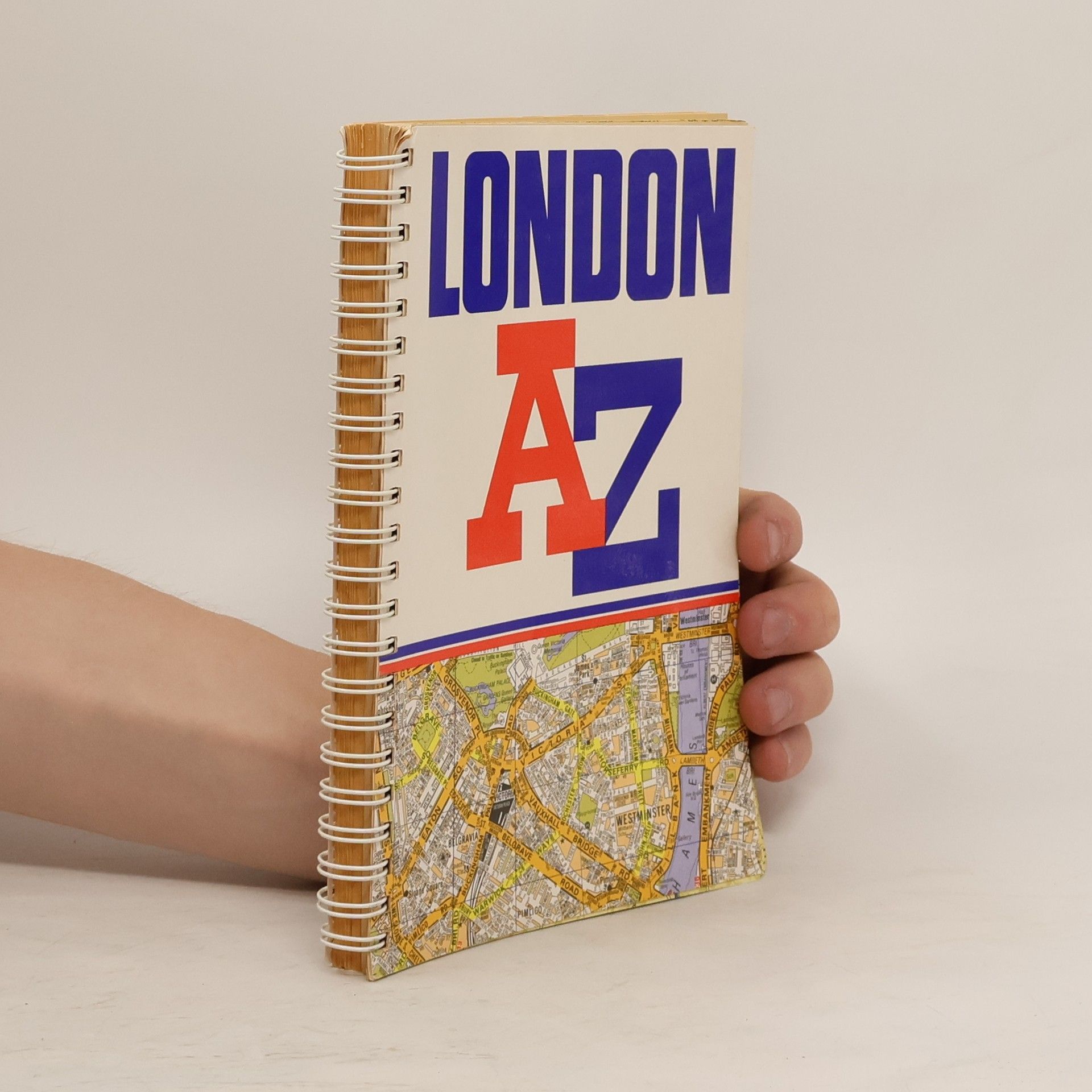
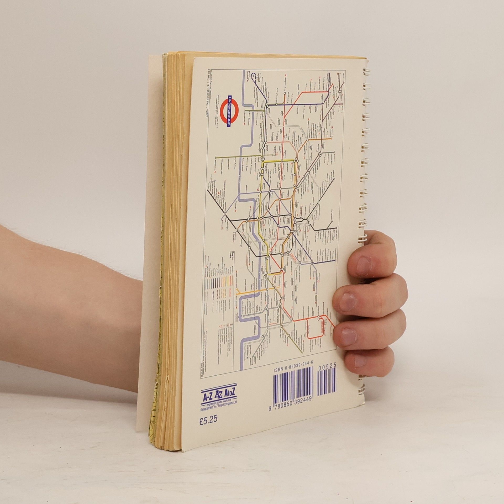
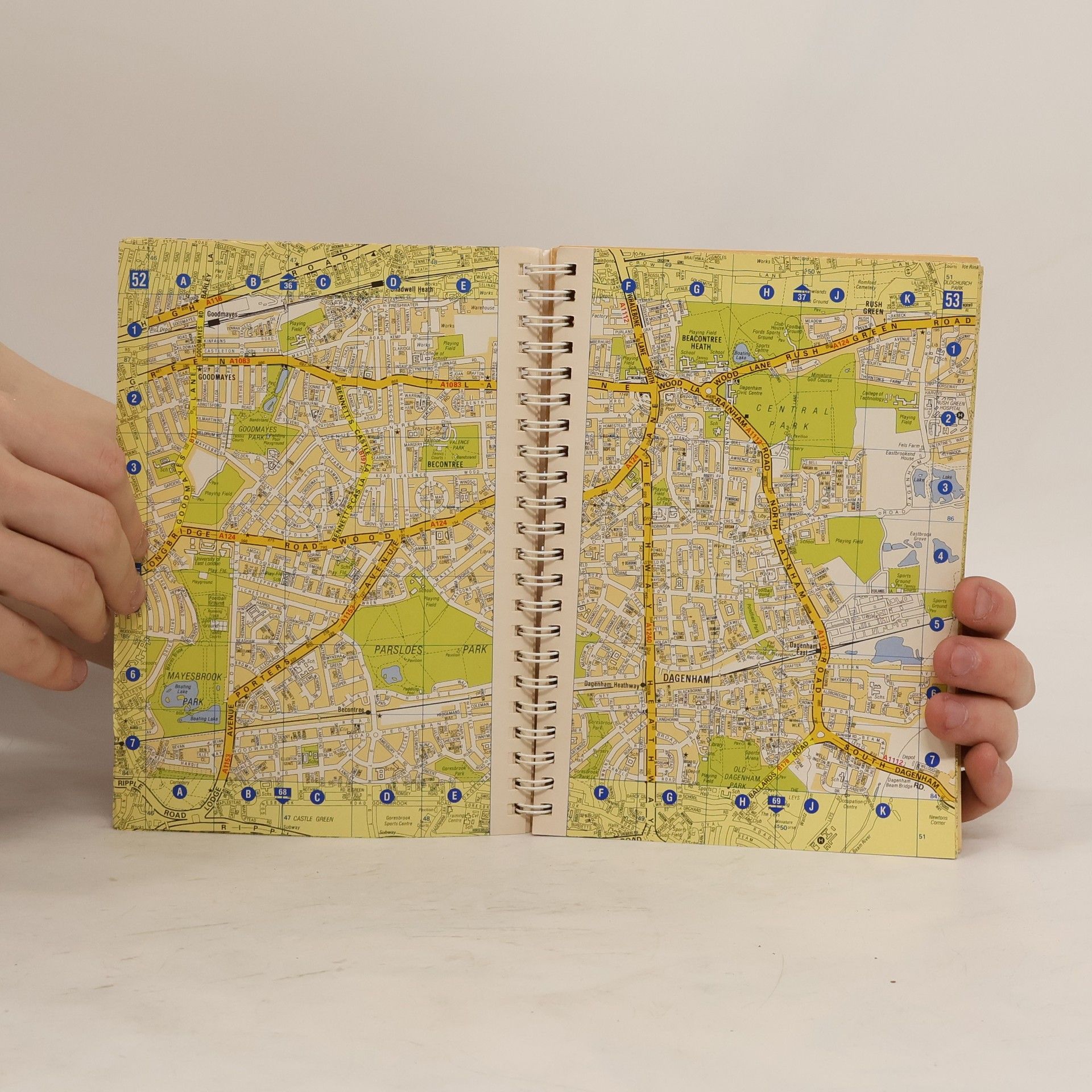
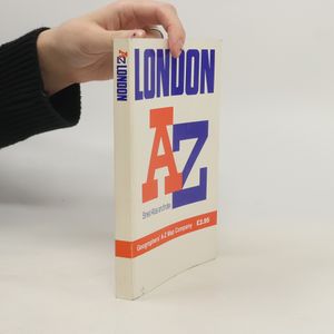
London cabbies train for years to gain intimate knowledge of the city. The London A-Z is their bible. This highly detailed city atlas is in every glove compartment of every car in the UK -- and for good reason. It shows every street, lane and courtyard there is. In addition, it shows the tube and mainline train stations, gardens, parks, schools and major points of interest. With all-color maps for easy reading, the London A-Z is a top seller. It is continuously updated to ensure the 40,000 thorough-fares shown are current. Fully indexed.
Book purchase
AZ London Street Atlas, Geographers A. Z. Map Company
- Language
- Released
- 1995
- product-detail.submit-box.info.binding
- (Spiral)
Payment methods
We’re missing your review here.


