
Sold out


More about the book
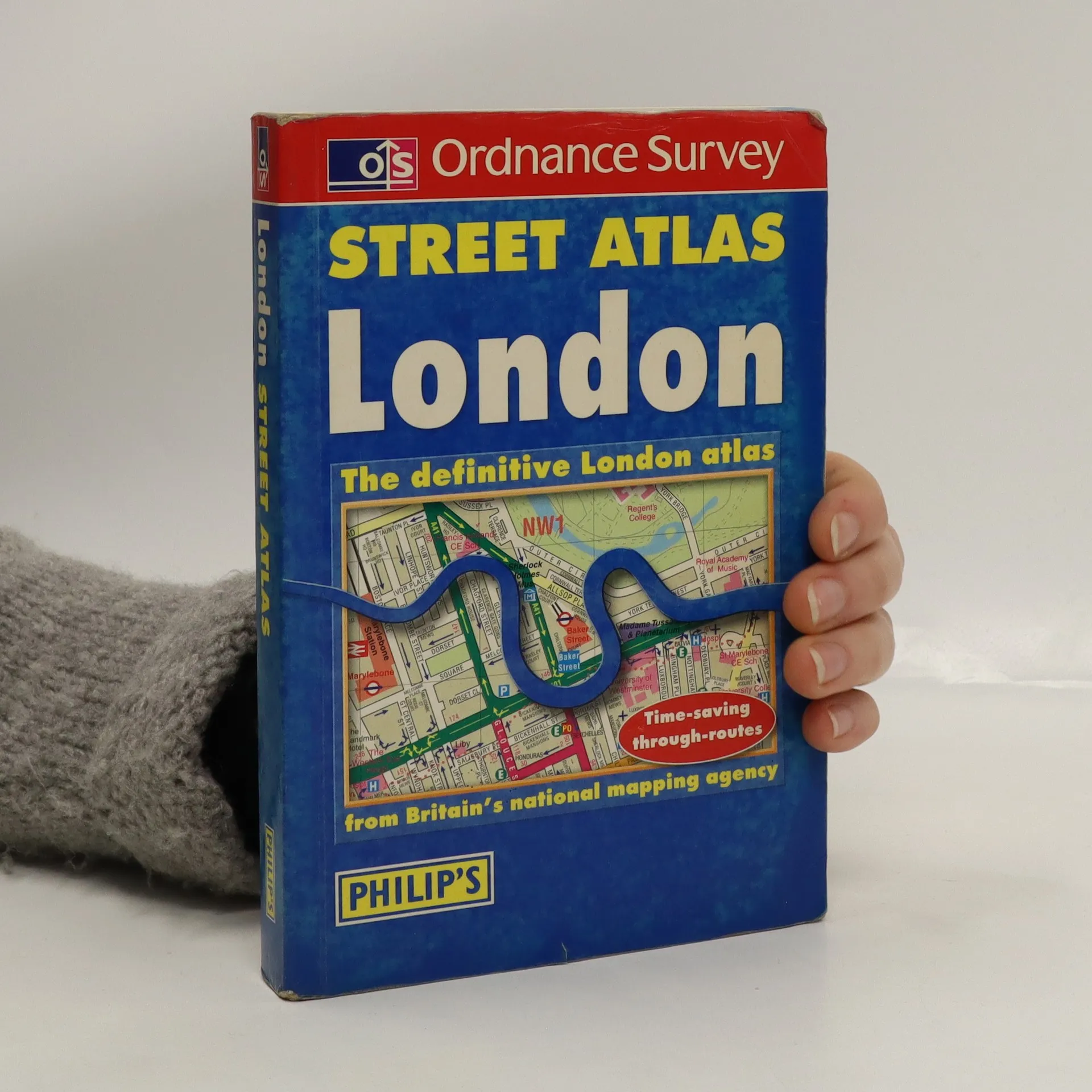
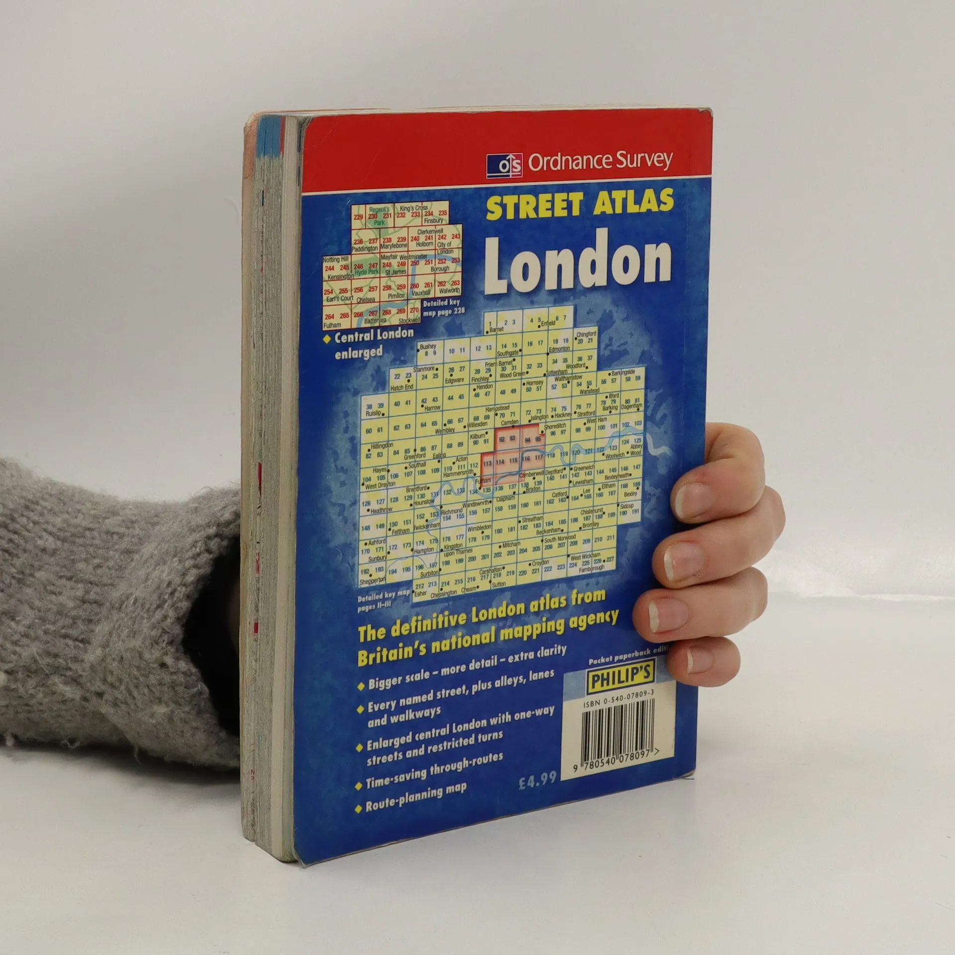
This atlas uses a scale of 3.5 inches:1 mile. It has a detailed index and shows through routes to help with journey planning. A planning map shows main roads in and out of London, and there are route indicators on major roads as they come to the edge of the mapping. Postcode districts and boundaries are shown on both the main mapping and on a separate map. The central area is enlarged (7 inches:1 mile), and shows one-way streets and restricted turns.
Book purchase
Street Atlas: London, Various authors
- Language

- Released
- 2000
- product-detail.submit-box.info.binding
- (Paperback)
We’ll email you as soon as we track it down.
Payment methods
No one has rated yet.
- Title
- Street Atlas: London
- Language
- English
- Authors
- Various authors
- Publisher
- Philip's
- Released
- 2000
- Format
- Paperback
- ISBN10
- 0540078093
- ISBN13
- 9780540078097
- Series
- Collection
- Ordnance Survey
- Description
- This atlas uses a scale of 3.5 inches:1 mile. It has a detailed index and shows through routes to help with journey planning. A planning map shows main roads in and out of London, and there are route indicators on major roads as they come to the edge of the mapping. Postcode districts and boundaries are shown on both the main mapping and on a separate map. The central area is enlarged (7 inches:1 mile), and shows one-way streets and restricted turns.