
Sold out
More about the book
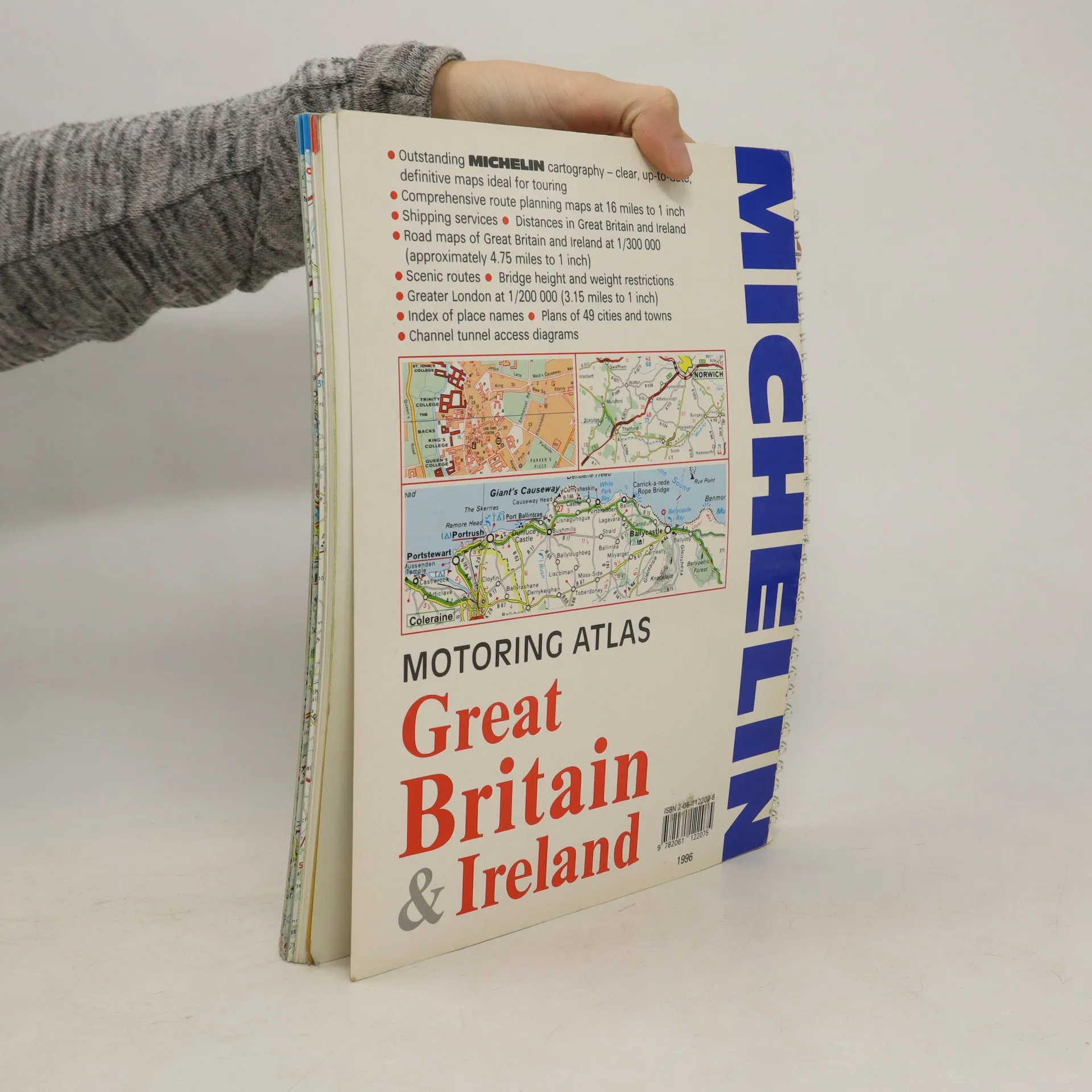
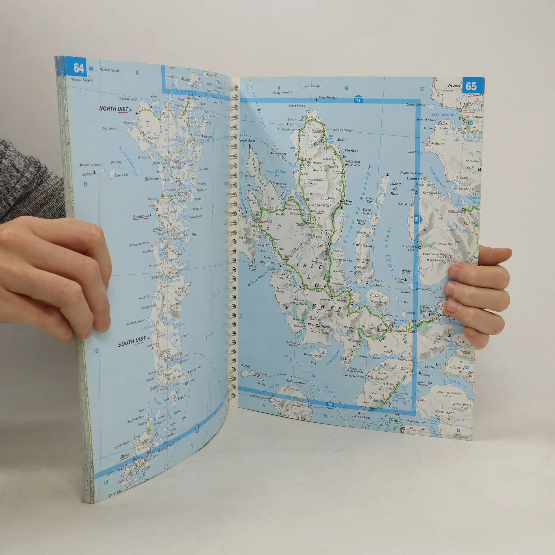
A motoring atlas of Great Britain and Ireland, with cartography at a scale of 1:300,000. Scenic routes are indicated, and other features include shipping services, distances, bridge height and weight restrictions, 49 city and town plans, and Channel Tunnel access diagrams.
Book purchase
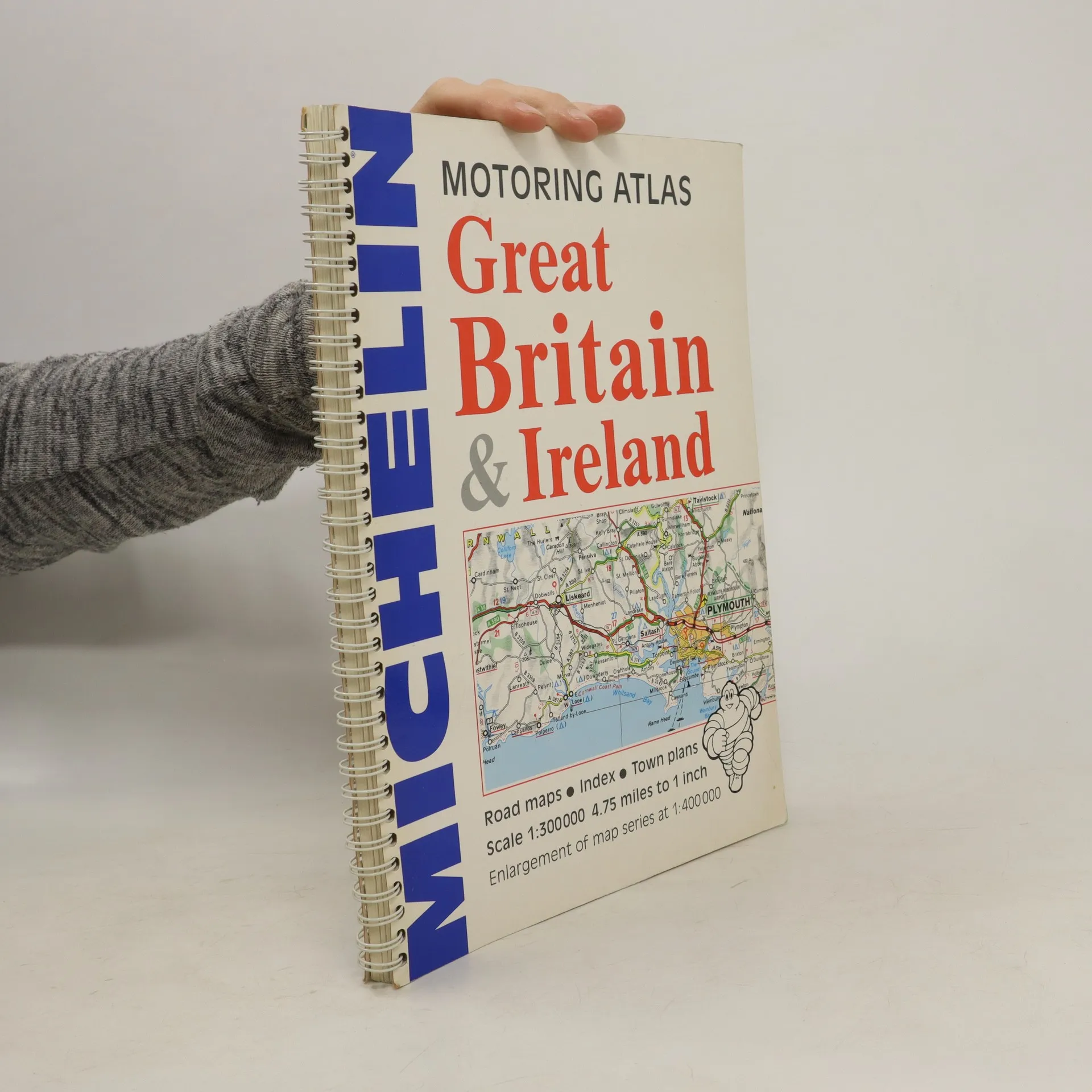
Motoring Atlas Great Britain & Ireland, Various authors
- Language

- Released
- 1996
- product-detail.submit-box.info.binding
- (Spiral)
We’ll email you as soon as we track it down.
Payment methods
We’re missing your review here.
- Title
- Motoring Atlas Great Britain & Ireland
- Language
- English
- Authors
- Various authors
- Publisher
- Michelin Travel Publications
- Released
- 1996
- Format
- Spiral
- Pages
- 147
- ISBN10
- 2061122078
- ISBN13
- 9782061122075
- Series
- Tags
- Non-Fiction, Maps & Travel
- Rating
- 3 out of 5
- Description
- A motoring atlas of Great Britain and Ireland, with cartography at a scale of 1:300,000. Scenic routes are indicated, and other features include shipping services, distances, bridge height and weight restrictions, 49 city and town plans, and Channel Tunnel access diagrams.