Parameters
More about the book
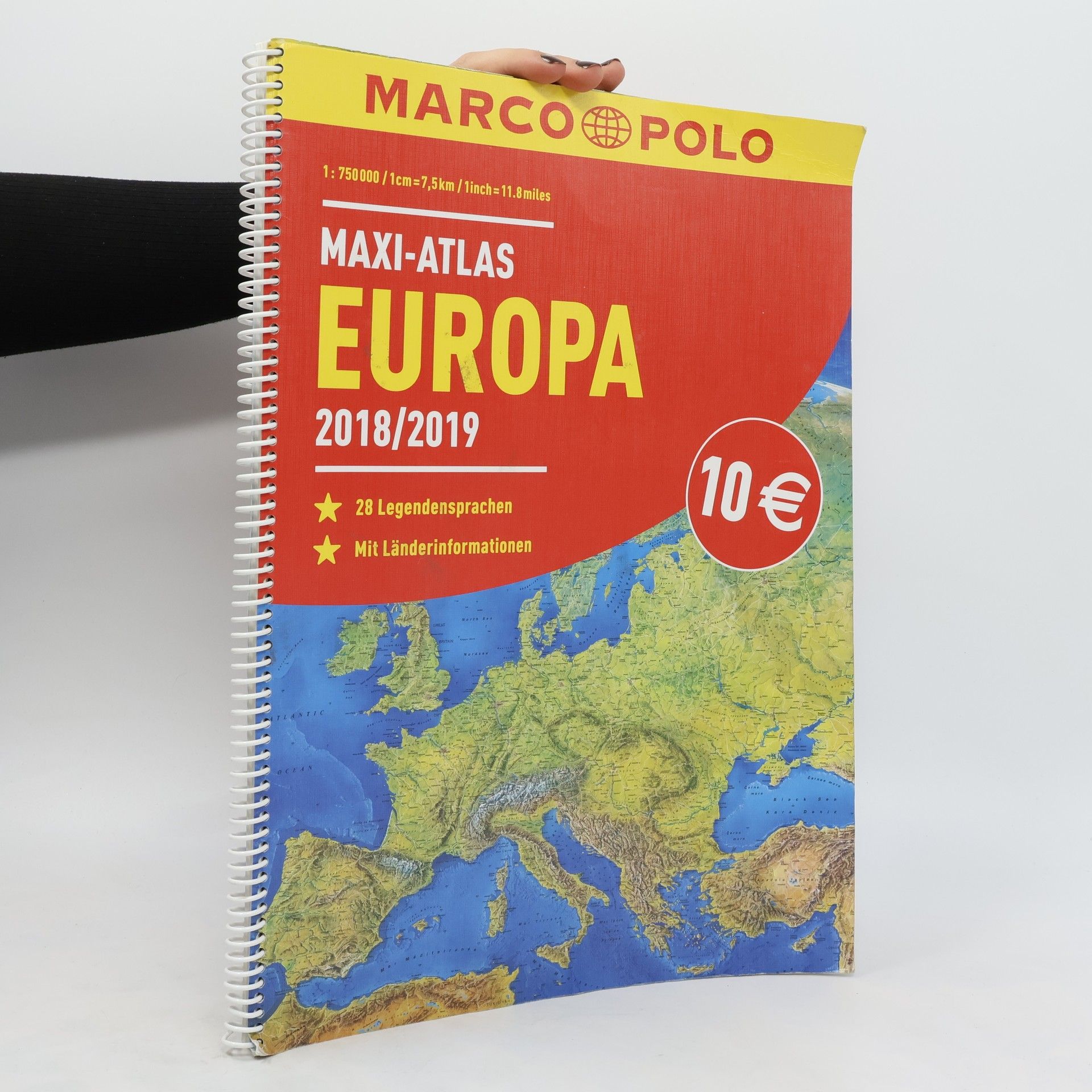
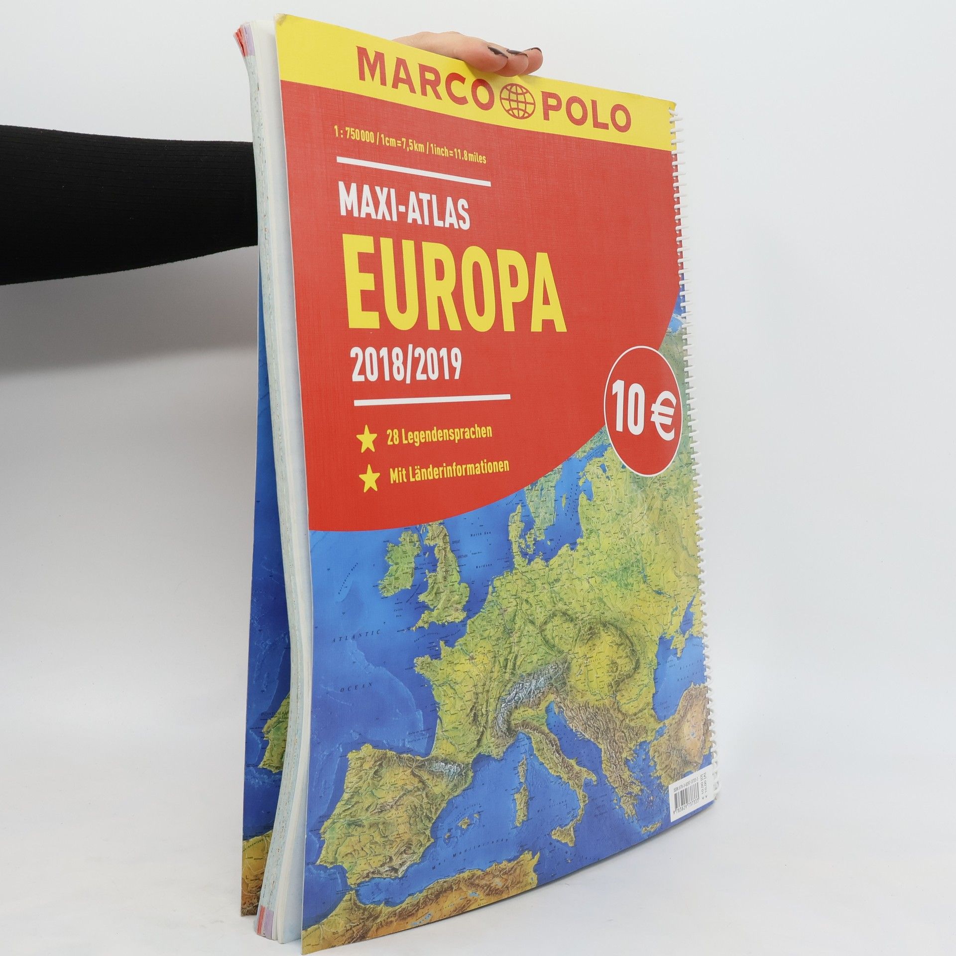
Panoramakarte Europa, 2 Übersichtskarten (physisch, politisch) Europa in 1:20 Mio, Europa Planungskarten 1:4,5 Mio, 28-sprachige Legende, Kartenteile 1:750.000, 1:1 Mio, 1:2 Mio, Ortsverzeichnis, Übersicht der Länderflaggen, 248 Seiten, flexibler Einband, Spiralbindung. Format 28,5 x 38,8 cm
Book purchase
MARCO POLO Maxi-Atlas Europa 2018/2019, MairDuMont
- Language
- Released
- 2018
We’ll notify you via email once we track it down.
Payment methods
- Title
- MARCO POLO Maxi-Atlas Europa 2018/2019
- Language
- German
- Authors
- MairDuMont
- Publisher
- MairDuMont
- Publisher
- 2018
- Format
- Paperback
- ISBN10
- 3829737335
- ISBN13
- 9783829737333
- Description
- Panoramakarte Europa, 2 Übersichtskarten (physisch, politisch) Europa in 1:20 Mio, Europa Planungskarten 1:4,5 Mio, 28-sprachige Legende, Kartenteile 1:750.000, 1:1 Mio, 1:2 Mio, Ortsverzeichnis, Übersicht der Länderflaggen, 248 Seiten, flexibler Einband, Spiralbindung. Format 28,5 x 38,8 cm


