
Sold out

More about the book
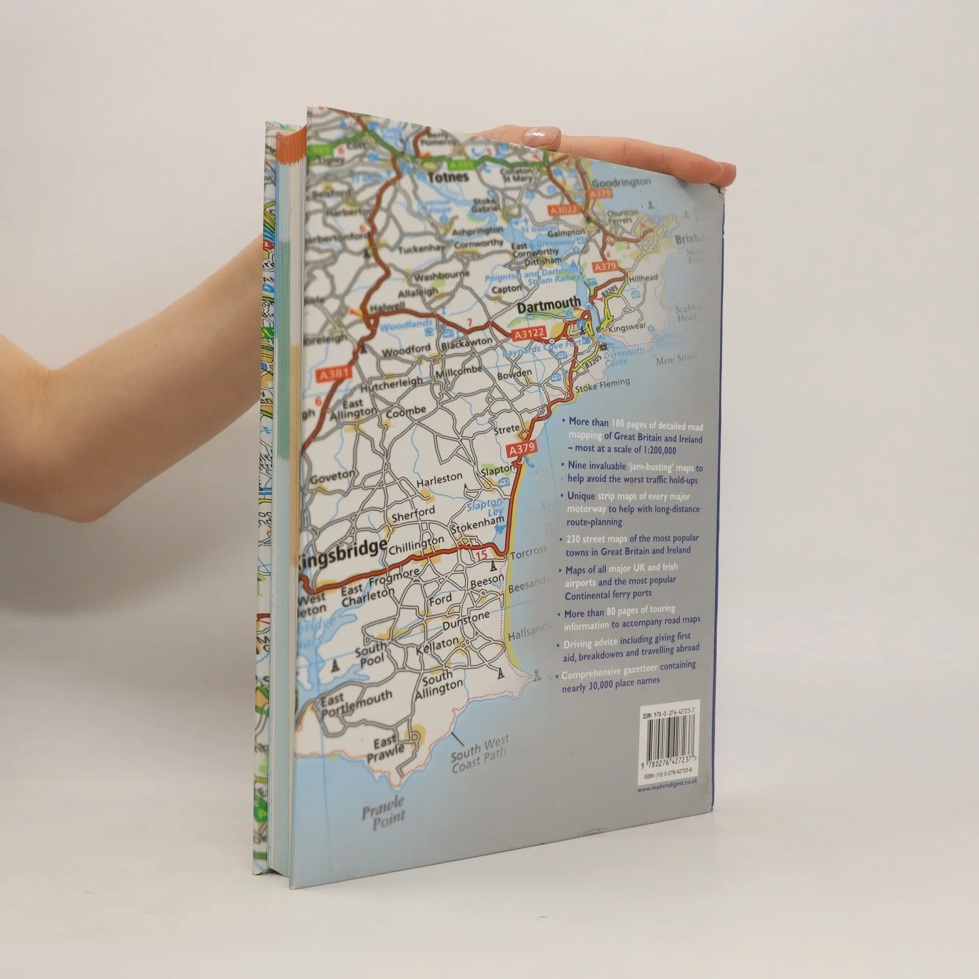
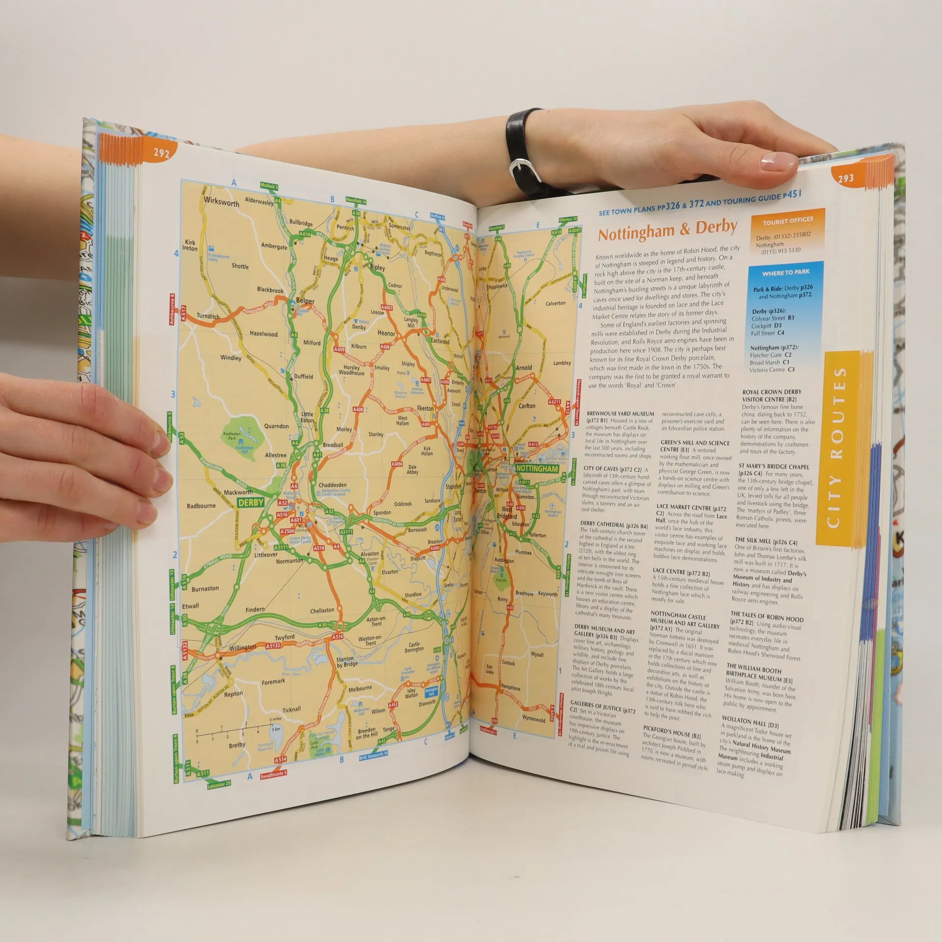
This atlas covers all of Britain and Ireland with the area around Calais and Boulogne as well. It shows motorways, primary routes, A-roads, B-roads, lanes and backroads. There are also plans of cities, towns (with park and ride schemes), airports, ferry ports, and extra-large-scale city route finders.
Book purchase
The complete driver's atlas of Britain and Ireland, Various authors
- Language

- Released
- 2007
- product-detail.submit-box.info.binding
- (Hardcover)
We’ll email you as soon as we track it down.
Payment methods
We’re missing your review here.
- Title
- The complete driver's atlas of Britain and Ireland
- Language
- English
- Authors
- Various authors
- Publisher
- Reader's Digest
- Released
- 2007
- Format
- Hardcover
- Pages
- 568
- ISBN10
- 0276427238
- ISBN13
- 9780276427237
- Series
- Rating
- 4.35 out of 5
- Description
- This atlas covers all of Britain and Ireland with the area around Calais and Boulogne as well. It shows motorways, primary routes, A-roads, B-roads, lanes and backroads. There are also plans of cities, towns (with park and ride schemes), airports, ferry ports, and extra-large-scale city route finders.