
Sold out
More about the book
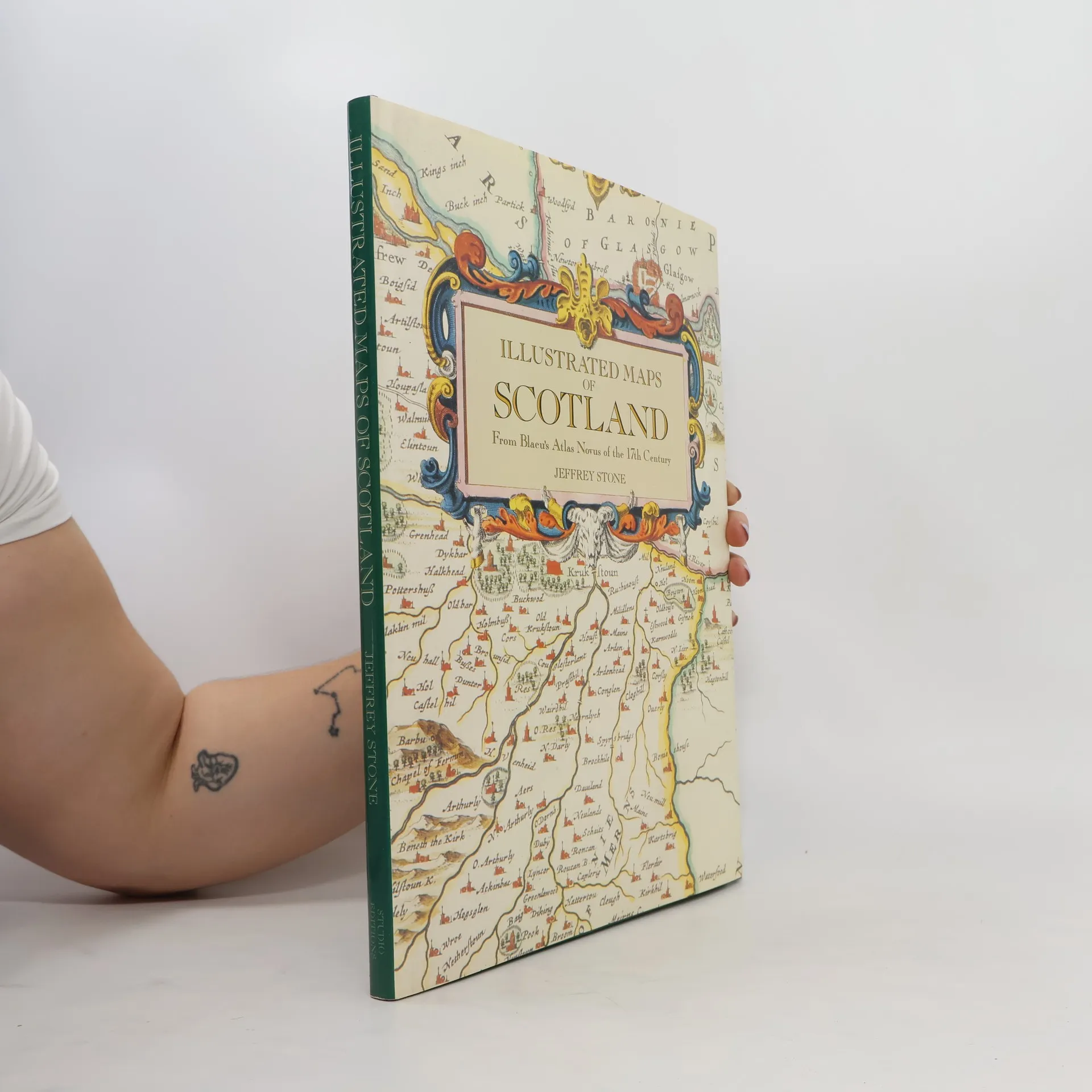
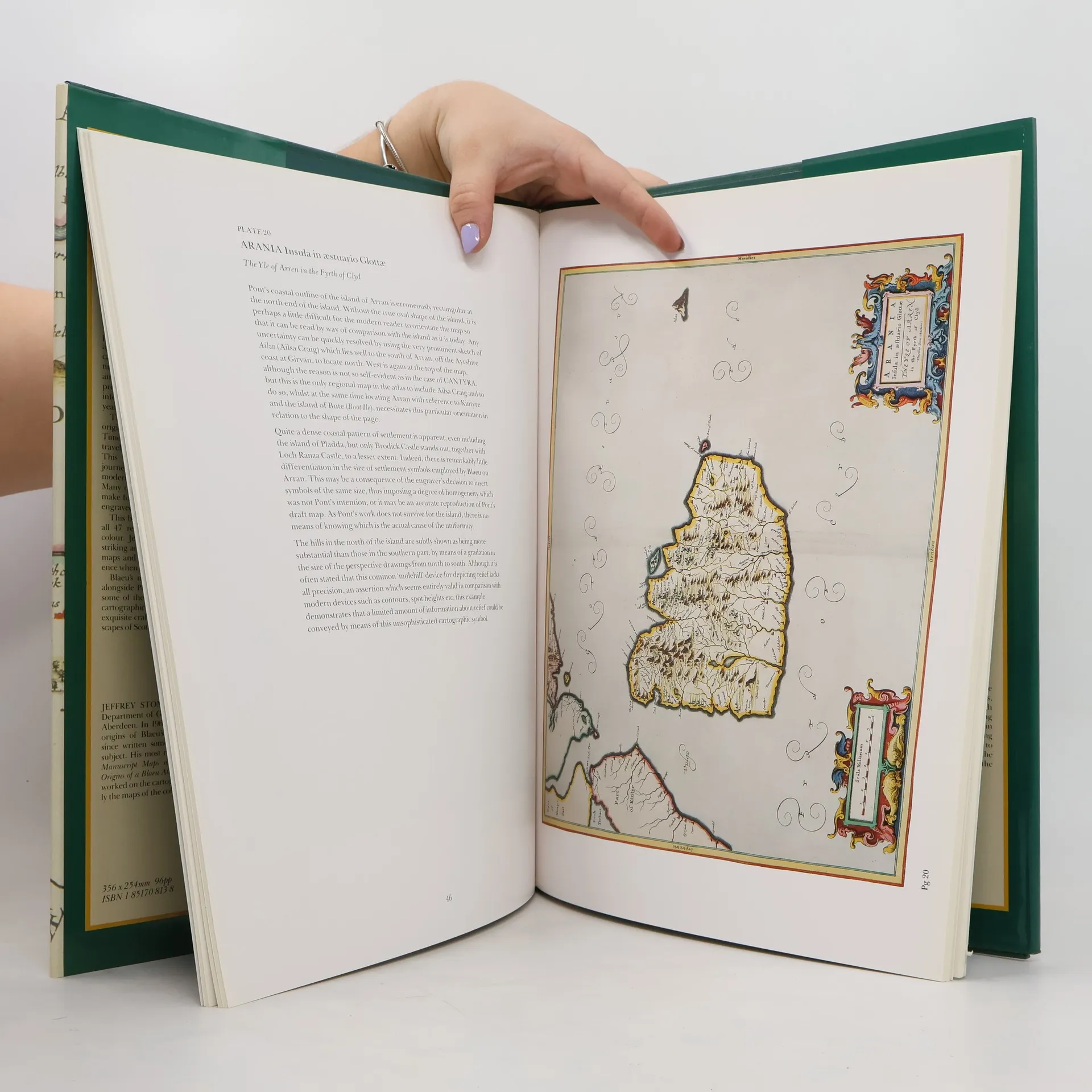
Bound in the publisher's original green cloth over boards, spine stamped in gilt. With frontis and 46 full color plates and illustrations throughout.
Book purchase
Illustrated Maps of Scotland, Jeffrey Stone
- Language

- Released
- 1991
- product-detail.submit-box.info.binding
- (Hardcover)
We’ll email you as soon as we track it down.
Payment methods
We’re missing your review here.