
Sold out
More about the book
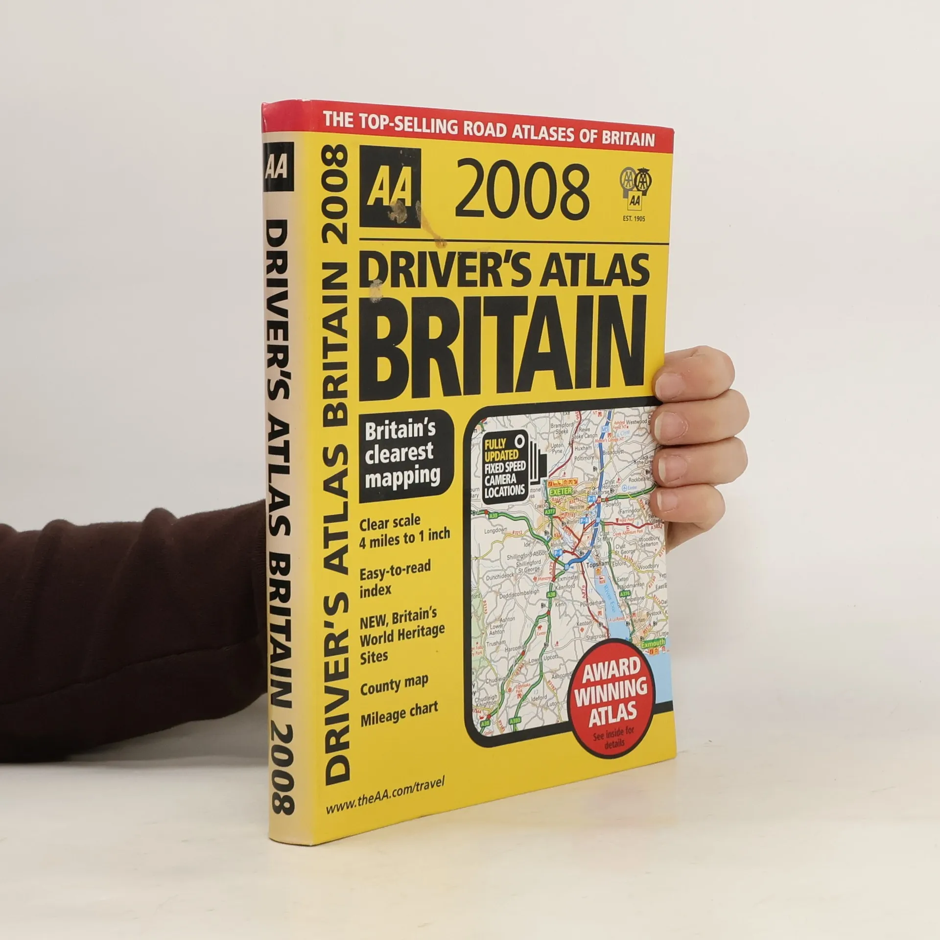
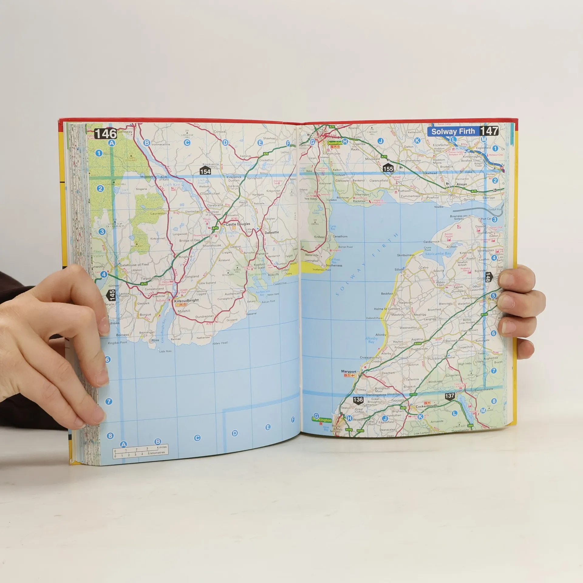
This handy, glovebox sized road atlas, combines large scale mapping with an easy-tocarry A5 format. Each page has been titled with its geographical location so you can turn to the page you need more easily. Static speed camera locations are pinpointed on the mapping. Plus, there is a full colour county, unitary and administrative area map, easy-to-use mileage chart and clear easy-toread index with more than 23,000 place names including airports, top tourist sites and motorway services listed. Wide minor roads and A&E hospitals are also shown. Road maps are to the scale of 1:250,000.
Book purchase
Driver's Atlas Britain 2008, Various authors
- Language

- Released
- 2007
- product-detail.submit-box.info.binding
- (Paperback)
We’ll email you as soon as we track it down.
Payment methods
We’re missing your review here.
- Title
- Driver's Atlas Britain 2008
- Language
- English
- Authors
- Various authors
- Publisher
- AA Publishing
- Released
- 2007
- Format
- Paperback
- Pages
- 328
- ISBN10
- 0749552638
- ISBN13
- 9780749552633
- Series
- Rating
- 3 out of 5
- Description
- This handy, glovebox sized road atlas, combines large scale mapping with an easy-tocarry A5 format. Each page has been titled with its geographical location so you can turn to the page you need more easily. Static speed camera locations are pinpointed on the mapping. Plus, there is a full colour county, unitary and administrative area map, easy-to-use mileage chart and clear easy-toread index with more than 23,000 place names including airports, top tourist sites and motorway services listed. Wide minor roads and A&E hospitals are also shown. Road maps are to the scale of 1:250,000.