
You'll get the exact copy in the photo
Parameters
More about the book
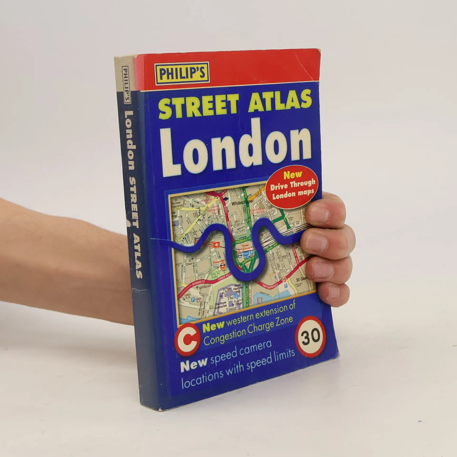
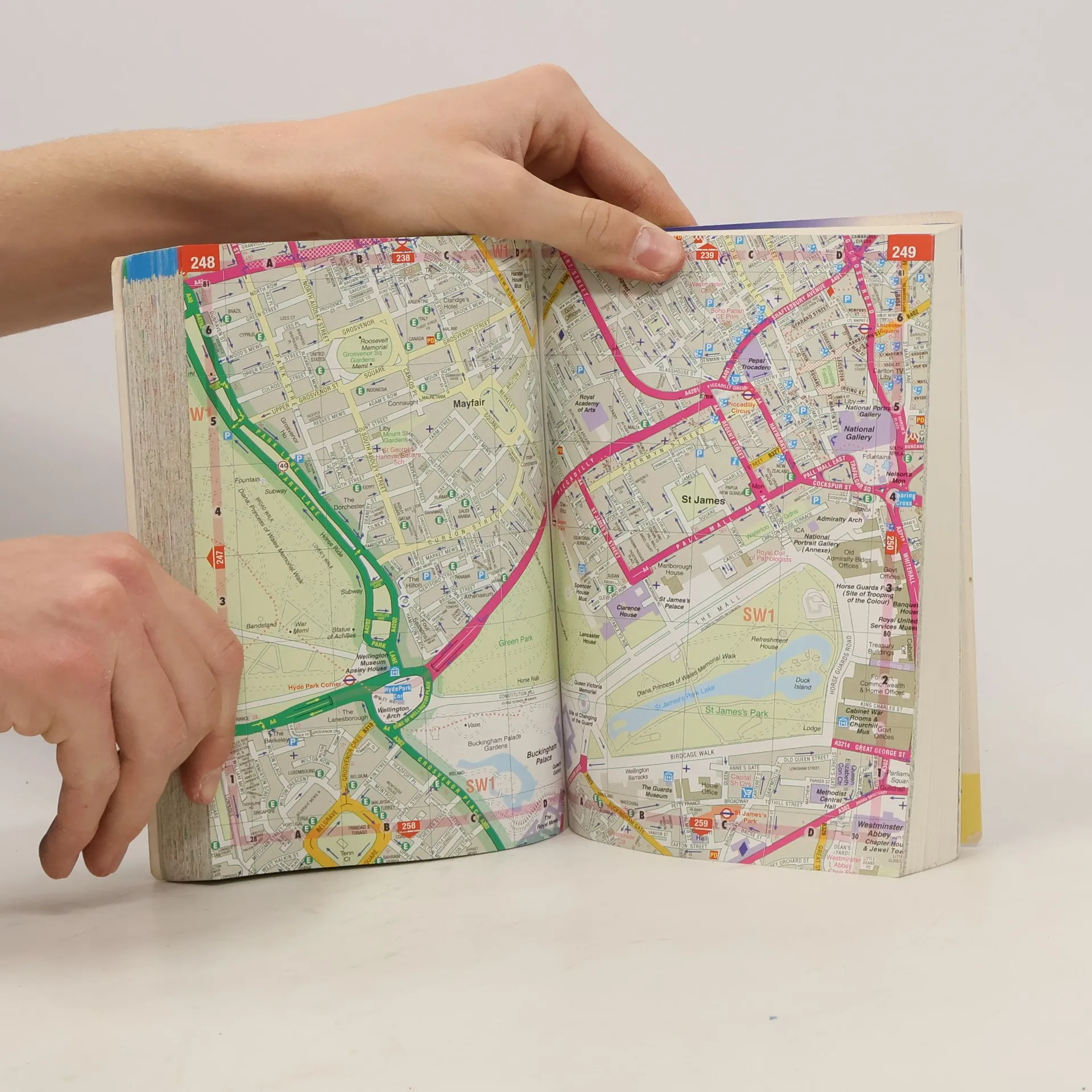
Gives comprehensive coverage of London. This atlas includes maps of central London, 18-page route planner, and the street maps. It also contains comprehensive index lists street names and postcodes, and schools, hospitals, railway stations, shopping centres and other features. It is suitable for both drivers and pedestrians.
Book purchase
London Street Atlas, George Philip & Son
- Language

- Released
- 2007
- product-detail.submit-box.info.binding
- (Paperback),
- Book condition
- Good
- Price
- €4.39
Payment methods
No one has rated yet.