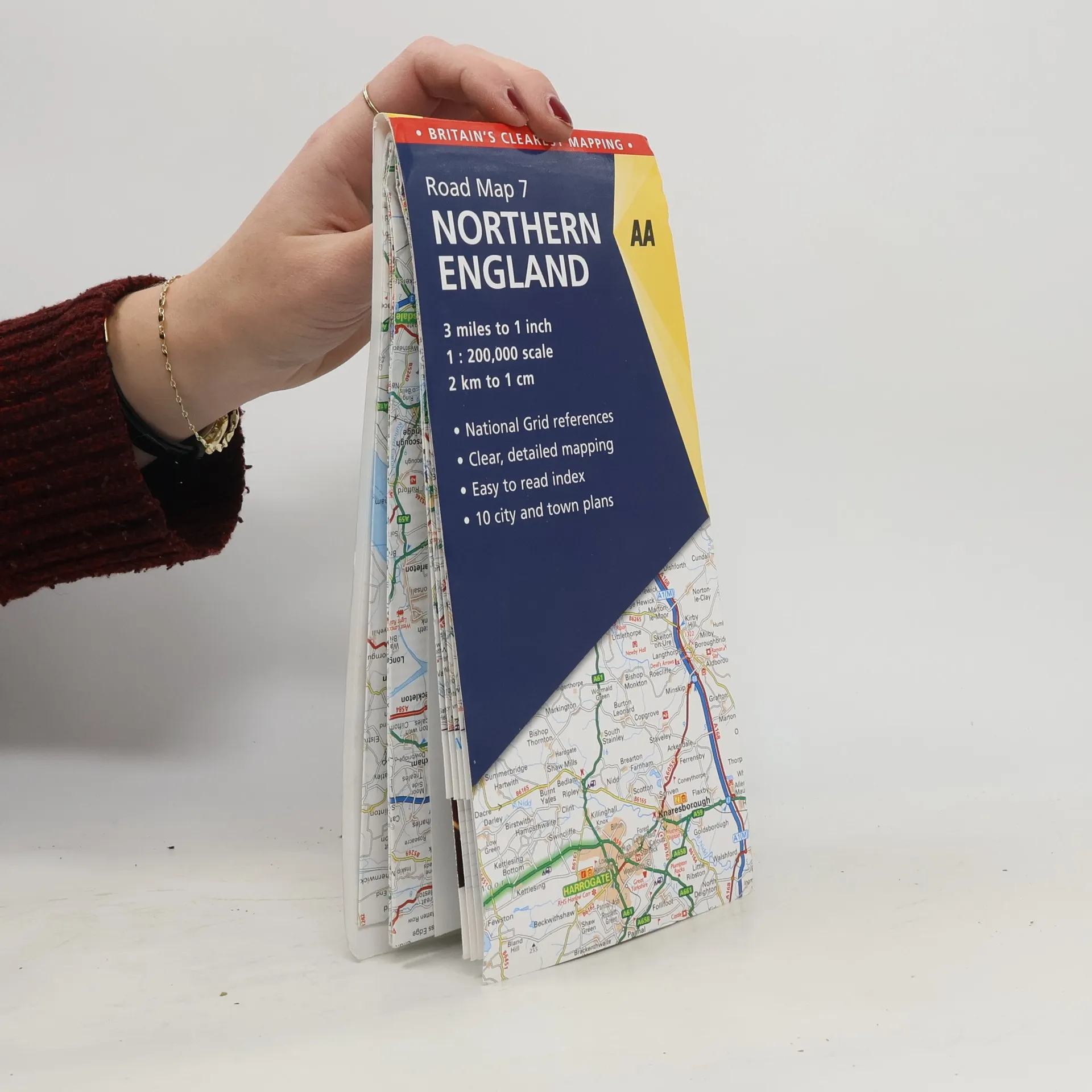
Northern England Road Map
3 Miles to 1 Inch, 1 : 200,000 Scale, 2 Km to 1 Cm - National Grid References, Clear, Detailed Mapping, Easy to Read Index, 10 City and Town Plans


3 Miles to 1 Inch, 1 : 200,000 Scale, 2 Km to 1 Cm - National Grid References, Clear, Detailed Mapping, Easy to Read Index, 10 City and Town Plans
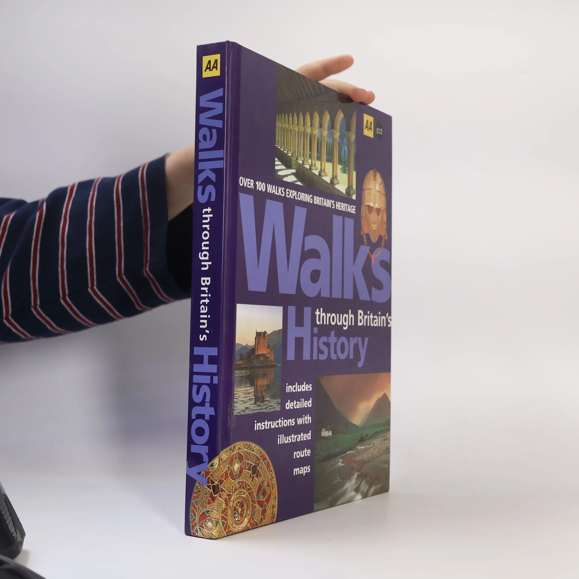
Step back in time with this book containing over 100 walks, each with an historical theme. Each walk, ranging from between three and eight miles, focuses on a particular feature, person or event in history.
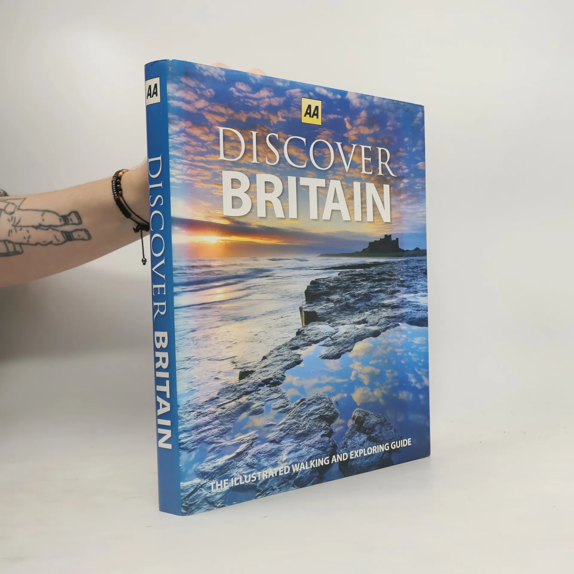
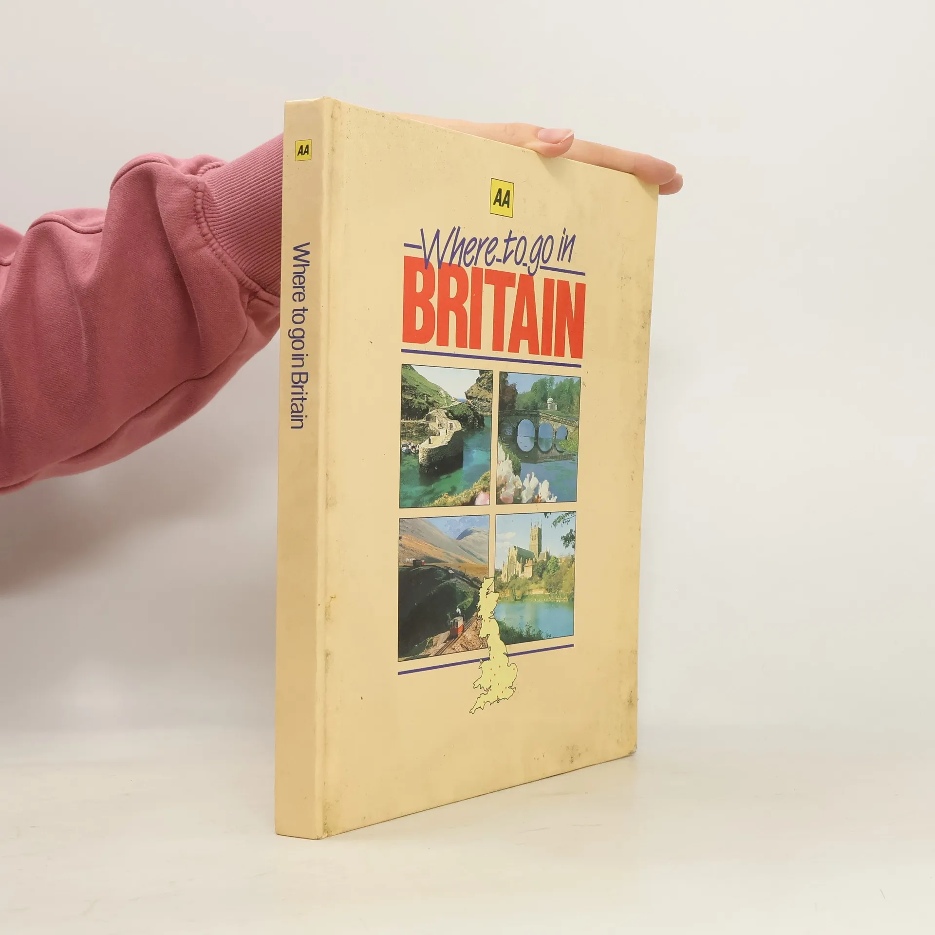
Fully revised, this second edition contains a wealth of travel information about Britain With more people choosing to vacation in and discover Britain, this beautiful book is the perfect guide to exploring the fantastic island. Authoritative text is combined with superb imagery and more than 90 walks compiled by regional experts. Each of the six regions—the West Country, Southern England, The Heart of England, Wales and the Borders, Northern England, and Scotland—contains clear mapping for easy navigation. Travelers can also explore further through detailed descriptions of regional towns and cities as well as feature spreads that highlight the best of what Britain has to offer. There's no better way to discover Britain.
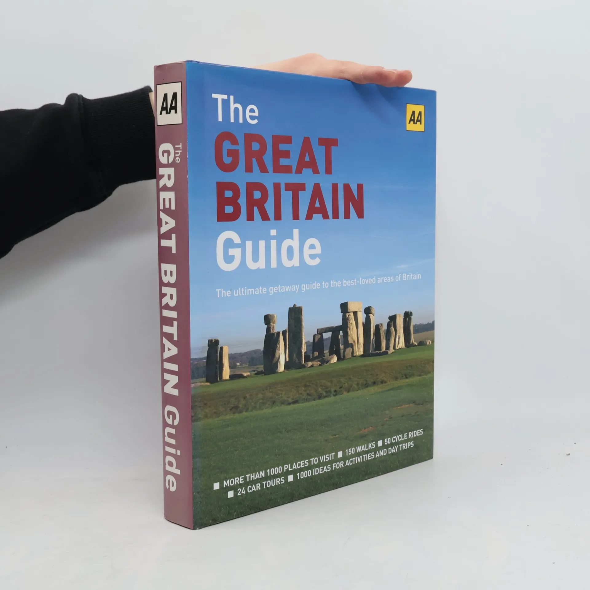
The Ultimate Getaway Guide to the Best-Loved Areas of Britain
From national parks to mountain ranges to the heritage coastline, explore the best-loved and most popular parts of Britain with this getaway guide. More than 1,000 places to visit are covered, including 150 walks, 50 cycle rides, 24 car tours, and hundreds of other exciting activities and locations. Clear and simple road atlas maps as well as regional maps make arriving at every location a snap, and hundreds of photographs are included to show specific areas in detail. Presented in a unique ring binder format that allows applicable pages to be removed and taken on any trip, this is an all-inclusive resource to finding where to go, what to see, and what not to miss in Britain.
Four new picture books showing the best of the Brecon Beacons, Britain's Coast, The Chilterns and National Parks. With carefully chosen images of the highest quality, the books provide an evocative and appealing picture to these beautifully picturesque and interesting regions, celebrating the culture, people and architecture along the way.
This fantastic new series of cycling guides for some of the best loved areas in Britain takes cyclists along quiet country lanes and designated cycle routes and, wherever possible, avoids congested roads. Filled with 25 family-friendly cycle routes, full-color photographs, and easy-to-follow directions, these guides are ideal for riders of all ages and abilities. Background reading on each route, what to visit nearby, and a detailed entry on a pub on or near the route allow travelers to experience each area's true charm.
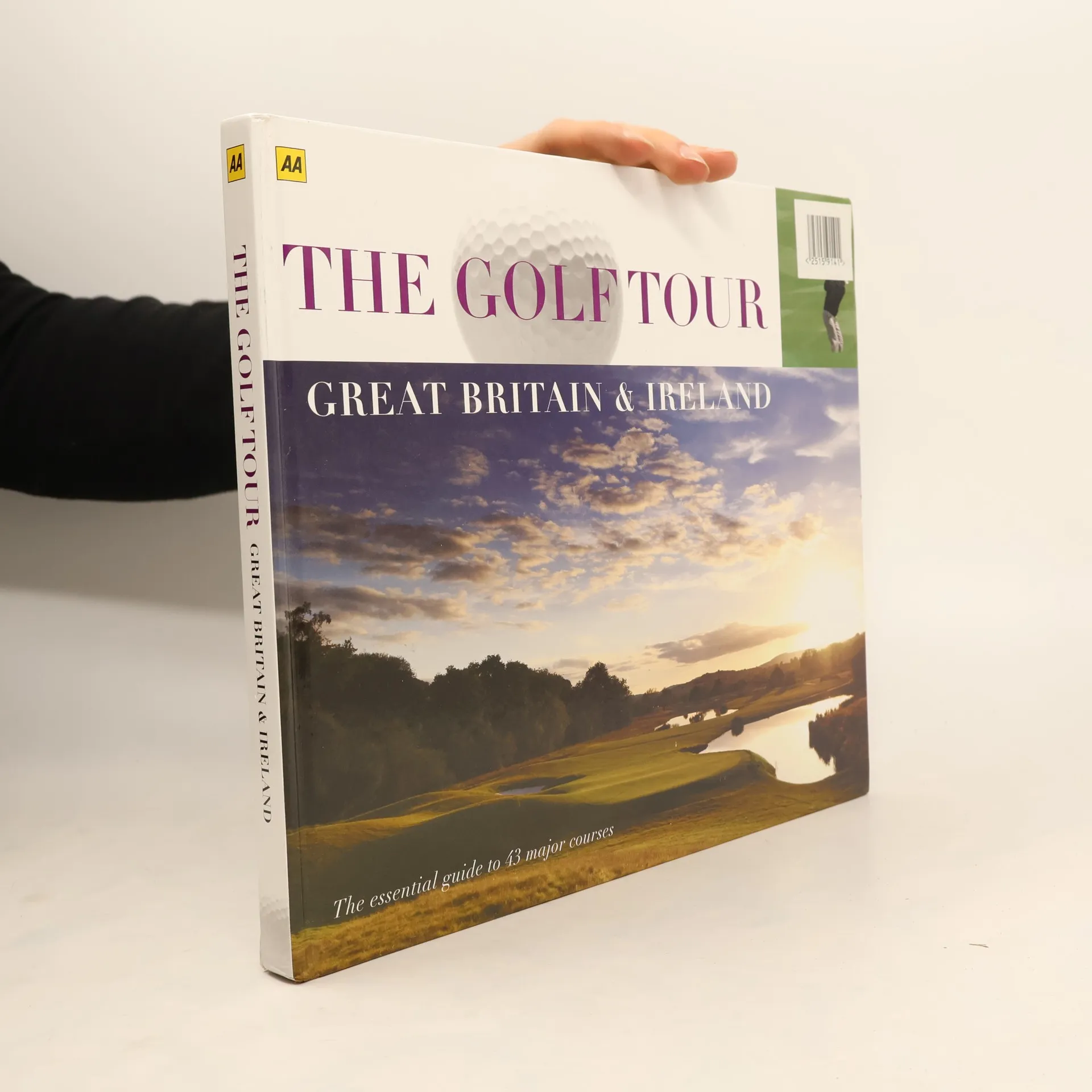
Great Britain & Ireland-The Essential Guide to 43 Major Courses
Golf has long fascinated people around the world from the intriguing early history of the game to the latest televised nail-biting climax of a major championship. The Golf Tour takes you on a journey through gentle rolling countryside in southern England acorss the length & breadth of the country with its ever0changing landscape, to the wild & rugged coast & mountains of Wales, Scotland & Ireland, seeking out exceptional courses each with their own special challenge, an individuality that continues to make the game as addictive as it is. More than 250 stunning photographs of the top courses, course key dates, detailed illustrations of each hole, hole by hole scorecard information, golf club contact information.
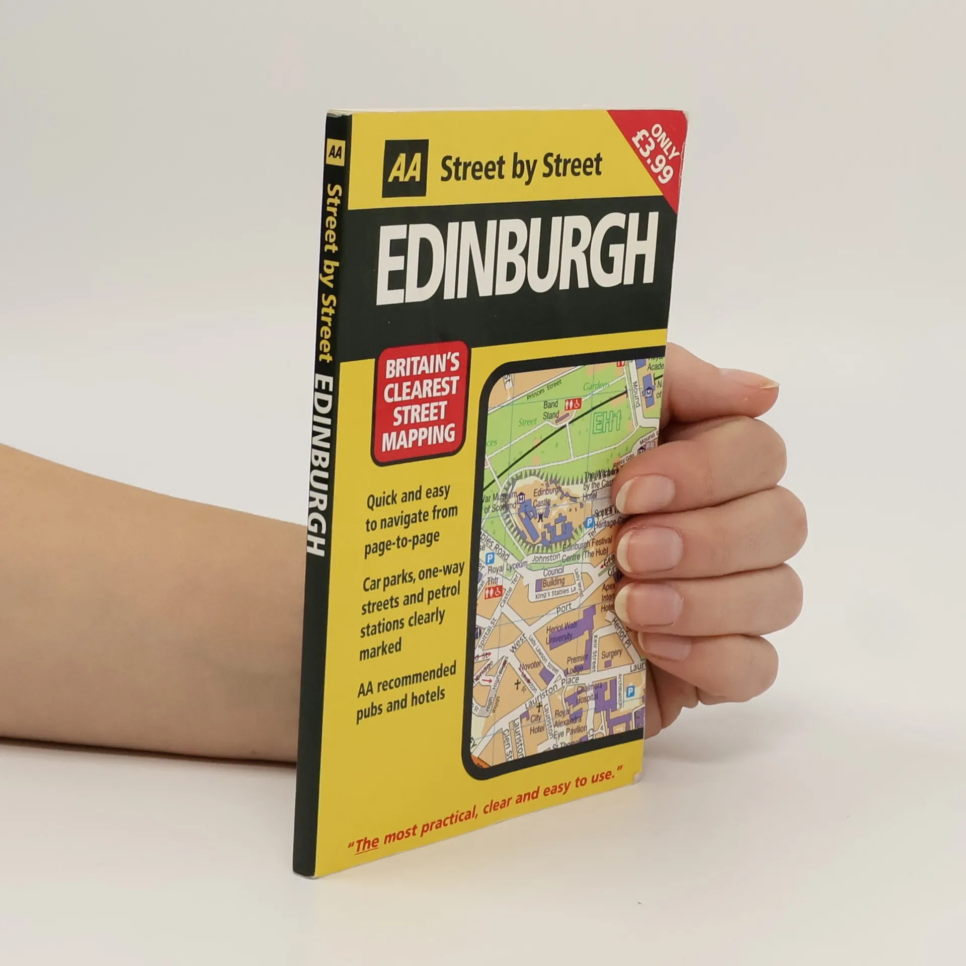
This fully-updated map clearly labels AA-recommended restaurants, pubs, and hotels, as well as one-way streets, parking garages, and 24-hour gas stations. With a color scheme designed for easy reading by street light, this is the ultimate motorist’s guide.
Enjoy the best of Britain's beautiful countryside with this popular guidebook designed for both casual and experienced walkers, including easy-to-follow maps and directions, helpful tips, and color photos throughout.
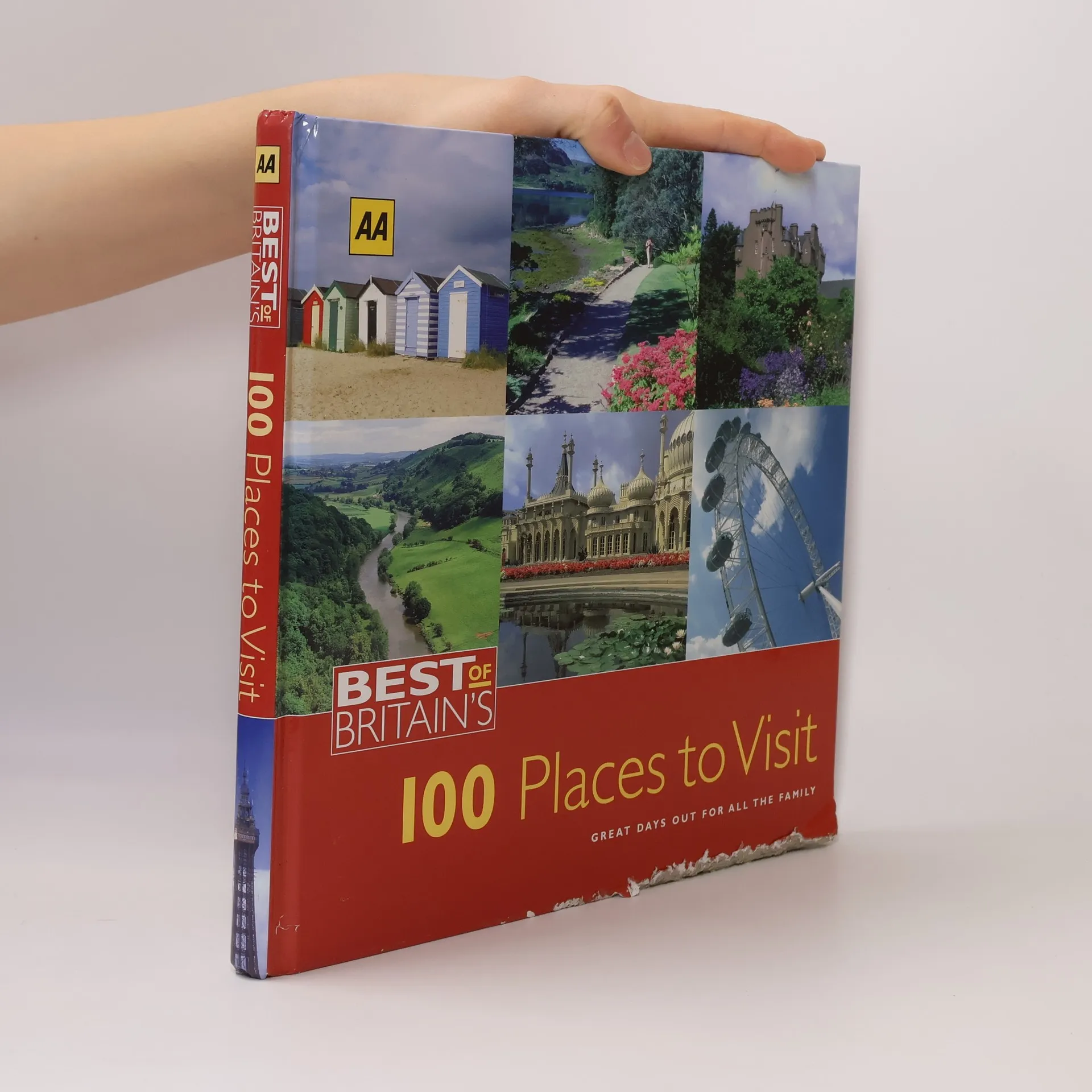
In this handy travel series, AA’s experts have selected 100 of the top places to visit in Britain so that you can enjoy the finest of British culture and natural beauty. Packed with local knowledge and complete with detailed descriptions, color photos, and visitors’ information, these easy-to-use guides are first-class travel companions.
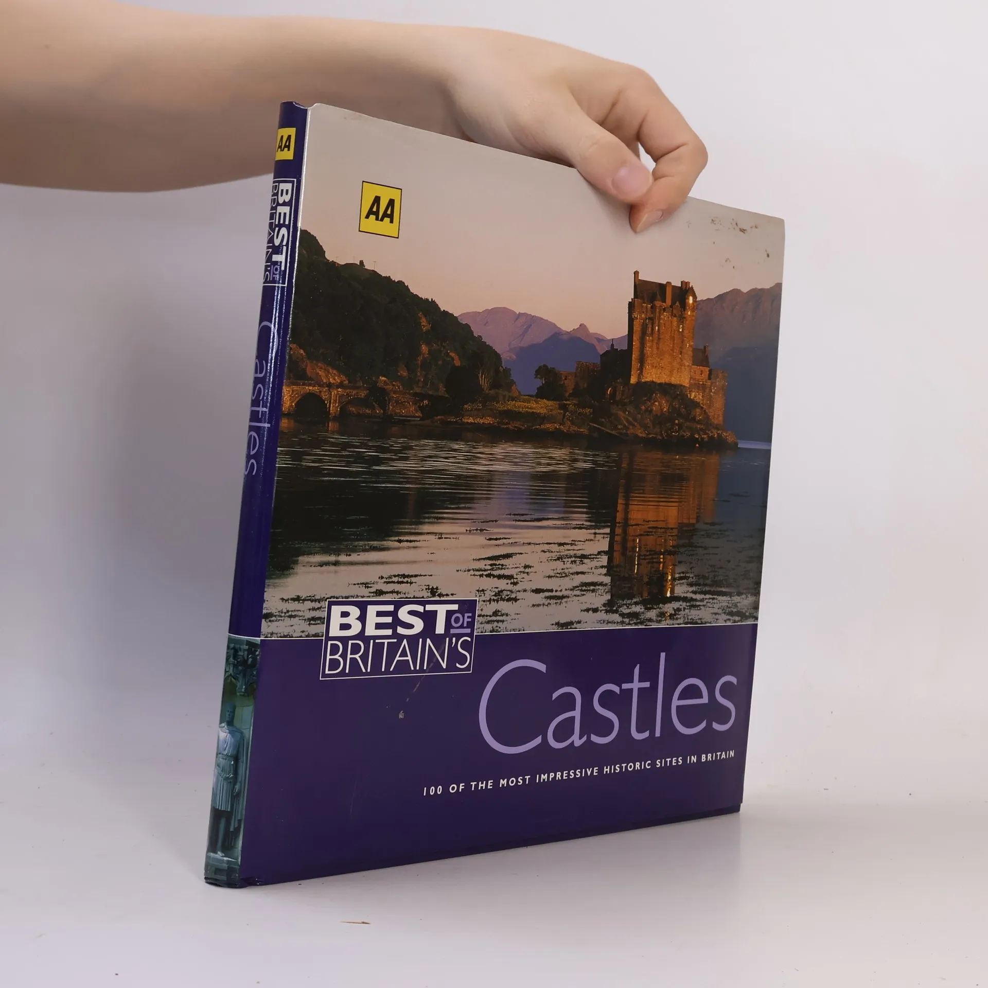
100 of the Most Impressive Historic Sites in Britain
In this handy travel series, AA’s experts have selected 100 of the top places to visit in Britain so that you can enjoy the finest of British culture and natural beauty. Packed with local knowledge, and complete with detailed descriptions, color photos, and visitors’ information, these easy-to-use guides are first-class travel companions.
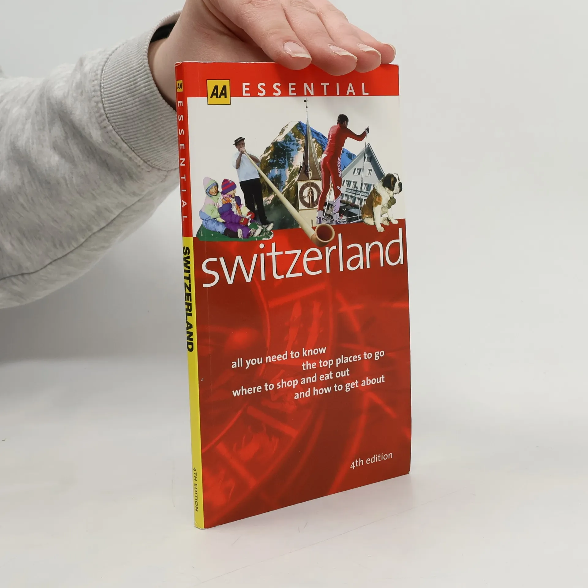
All You Need to Know the Top Places to Go Where to Shop and Eat Out and How to Get About - 4th Edition
AA Essential Switzerland 2/e is organized around several main groupings: first, "Practical Matters" - quick reference travel information presented in an easy-to-use format; "Viewing" - information on what see in this land of contrasts, from flora and fauna to folklore, history and food; "What to See" - alphabetical listings of places to visit, with star ratings, map references and practical information; "Features" - special sections featuring, for example, winter sports, glaciers, railways and scenic journeys; "Where to" - detailed listings of the best places to eat, drink, stay, shop and be entertained.
A concise guide to the best of Britain's rich and varied heritage. Arranged alphabetically by county, the guide features more than 2000 places of interest and an index of attractions and place names - each cross-referenced to the 16pp road atlas.
A guide to Britain's heritage which covers castles, stately homes, gardens, galleries, museums and steam railways.
An illustrated reference book exploring the wildlife, habitats, flora and fauna of the British countryside. Included are over 1000 colour photographs, nearly 800 illustrations and some 70 maps.
This is the perfect companion for exploring the hidden, tranquil corners that form the rural heart of France. This guide provides thirty-three car tours of the little-known and out-of-the-way places to see throughout France's gorgeous countryside. The country's most stunning and historic villages are presented with special features on aspects of French life including cuisine, architecture, and natural history. Carefully researched, the detailed maps and thorough descriptions offer delightful journeys to France's hidden treasures. Replete with color photographs, this guide is immensely practical while capturing the splendor of "secret" France.
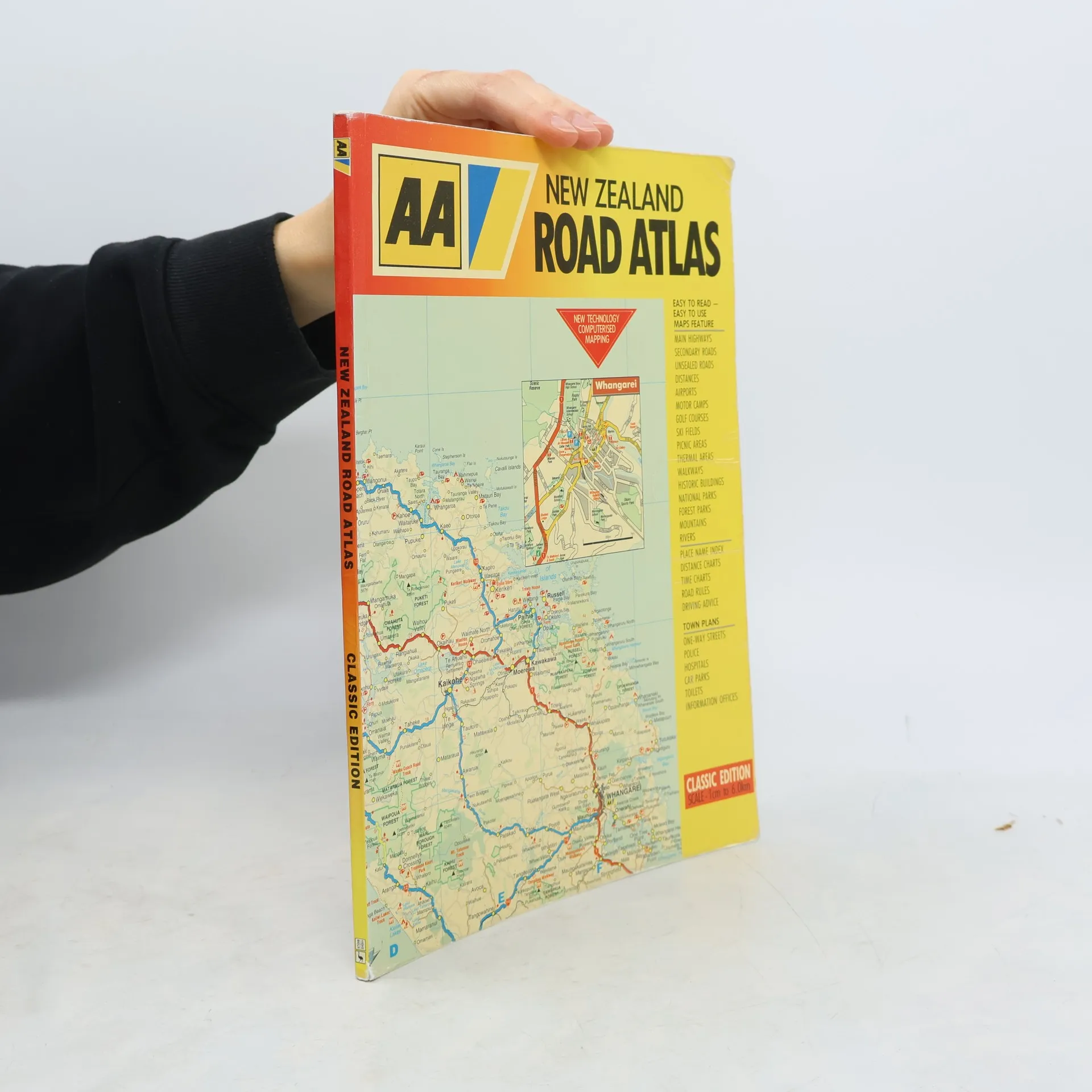
A road atlas of New Zealand which includes 22 town plans, basic road rules, road signs, distance charts and an index of place-names. The maps incorporate features such as historic buildings, picnic areas, ski fields, thermal areas, heights of terrain, exotic forest and native bush.
A Pictorial Journey Through History
Road Atlas Illustrated Motor Tours Town Plans - Completely Updated and Revised Edition
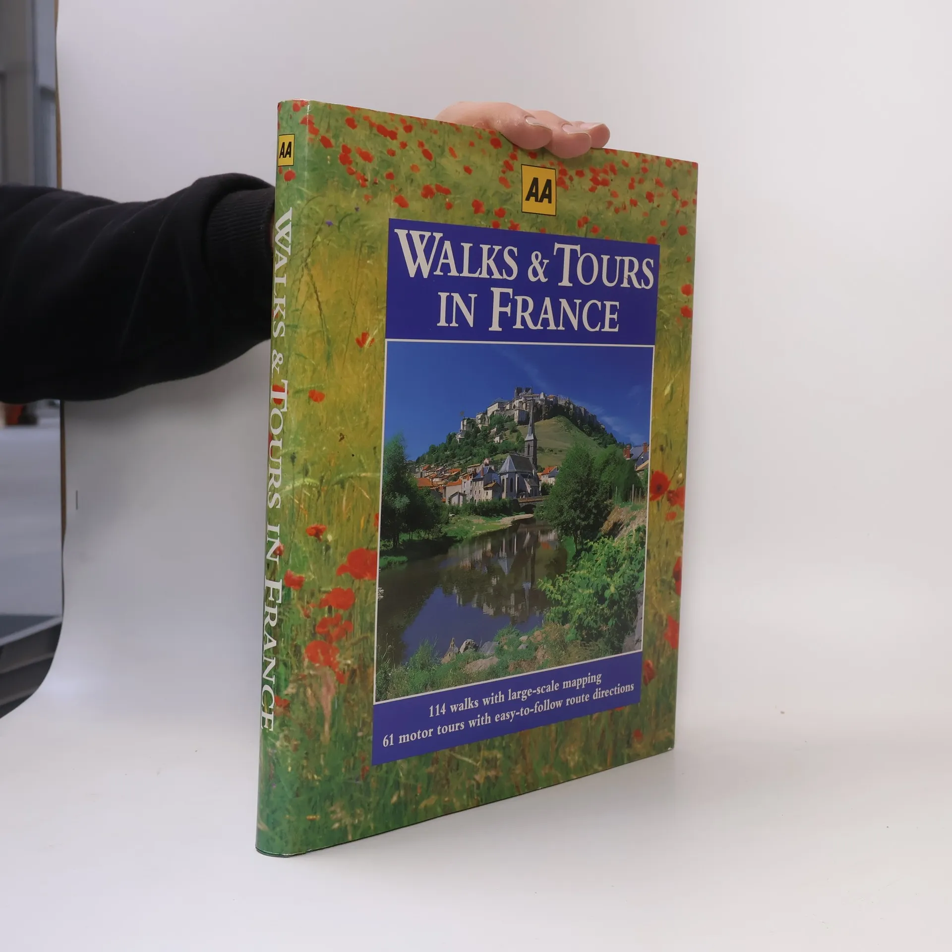
114 Walks with Large-Scale Mapping - 61 Motor Tours with Easy-to-Follow Route Directions
Sixty-one motor tours with easy-to-follow route directions; 114 walks with large-scale mapping. With its wonderfully diverse scenery, culture, cuisine, and architecture, France offers something for every traveler. In this book, walks and tours are integrated within each of the sixteen regions; superb maps, route directions, highlighted points of interest, and beautiful color photographs make both planning and touring a breeze.
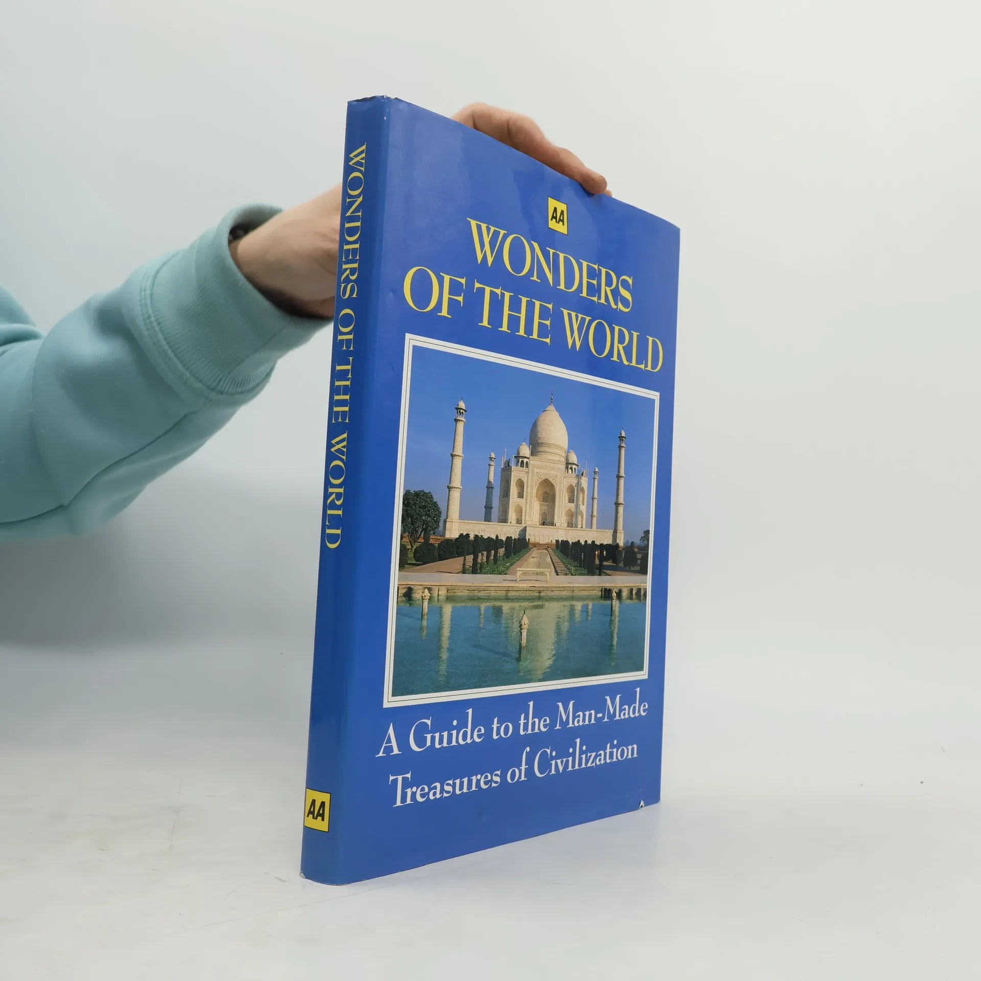
Every feature and structure in this book is a cause of wonder. Even in a time of mass and instantaneous communication, when images of the globe's most remote reaches can be transmitted to every sitting room, the facts of human ingenuity and skills, and the extremes of the natural world, can still astonish.
an illustrated guide to more than 500 selected locations in Britain's unspoiled countryside
Visions of London takes a look at one of the world's most renowned capitals. The photographs reveal a city full of tradition and history, and show its more familiar sights--the hustle and bustle of busy shops and market streets, excitement in its famous thoroughfares, the splendour of its architecture, as well as serene moments in parks and gardens.
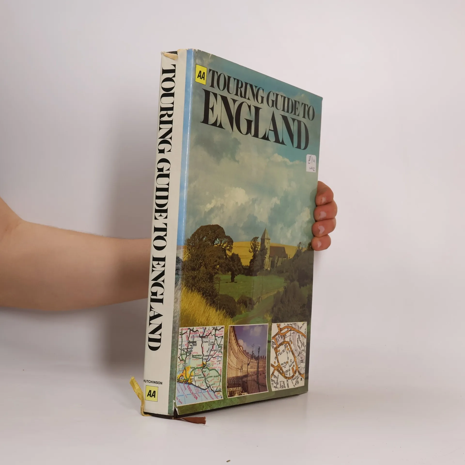
The Complete Touring Guide
Book by Automobile Association (Great Britain)
This fully comprehensive guide to everything the visitor will want to know when coming to Britain consists of an extensive and illustrated introduction, and a detailed A-Z gazetteer. All the main towns and villages of Britain, as well as many places 'off the beaten track' are described in the gazetteer, with full colour photographs and town plans. Of particular interest to the motorist are the suggested tours through the lovely lush countryside of such areas as Shakespeare's Country, the Cheviot Hills or Dartmoor. Special feature articles highlight areas of outstanding natural beauty such as the Lake District and The Yorkshire Dales, as well as features on such well known personalities as Sir Walter Scott, George Washington, Bonnie Prince Charlie and Flora MacDonald. This well researched, highly illustrated guide will prove a fascinating read as well as an invaluable aid to anyone interested in finding out more about the famous and not-so-famous places of Britain.
An insight into the world of curious bizarre and little known Britain, the unexplored and unexplained.
Book by AUTOMOBILE ASSOCIATION
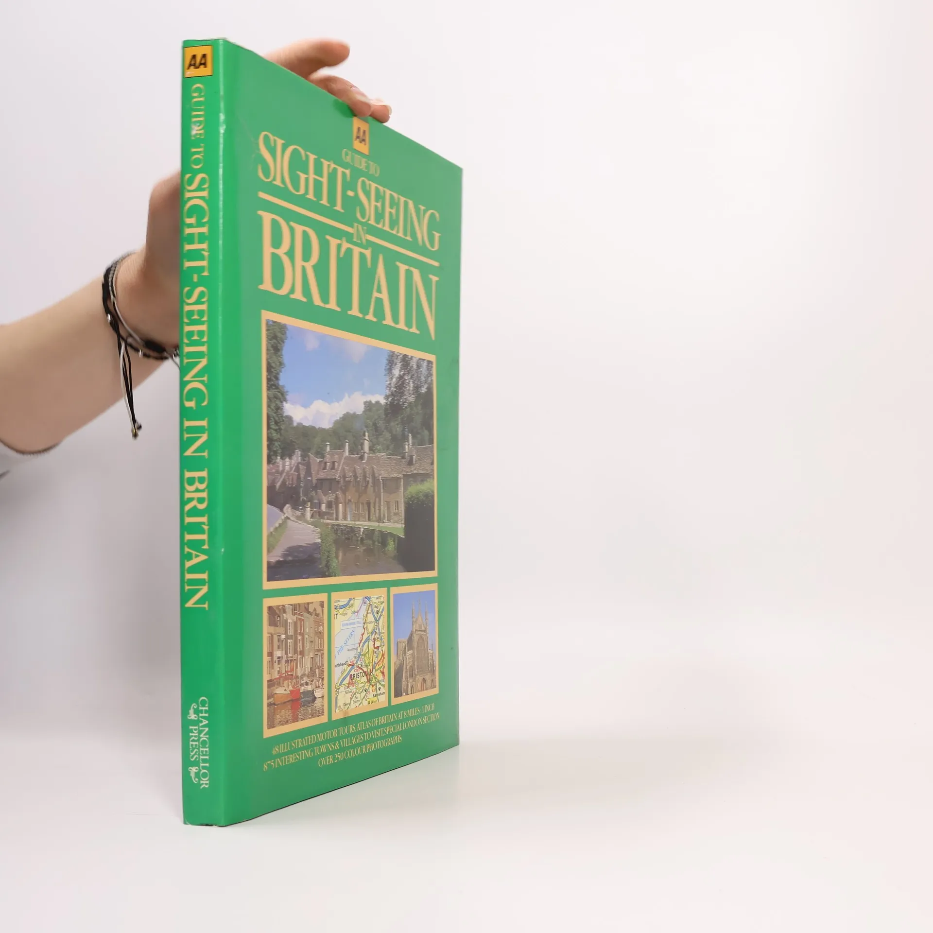
48 Illustrated Motor Tours. Atlas of Britain at 8 Miles: 1 Inch. 875 Interesting Towns & Villages to Visit. Special London Section. Over 250 Colour Photographs
Britain is a diverse and picturesque country, inviting exploration through this comprehensive guide. Utilizing maps, color photographs, and descriptive text, the book is organized into six main sections: The West Country, Southern England, Central England, Wales, Northern England, and Scotland, each color-coded on key maps. A separate section highlights London, detailing its most fascinating attractions. Each regional section begins with a road atlas at a scale of 1:500,000, illustrating major and minor roads. Following the atlas are eight expertly researched motor tours, each designed to be completed in a day. Each tour features a dedicated map, along with detailed route directions and descriptions of points of interest, using 'SP' for 'signposted' in directions. An alphabetical gazetteer follows the tours, providing brief descriptions of key towns and villages, with reference numbers linking to the road atlas for easy location. Most castles, stately homes, gardens, and attractions mentioned are open to the public at specific times, making this guide an invaluable resource for discovering the rich history and beauty of Britain.
Book by P. T. C. Phototype Composing Ltd, P. T.
Lists over four hundred of the most popular attractions in England, Scotland, and Wales, and includes detailed street maps of each area.
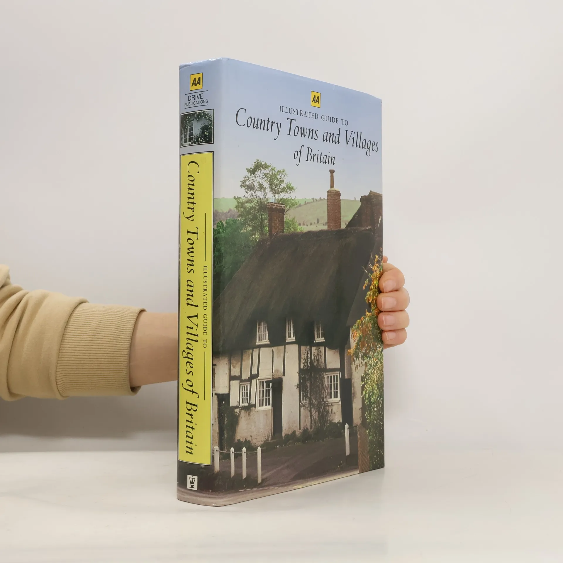
An A to Z gazetteer of British Villages.
Physical description; 307 pages. Notes; Col. map on lining papers. Subjects; Automobile travel - Ireland - Guidebooks. Automobile travel - Northern Ireland - Guidebooks. Ireland - Description and travel - Guide-books. Ireland - Guidebooks. Northern Ireland - Tours. Ireland - Tours. Ireland - Guidebooks - For motoring. Ireland - For motoring.
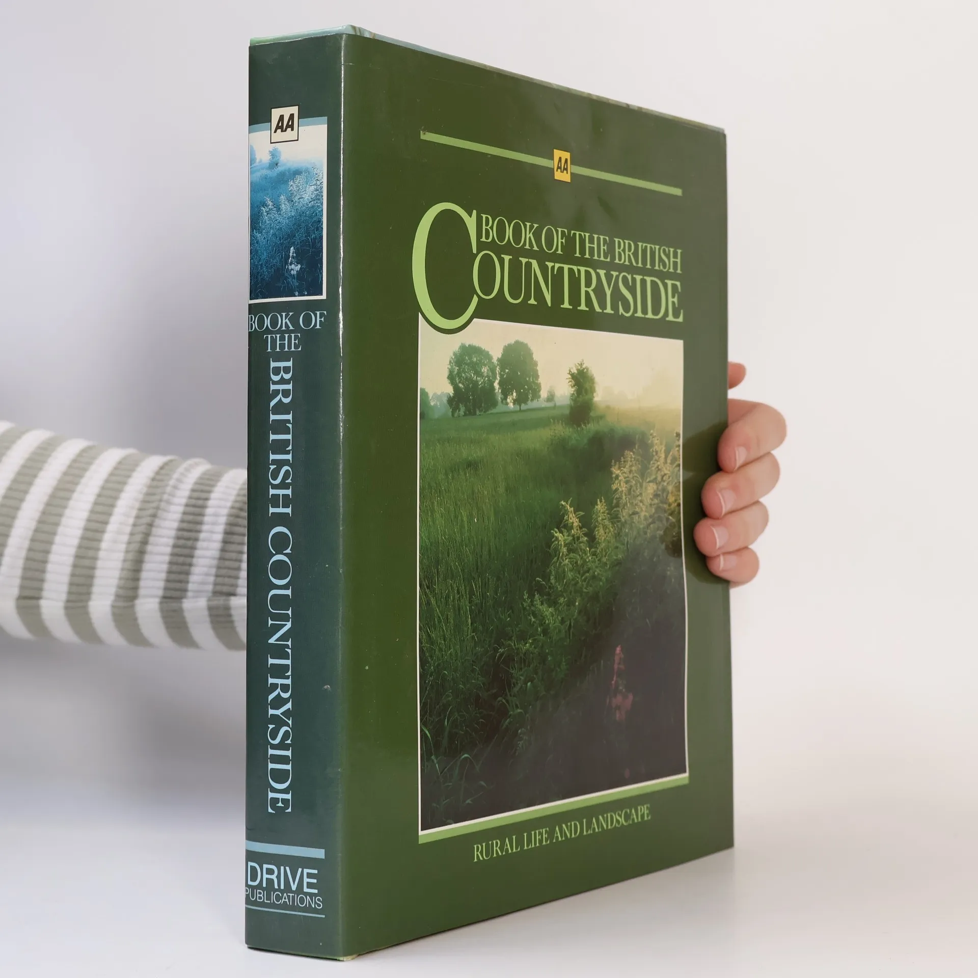
AA Book of the British Countryside Automobile Association