
This up-to-date detailed A-Z street map includes more than 2,000 streets in and around Portsmouth. As well as ferry routes from Portsmouth Harbour, other areas covered include Southsea, Fratton, Milton Common, Hilsea and Cosham.
Heron Maps Book order (chronological)

Birmingham A-Z Street Atlas
- 296 pages
- 11 hours of reading
Navigate your way around Birmingham with this detailed and easy-to-use A-Z Street Atlas. Printed in full-colour, paperback format, this atlas contains 164 pages of continuous street mapping.
Navigate your way around Norwich with detailed street maps from A-Z
South East England A-Z Road Atlas
- 72 pages
- 3 hours of reading
This A-Z map of South East England is a full colour regional road atlas featuring 46 pages of continuous road mapping extending from Banbury and Felixstowe to the south coast, and from Oxford and Southampton to Margate and Clacton-on-Sea in the east.
Navigate your way around Liverpool with detailed street maps from A-Z
Navigate your way around York with detailed street maps from A-Z
Scotland A-Z Road Atlas
- 120 pages
- 5 hours of reading
Navigate your way around Scotland with this detailed, full-colour and easy-to- use A-Z Road Atlas. From the border to the north coast, the mainland pages scale is 3.5 miles to 1 inch and the Western Isles, Shetland Islands and Orkney Islands scale is 4.5 miles to 1 inch.
Navigate your way around Exeter with detailed street maps from A-Z
Explore the whole region and area extending from Cockermouth and Penrith in the north to Ulverston and Grange-over-Sands in the south and from the M6 in the east to the coast in the west.
Navigate your way around Cardiff with detailed street maps from A-Z
Navigate your way around Blackpool with detailed street maps from A-Z.
Navigate your way around Oxford with detailed street maps from A-Z
Navigate your way around Leeds with detailed street maps from A-Z
Navigate your way around Sheffield with detailed street maps from A-Z
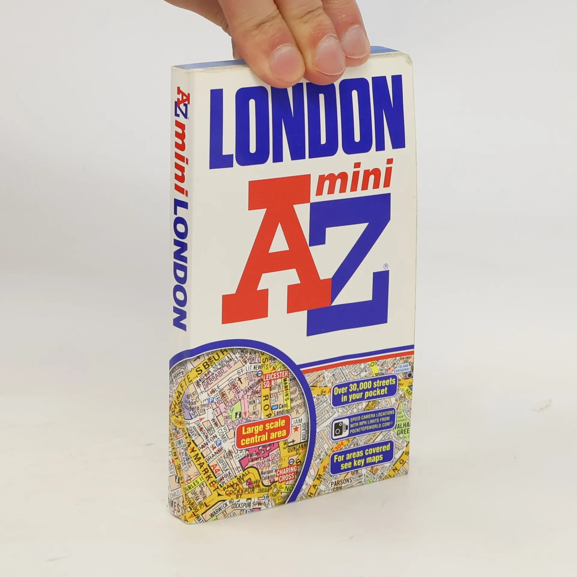
London Mini AZ
- 384 pages
- 14 hours of reading
Large scale A-Z street mapping of London. This A4 street atlas offers the perfect combination of coverage and clarity, the area covered ranges from Heathrow Airport all the way to Chingford at a scale of 4.25 inches to 1 mile, while a detailed map of Central London is at a larger scale of 8.5 inches to 1 mile. The mapping features transport connections, places of interest, public buildings, postcode districts, one-way streets, Congestion and Low Emission Zones This comprehensive street atlas of London also includes: • An overview map of the Congestion Charging Zone • West End Theatre and Cinema maps • The London Rail Tube Services Map • London Underground map A comprehensive index lists streets, selected flats, walkways and places of interest, place, area and junction names. Additional healthcare (hospitals, walk-in centres and hospices) and transport (National Rail, London Tramlink, Docklands Light Railway, London Underground and Overground stations, and River Bus pier) are indexed as well.