Explore the
latest books
of this year!
About us
Career
Contact
Search for a book, author or category...
Sell books
Fiction
Comics & Manga
All Comics & Manga
Superhero Comics
Humorous Comics
Alternative Comics
Horror Comics
Children's Comics
Manga
Fantasy
Epic Fantasy
All Fantasy
Heroic Fantasy
Historical Fantasy
Humorous Fantasy
Urban Fantasy
Vampires
Children's Fantasy
Horror
All Horror
Cosmic Horror
Gothic Horror
Supernatural Horror
Horror Short Stories
Horror Comics
Mystery & Thriller
All Mystery & Thriller
Historical Mystery
Detective Fiction
Thriller
Psychological Thrillers
Nordic Noir
Spy Novels
Cozy Crime
Romance
All Romance
Contemporary Romance
Historical Romance
Romantic Comedy
Romantic Suspense
LGBTQ+ Romance
Romantasy
Sci-Fi
All Sci-Fi
Hard Sci-Fi
Humorous Sci-Fi
Space Opera
Dystopia
Post-apocalyptic
Steampunk
Cyberpunk
Young Adult
All Young Adult
Young Adult Fantasy
Young Adult Romance
Romantasy
Other
Classics
Folklore & Mythology
Historical Fiction
Literary Fiction
Poetry
Non-Fiction
Art & Culture
Architecture & Urbanism
Art History & Criticism
Design
Fashion
Film
Music
Painting & Sculpture
Photography
Theatre & Dance
Business & Management
Economics
Finance & Accounting
Investing & Speculating
Management & HR
Marketing & Sales
Hobby
Antiques & Collectibles
Crafts
Fishing
Gardening & Landscaping
Home & Decor
Hunting
Needlecrafts & Textile Crafts
Pets & Animal Care
Video Games
Maps & Travel
Geography & Topography
Maps & Atlases
Travelogues
Travel Guides
Medicine
All Medicine
Alternative Medicine
Health & Fitness
Science & Math
Astronomy
Biology
Chemistry
Ecology
Geology & Mineralogy
History & Theory of Science
Mathematics
Physics
Self-Help
Entrepreneurship
Interpersonal Relationships
Meditation
Parenting
Partnerships
Personal Growth
Social Sciences
Anthropology
Languages
Literary Studies
Law
Pedagogy
Philosophy
Political Science & Politics
Psychology
Sociology
Technology & Engineering
Agricultural Sciences
Cars & Transportation
Computers & Internet
Construction & Structural Engineering
Electronics & Electrical Engineering
Military
Other
Cookbooks, Food & Drinks
Fitness & Training
Nutrition & Diets
Sport & Outdoor
Textbooks
Children's Books
Younger Children
Activities, Crafts & Games
Board Books
Coloring Books
Songs & Nursery Rhymes
First Reading
Picture Books
Older Children
Children's Comics
Children's Fantasy
Children's Mystery
Fairy Tales
Juvenile Nonfiction
Middle Grade
True Stories
True Stories
Biographies
Interviews
History
Narrative Journalism
Opinion Journalism & Essays
Travelogues
True Crime
Unexplained Mysteries
Religion & Spirituality
Religion
Christianity
Buddhism
Hinduism
Islam
Judaism
Taoism
New Age
Astrology
Divination
Dream Interpretation
Spiritual Development
Spiritualism & Witchcraft
All books
Charles Wood
Charles Wood
Books
Author's work
Book order (chronological)
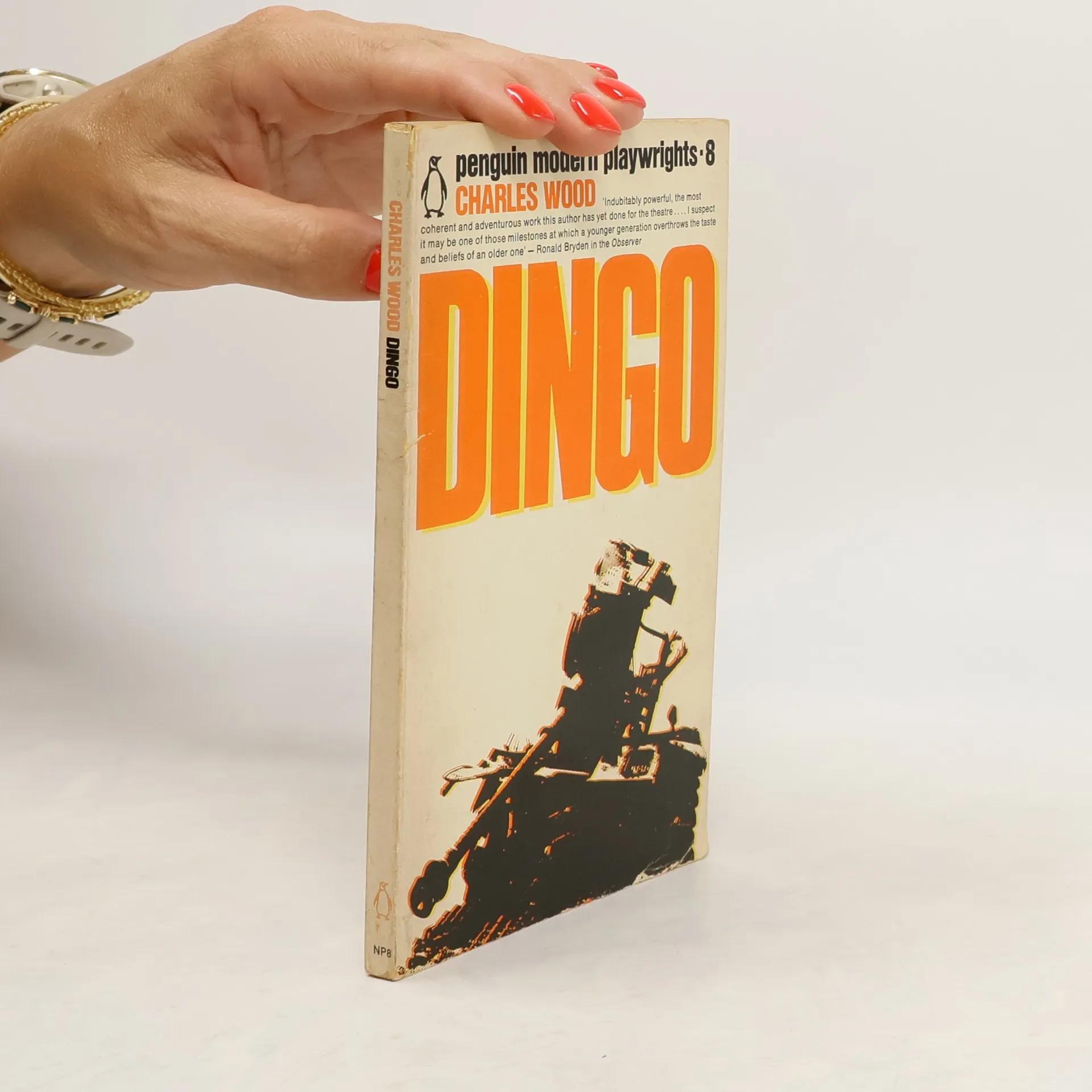
Dingo
Track
New English Dramatists 11
Track
New English dramatists, vol. 8
Track
Wie zeichne ich Porträts
Track