Explore the latest books of this year!
Bookbot

AA Publishing

    British Wildlife Photography Awards
    AA Best Drives Scotland
    50 Walks in Derbyshire
    Big Easy Read Britain 2022
    British Wildlife Photography Awards: Collection 3
    British Wildlife Photography Awards: Collection 6
    • This superb collection of imagery showcases the very best of the British Wildlife Photography Awards, an annual competition celebrating the breathtaking diversity of the natural history of the British Isles.

      British Wildlife Photography Awards: Collection 6
      5.0
    • This superb collection of imagery showcases the very best of the British Wildlife Photography Awards, an annual competition celebrating the breathtaking diversity of the natural history of the British Isles. The photographs within the book demonstrate an extraordinary range of viewpoints and differing approaches.

      British Wildlife Photography Awards: Collection 3
      4.7
    • Big Easy Read Britain 2022

      • 208 pages
      • 8 hours of reading

      This A3 format atlas provides giant scale mapping and type throughout. It is available in two binding styles, softback and spiral bound. Each page has been titled with its geographical location so you can turn to the page you need more easily.

      Big Easy Read Britain 2022
      5.0
    • 50 Walks in Derbyshire

      • 176 pages
      • 7 hours of reading

      Walking is one of Britain's favourite leisure activities, and this guide to Berkshire and Buckinghamshire features 50 mapped walks from two to ten miles, to suit all abilities.

      50 Walks in Derbyshire
      4.5
    • AA Best Drives Scotland

      • 208 pages
      • 8 hours of reading

      Part of the "AA Best Drives" series, this is a practical guide for motoring in Scotland.

      AA Best Drives Scotland
      4.0
    • British Wildlife Photography Awards

      • 224 pages
      • 8 hours of reading

      Celebrating the talents of photographers of all nationalities practising in the UK and highlighting the diversity of British natural history. This superb collection of imagery showcases the very best of the British Wildlife Photography Awards.

      British Wildlife Photography Awards
      4.3
    • Walking is one of Britain's favourite leisure activities, and these guides feature a variety of mapped walks to suit all abilities. Walk details include a summary of distance, time, terrain and parking. Full-colour maps for each walk and full introduction to each walk providing information of local interest.

      50 Walks in Peak District
      4.4
    • French Phrasebook

      • 224 pages
      • 8 hours of reading

      The perfect companion for traveling abroad, this phrase book series covers the most popular European languages, containing everything you need to know in a way that's concise, accessible and easy-to-understand. These handy, pocket-sized books feature over 2,000 essential phrases, plus a 2,000 word dictionary, themed sections, pronunciation tables, word lists, grammar guides, and phonetic pronunciation in italics.

      French Phrasebook
      4.0
    • Ireland

      • 80 pages
      • 3 hours of reading

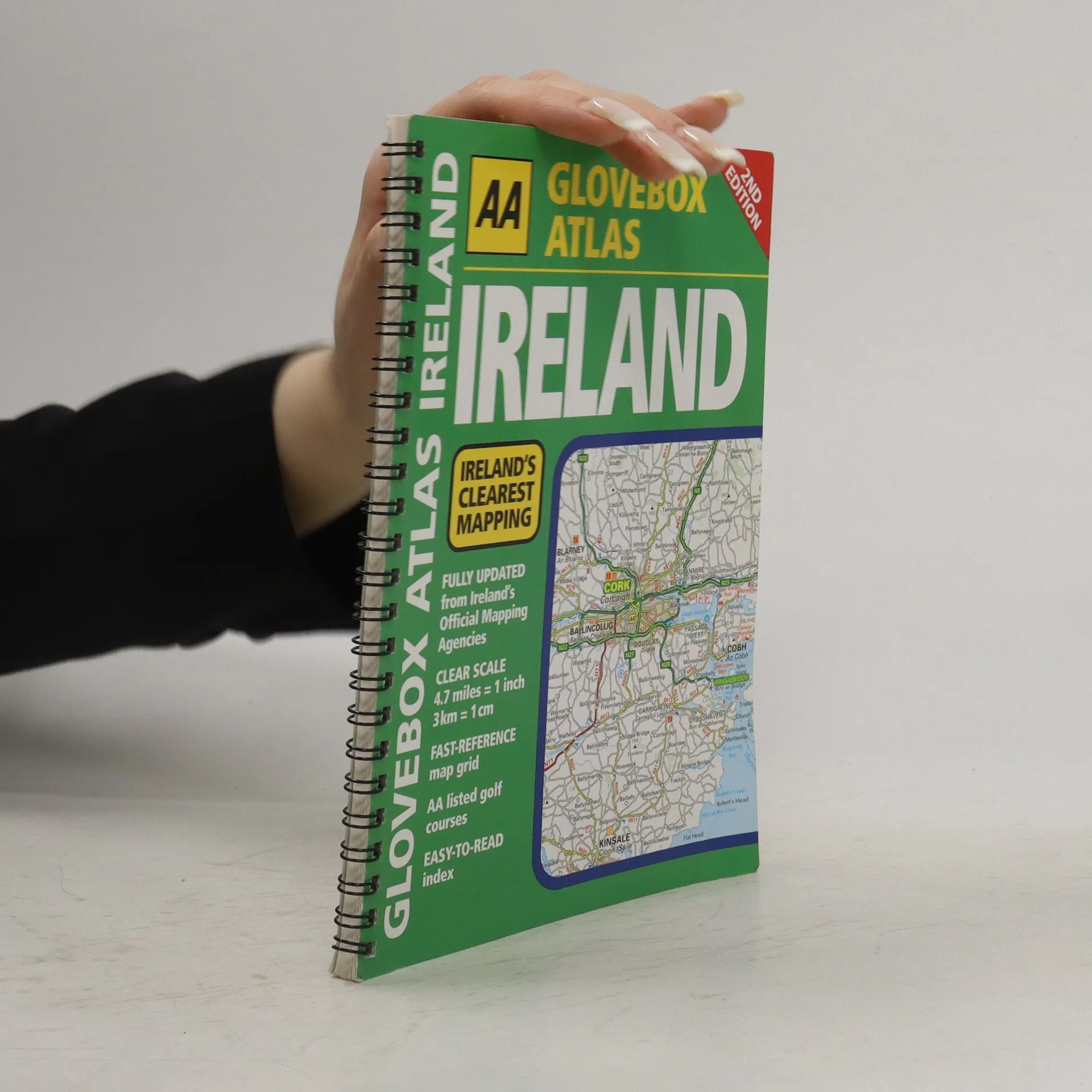
      This fully updated, handy atlas is the ideal companion for travelling in Ireland while not taking up much room in the car. There are city route maps, with toll-free motorways highlighted, as well as a route planning map and easy-to-read index.

      Ireland
      4.0
    • Impressions of Australia

      • 96 pages
      • 4 hours of reading

      Continuing in the success of the popular AA series, Impressions of Australia is a beautiful picture book to this wonderful country. With text written by local experts who know the area and carefully chosen images of the highest quality, the guide provides an evocative and appealing picture into the culture, people and architecture that make this a fantastic travel destination.

      Impressions of Australia
      4.0
    • Walking The Cumbria Way

      • 144 pages
      • 6 hours of reading

      A guidebook to the 73 mile Cumbria Way, an easy long-distance walk though the heart of the Lake District National Park, from Ulverston in the south to Carlisle in the north, with good transport links to either end. The route is largely low-level but this guide offers alternative mountain days to climb some of the famous fells en route.

      Walking The Cumbria Way
      4.1
    • Easy Read Atlas Britain 2023

      • 376 pages
      • 14 hours of reading

      A4 format revised and updated for 2023, including 6 page clear Route Planner map. Providing giant scale mapping, at 2.3 miles to 1 inch. Features include large print place names and index, top 300 AA-inspected caravan and camping sites, over 240 service areas.

      Easy Read Atlas Britain 2023
      4.0
    • Caravan and Camping Britain 2009

      • 352 pages
      • 13 hours of reading

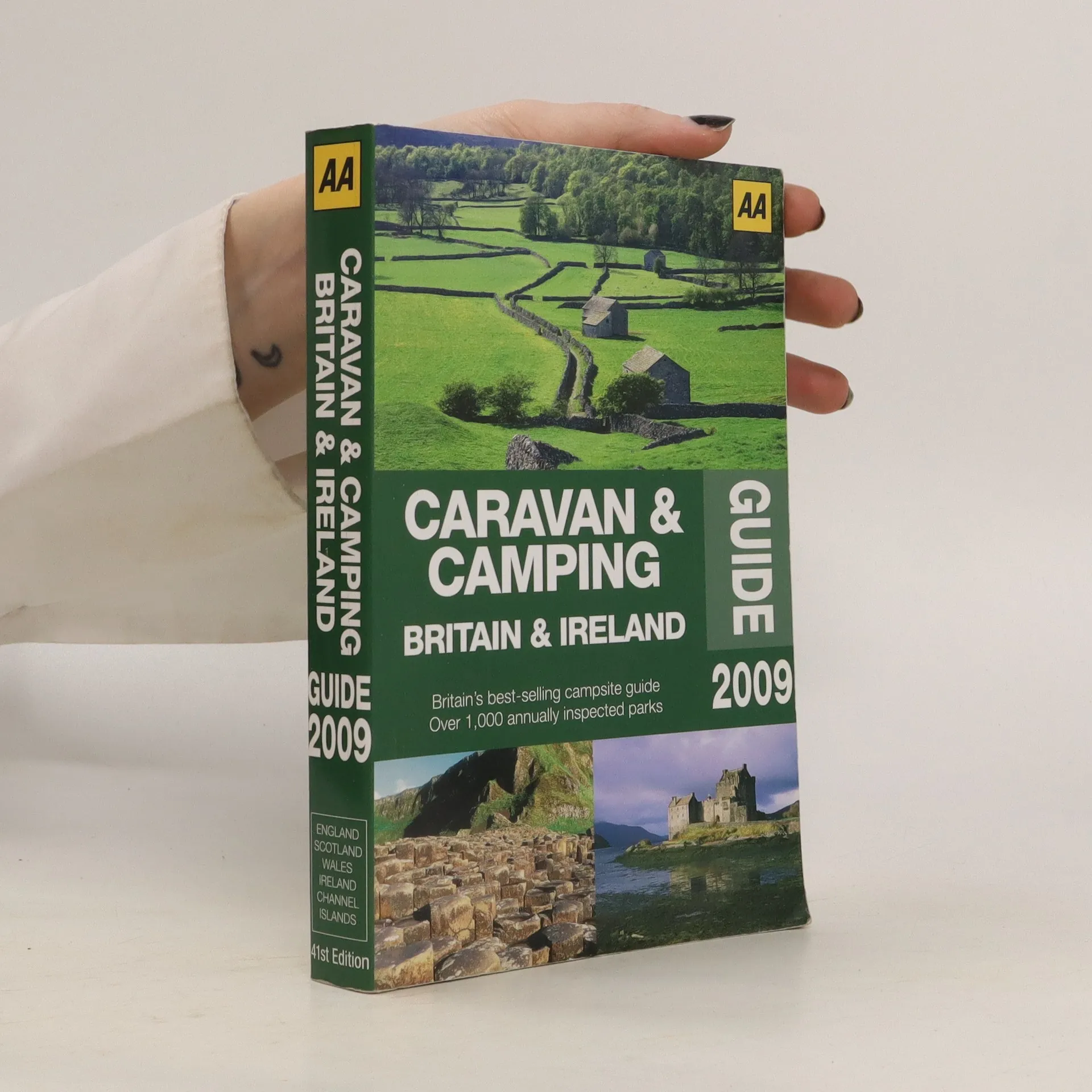
      Offering information you need to enjoy the holiday in Britain and Ireland, this guide presents over 1,000 annually inspected caravan and camping parks with each site inspected by the AA and graded with the renowned AA Pennant Scheme for quality and range of facilities.

      Caravan and Camping Britain 2009
      4.0
    • Best of Britain's Steam Railways

      Exploring Britain's Railway Heritage

      • 144 pages
      • 6 hours of reading

      This fully illustrated guide offers readers more than 40 of the very best preserved and privately owned railways all over the country, including their history and rolling stock. Readers will also find additional entries for the best-preserved stations, railway museums, and plenty of ideas for walks and cycle rides.

      Best of Britain's Steam Railways
      4.0
    • Caravan and Camping Guide 2013

      Over 900 Annually Inspected Sites Across Britain

      • 576 pages
      • 21 hours of reading

      This is a comprehensive guide to over 1000 AA inspected camping and caravanning parks throughout England, Scotland, Wales and Ireland. The best parks and holiday centres are highlighted, and a location map is provided.
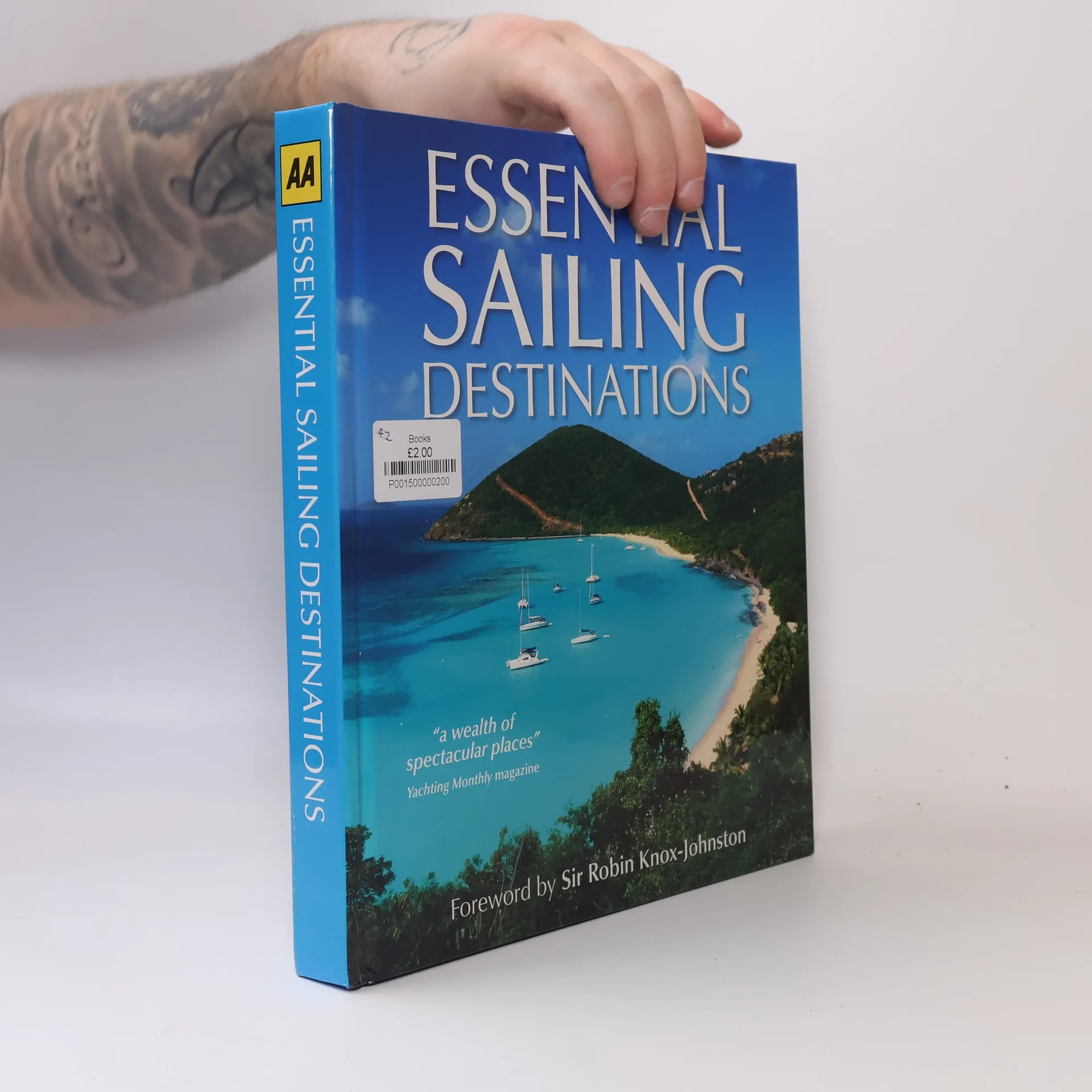
      Caravan and Camping Guide 2013
      3.0
    • AA Theory Test for Motorcyclists

      • 240 pages
      • 9 hours of reading

      All the recommended theory revision questions and answers for motorcyclists. Features include all recommended revision theory test questions licensed from the DVSA - covering the same topics as you'll get on your test . Every question explained for easy revision. Easy to test yourself - with all the answers at the back of the book.

      AA Theory Test for Motorcyclists
      3.4
    • Where to Stay and Eat in Scotland

      • 256 pages
      • 9 hours of reading

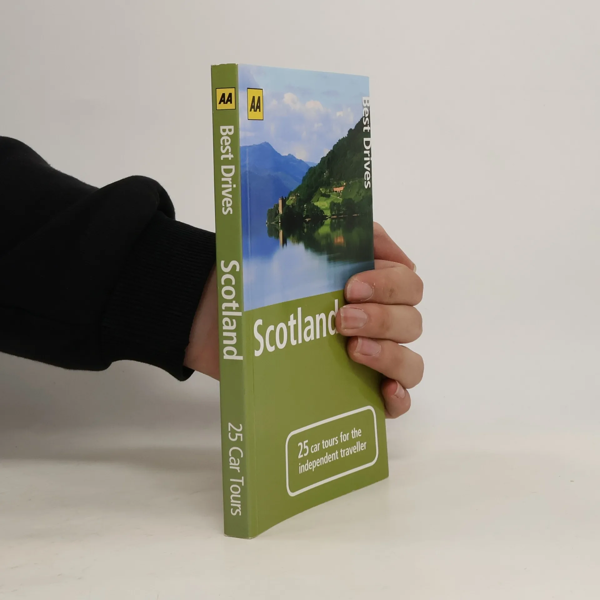
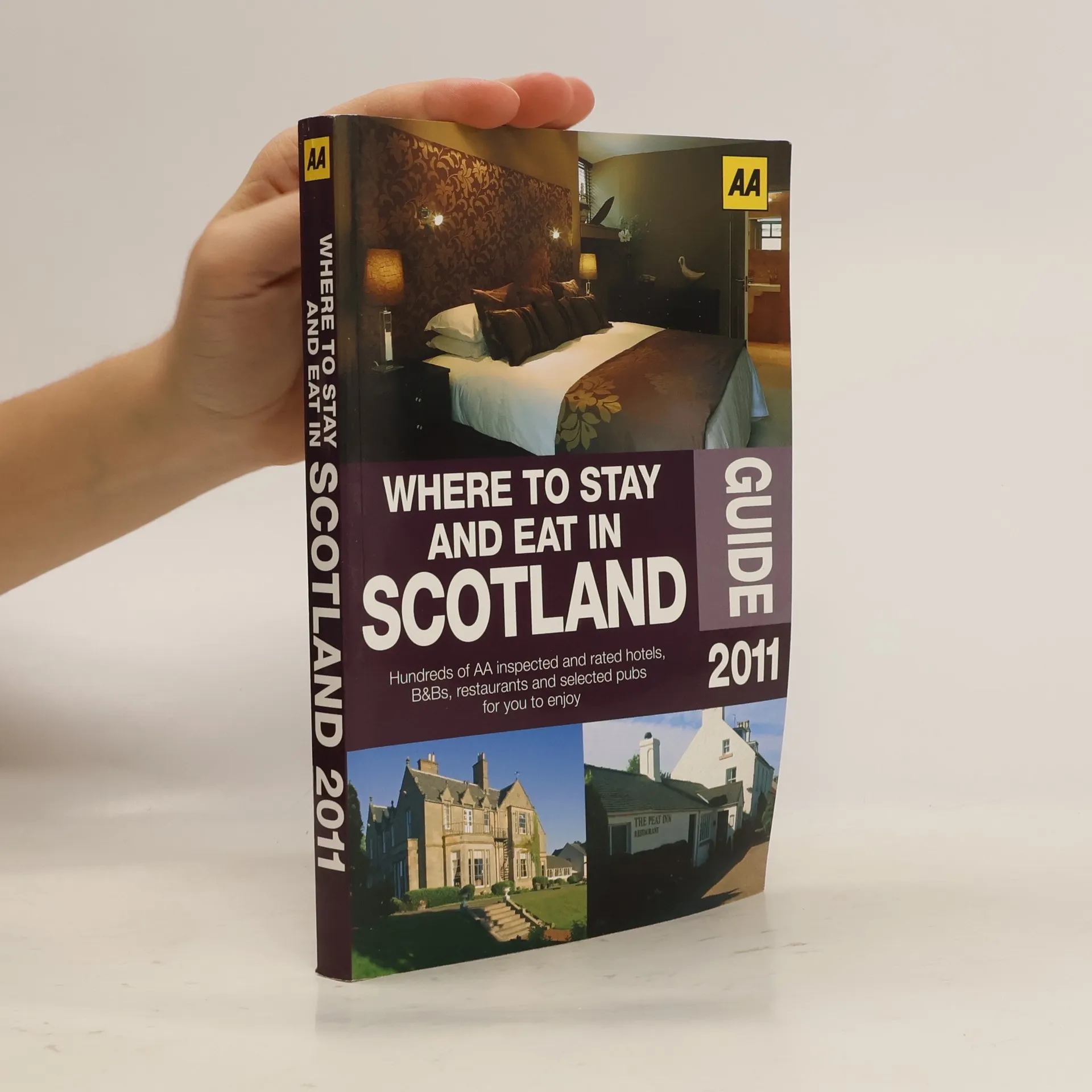
      The perfect companion for anyone planning a trip to Scotland. Containing everything you need all in one guide, the very latest information on accommodation and eating out in Scotland from AA-rated hotels and guest accommodation to restaurants and pubs.

      Where to Stay and Eat in Scotland
    • Activities, puzzles, games, doodles and more to keep the kids entertained on a trip. Holiday Puzzles is perfect for entertaining slightly older children on a trip, or quietly at home, including assorted games, puzzles and things to spot on a journey. More than 175 activities are included, with instructions, answers and puzzle solutions at the back of the book

      Travel Games
    • Glovebox Atlas Ireland

      • 80 pages
      • 3 hours of reading

      Fully updated mapping based on latest census data, this atlas includes AA-inspected camping sites, viewpoints and service areas. Toll motorways and dual carriageways are clearly shown as well as places of interest for tourists and locals. This handy A5-sized atlas at 4.7 mile to 1 inch scales makes referencing easy on the go and is the ideal companion for touring Ireland. Ireland's clearest mapping, fully updated in a handy format to fit perfectly into any car's glovebox. Vehicle and passenger ferry routes. Routeplanner map. New features on the mapping include the Wild Atlantic Way route.

      Glovebox Atlas Ireland
    • Motorist's Atlas 2024

      • 208 pages
      • 8 hours of reading

      A4 road atlas showcasing Britain's clearest mapping at 4 miles to 1 inch with up-to-date mapping from the experts at the AA. A4 format revised and updated for 2024, features include top 300 AA-inspected caravan and camping sites, district mapping of Birmingham, Glasgow, Manchester, London and Newcastle.

      Motorist's Atlas 2024
    • Walking is one of Britain's favourite leisure activities, and these guides feature a variety of mapped walks to suit all abilities. Walk details include a summary of distance, time, terrain and parking. Full-colour maps for each walk and full introduction to each walk providing information of local interest.

      50 Walks in Dorset
    • Europe's clearest mapping from the experts at the AA. Practical, slimline format with clear multiscale mapping of Europe with ski resorts, ferry routes and national and main administrative boundaries highlighted.

      AA Road Map Western Europe
    • 50 Walks in Hampshire & IOW

      • 180 pages
      • 7 hours of reading

      Walking is one of Britain's favourite leisure activities, and these guides feature a variety of mapped walks to suit all abilities. Walk details include a summary of distance, time, terrain and parking. Full-colour maps for each walk and full introduction to each walk providing information of local interest.

      50 Walks in Hampshire & IOW
    • Big Road Atlas Britain 2024

      • 160 pages
      • 6 hours of reading

      Top-selling A3 road atlas showcasing Britain's clearest mapping at 3 miles to 1 inch including Ireland at 16 miles to 1 inch. A3 format revised and fully updated for 2024. Features include a 4 page clear Route Planner map, 68 city, town and port plans, top 300 AA-inspected caravan and camping sites and over 1,800 golf courses.

      Big Road Atlas Britain 2024
    • 50 Walks in Snowdonia & North Wales

      • 180 pages
      • 7 hours of reading

      Walking is one of Britain's favourite leisure activities, and these guides feature a variety of mapped walks to suit all abilities. Walk details include a summary of distance, time, terrain and parking. Full-colour maps for each walk and full introduction to each walk providing information of local interest.

      50 Walks in Snowdonia & North Wales
    • 50 Walks in Yorkshire Dales

      • 180 pages
      • 7 hours of reading

      Walking is one of Britain's favourite leisure activities, and these guides feature a variety of mapped walks to suit all abilities. Walk details include a summary of distance, time, terrain and parking. Full-colour maps for each walk and full introduction to each walk providing information of local interest.

      50 Walks in Yorkshire Dales
    • Caravan & Camping Guide 2024

      • 400 pages
      • 14 hours of reading

      Over 580 campsites, inspected and rated quality by AA inspectors this guide is full of practical information - opening dates, prices, on-site facilities. Featuring all the award-winning AA campsites of the year for 2024.

      Caravan & Camping Guide 2024
    • A5 Atlas of Scotland with an easy to read 4 mile to 1 inch scale with up-to- date mapping. Including Historic Scotland, National Trust sites and Ireland mapping. Scenic routes and touring information are shown along with top AA- inspected caravan & camping sites, AA listed golf courses, town plans of central Edinburgh and Glasgow.

      AA Glovebox Atlas Scotland
    • Easy Read Britain 2024

      • 376 pages
      • 14 hours of reading

      Fully updated for 2024, this giant 2.3 miles to 1 inch scale format atlas provides giant scale mapping from the experts at the AA at 2.3 miles to 1 inch. Features include 6 page clear Route Planner map, large print place names and index, top 300 AA-Inspected caravan and camping sites and over 240 service areas.

      Easy Read Britain 2024
    • Britain's clearest mapping from the experts at the AA, in a handy foldable map. Fully updated, the map combines clear design and an easy-to-read scale with more road detail to ensure that you never lose your way.

      Road Map The West Country & South Wales
    • Britain's clearest mapping from the experts at the AA, in a handy foldable map. Fully updated, the map combines clear design and an easy-to-read scale with more road detail to ensure that you never lose your way.

      Road Map North of England & Scottish Borders
    • AA Theory Test for Car Drivers

      • 272 pages
      • 10 hours of reading

      All of the recommended revision questions and answers for the driving test theory - perfect for any learner driver. Features include all of the revision theory questions and answers for car drivers licensed from the DVSA. Every question features explanatory text to help learners revise for each question.

      AA Theory Test for Car Drivers
    • Britain's clearest mapping from the experts at the AA, in a handy foldable map. Fully updated, the map combines clear design and an easy-to-read scale with more road detail to ensure that you never lose your way.

      Road Map Central Southern England
    • Britain's clearest mapping from the experts at the AA, in a handy foldable map. Fully updated, the map combines clear design and an easy-to-read scale with more road detail to ensure that you never lose your way.

      Road Map Wales
    • Big Road Atlas Britain 2023

      • 160 pages
      • 6 hours of reading

      Top-selling A3 road atlas showcasing Britain's clearest mapping at 3 miles to 1 inch.

      Big Road Atlas Britain 2023
    • Britain’s clearest mapping from the experts at the AA, in a handy foldable map. Features include caravan and camping sites pinpointed on the mapping, city and town plans, easy-to-read place index name and a range of 9 regional sheet maps plus 1 map covering the whole of Britain

      AA Road Map North of England & Scottish Borders
    • Britain’s clearest mapping from the experts at the AA, in a handy foldable map. Features include caravan and camping sites pinpointed on the mapping, city and town plans, easy-to-read place index name and a range of 9 regional sheet maps plus 1 map covering the whole of Britain.

      AA Road Map East Anglia
    • Walking is one of Britain’s favourite leisure activities and these guides feature a variety of mapped walks to suit all abilities, from gentle strolls to longer hikes.

      AA 50 Walks in North Yorkshire
    • Walking is one of Britain’s favourite leisure activities and these guides feature a variety of mapped walks to suit all abilities, from gentle strolls to longer hikes.

      AA 50 Walks in Gloucestershire
    • Britain's clearest mapping from the experts at the AA, in a handy foldable map. Features include caravan and camping sites pinpointed on the mapping, city and town plans, easy-to-read place index name and a range of 9 regional sheet maps plus 1 map covering the whole of Britain

      AA Road Map Scotland
    • AA Motorist's Atlas 2025

      • 208 pages
      • 8 hours of reading

      Fully updated for 2025 with 70 city, town and port plans, this A4 format spiral bound road atlas provides super-clear mapping at 4 miles to 1 inch. Featuring top 300 AA-Inspected caravan and camping sites and district mapping of Birmingham, Glasgow, Manchester, London and Newcastle.

      AA Motorist's Atlas 2025
    • Walking is one of Britain’s favourite leisure activities and these guides feature a variety of mapped walks to suit all abilities, from gentle strolls to longer hikes.

      AA 50 Walks in Staffordshire
    • AA Big Easy Read Atlas Britain 2025

      • 208 pages
      • 8 hours of reading

      This A3 format atlas has been revised and updated for 2025 containing up-to- date mapping from the experts at the AA in a giant 2.5 miles to 1 inch scale. Features include a large print place names and index, 72 city, town and port plans, top 300 AA-Inspected caravan and camping sites, over 1,800 golf courses and a 4 page route planner .

      AA Big Easy Read Atlas Britain 2025
    • Britain’s clearest mapping from the experts at the AA, in a handy foldable map. Features include caravan and camping sites pinpointed on the mapping, city and town plans, easy-to-read place index name and a range of 9 regional sheet maps plus 1 map covering the whole of Britain

      AA Road Map Britain
    • AA Easy Read Atlas Britain 2025

      • 376 pages
      • 14 hours of reading

      This A4 format atlas has been revised and updated for 2025 containing up-to- date mapping from the experts at the AA in a giant 2.3 miles to 1 inch scale. Features include a large print place names and index, top 300 AA-Inspected caravan and camping sites and over 240 service areas along with a 6 page clear route planner map.

      AA Easy Read Atlas Britain 2025
    • Walking is one of Britain’s favourite leisure activities and these guides feature a variety of mapped walks to suit all abilities, from gentle strolls to longer hikes.

      AA 50 Walks in Warwickshire
    • Walking is one of Britain’s favourite leisure activities and these guides feature a variety of mapped walks to suit all abilities, from gentle strolls to longer hikes.

      AA 50 Walks in Oxfordshire
    • Fully revised and updated, this specialist A4 road atlas designed for the British motorist in Europe includes 43 city plans, information on national speed limits, emergency telephone numbers and road distances, together with national parks and many other places of interest. With mapping to 54 countries, including all EU members, this is the ideal companion for keeping you on the move in Europe.

      2013 Road Atlas Europe
    • Cycling in the South East of England

      • 128 pages
      • 5 hours of reading

      More and more of the Brits are turning to cycling, whether as an inexpensive, healthy, and environmentally friendly means of getting to work or school, or as a way of exploring Britain's towns, cities, and countryside. More than 75% of UK residents live within two miles of the National Cycle Network, and a continuous program of development led by Sustrans means it is growing all the time. This exciting publishing partnership brings together the expertise of two of Britain's great pioneering transport organizations to create a fantastic new series of seven regional guides. With clearly marked maps, recommended rides, and details of what to see, the Cycling in... series provides all the information you need to discover the best of Britain with the wind in your hair, up close and personal, without spending a fortune on fuel.

      Cycling in the South East of England
    • Golf Course Guide 2010

      • 544 pages
      • 20 hours of reading

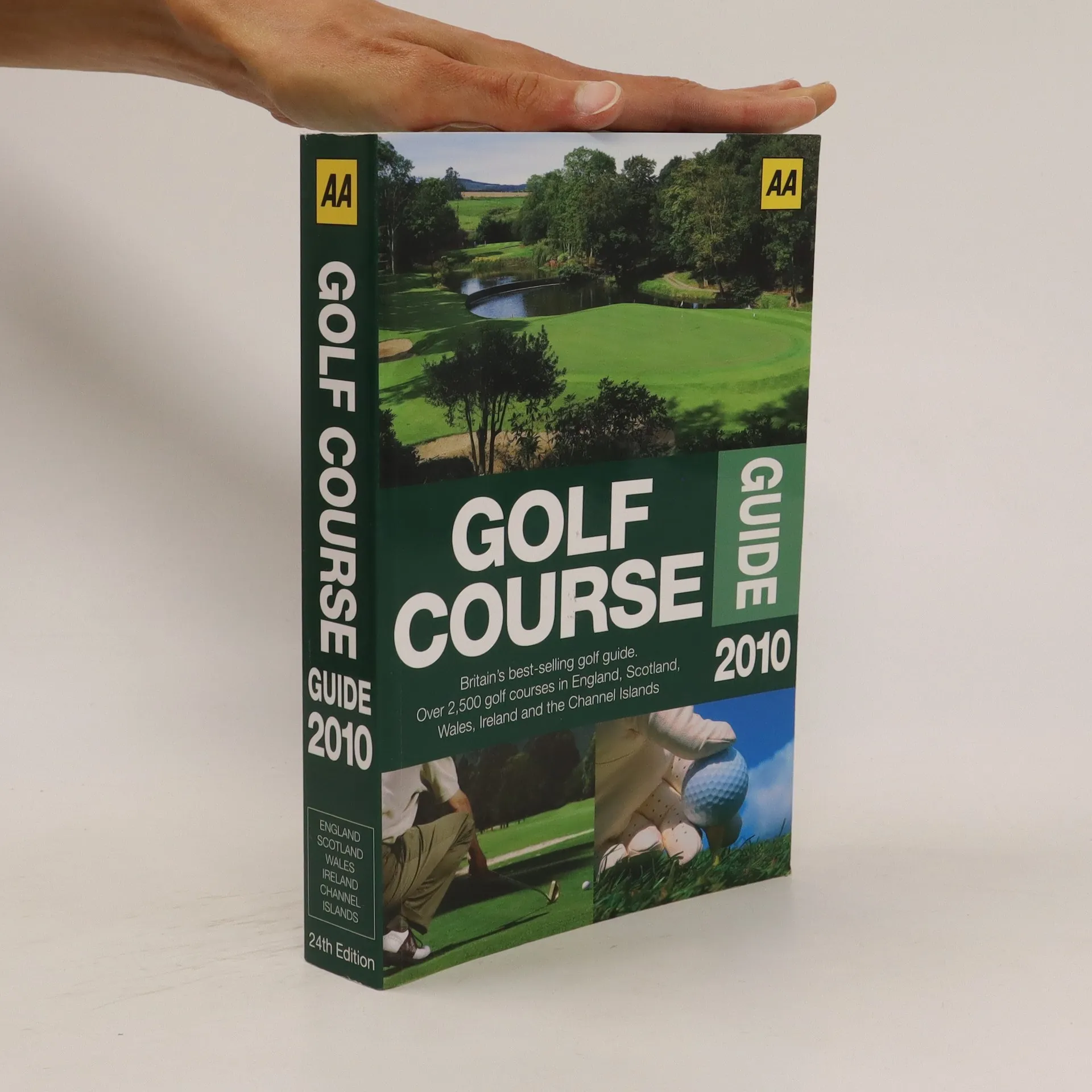
      Fully updated for 2010 with descriptions of each course, course designer details, and golf professionals. Details for visitors include green fees, leisure facilities, and entry restrictions. Each course is listed in county and town order for easy reference. Championship courses have full-page entries, special interest courses are highlighted, and there is a full driving range index. Recommended accommodation is given for each course, and every featured hotel and guest accommodation has been inspected and rated by the AA’s inspectors.
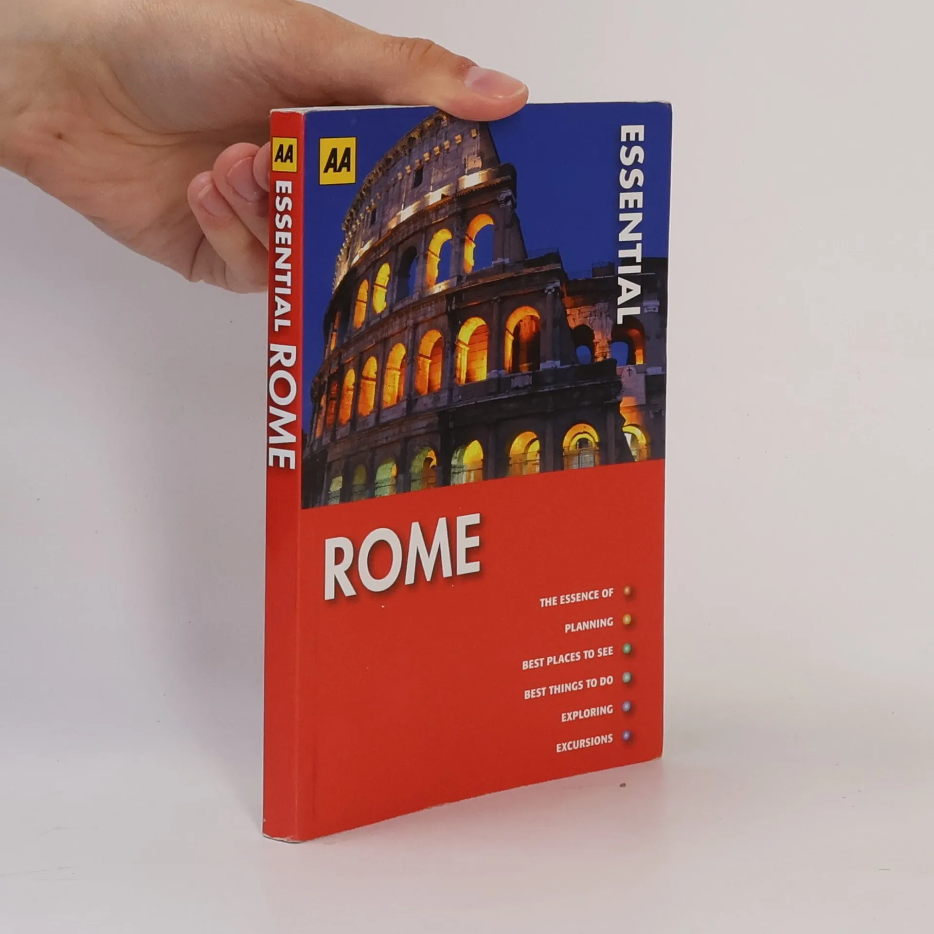
      Golf Course Guide 2010
    • AA Essential Sailing Destinations

      The World's Most Spectacular Cruising Areas. Forew. By Robin Knox-Johnston

      • 320 pages
      • 12 hours of reading

      A guide to enjoying the world's seas and oceans, highlighting some of the vibrant, relaxing and secluded spots to drop anchor. It includes nautical know-how such as prevailing wind direction/speed, sailing experience required, best times to visit, and safe anchorages. It also provides tips on places to eat, drink, and visit.

      AA Essential Sailing Destinations
    • AA Spiral Boston & New England

      • 220 pages
      • 8 hours of reading

      AA Spiral Guides offer a witty and lively reading style, with bold colours and strong classic photographs making them an appealing and fun read. The magazine section echoes the look and feel of a glossy Sunday supplement and coupled with entertaining text will really set the scene to your trip to Boston and New England. The guide also includes, listings, walks and tours and a streetplan of the area, along with fold-back flat spiral binding for flat folding pages, this is the ideal holiday guide to Boston and New England.

      AA Spiral Boston & New England
    • AA Street by Street

      Edinburgh

      • 160 pages
      • 6 hours of reading

      This fully-updated map clearly labels AA-recommended restaurants, pubs, and hotels, as well as one-way streets, parking garages, and 24-hour gas stations. With a color scheme designed for easy reading by street light, this is the ultimate motorist’s guide.

      AA Street by Street
    • Northern England Road Map

      3 Miles to 1 Inch, 1 : 200,000 Scale, 2 Km to 1 Cm - National Grid References, Clear, Detailed Mapping, Easy to Read Index, 10 City and Town Plans

      Northern England Road Map
    • AA Essential Turkey South Coast

      • 190 pages
      • 7 hours of reading

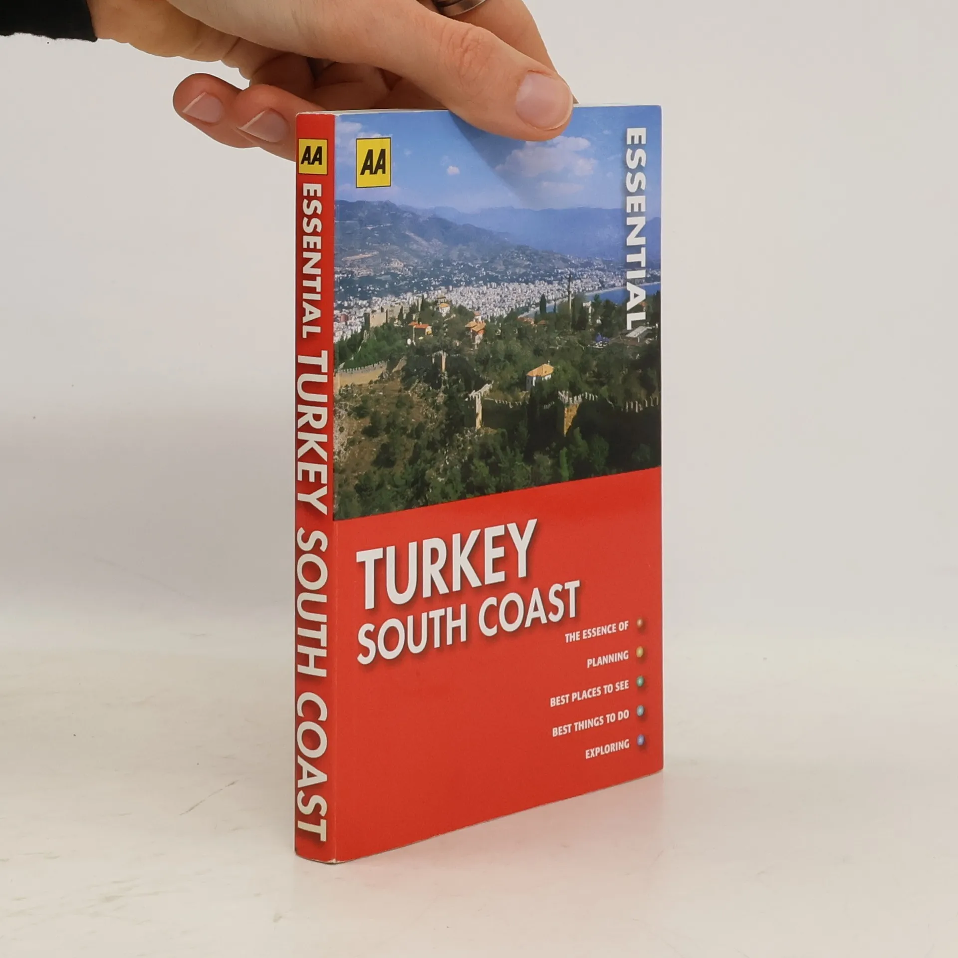
      Pocket-sized and packed with all the information you need for a memorable holiday, "AA Essential Turkey South Coast" is great value for money and an ideal choice to help you get the best out of the destination. The guide contains helpful advice for planning you trip with information about when to go, getting there, being there and getting around. There are website addresses and practical information throughout. Also included are the best things to see and do in the Turkey South Coast, plus hotels, restaurants and nightlife cross-referenced with grid locations so you can pinpoint them on the mapping.

      AA Essential Turkey South Coast
    • AA Street by Street: Liverpool

      Visitor Guide & Atlas

      • 240 pages
      • 9 hours of reading

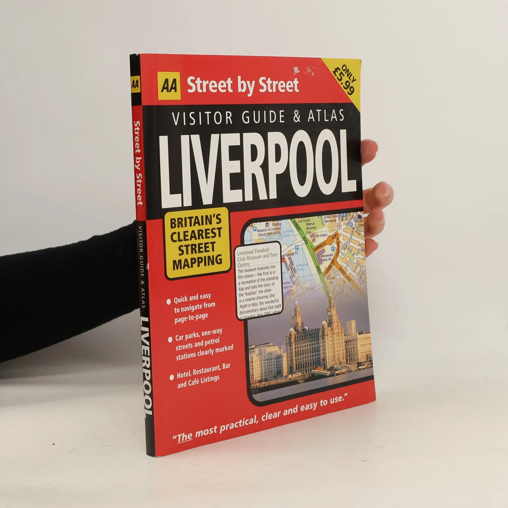
      This brand new series from AA Publishing features all the advantages of our renowned Street by Street series, with the added benefit of a comprehensive listings section to help you decide what to do and where to go for entertainment The series covers some of our most popular cities, and includes themes as diverse as bars, clubs, comedy, music, dance, art, film, theatre, galleries and museums. The maps clearly show AA recommended restaurants, pubs, hotels, one-way streets and car parks. Featuring a clever use of colour to ensure they can be read under street lighting, these maps are all you need to keep you on the move.

      AA Street by Street: Liverpool
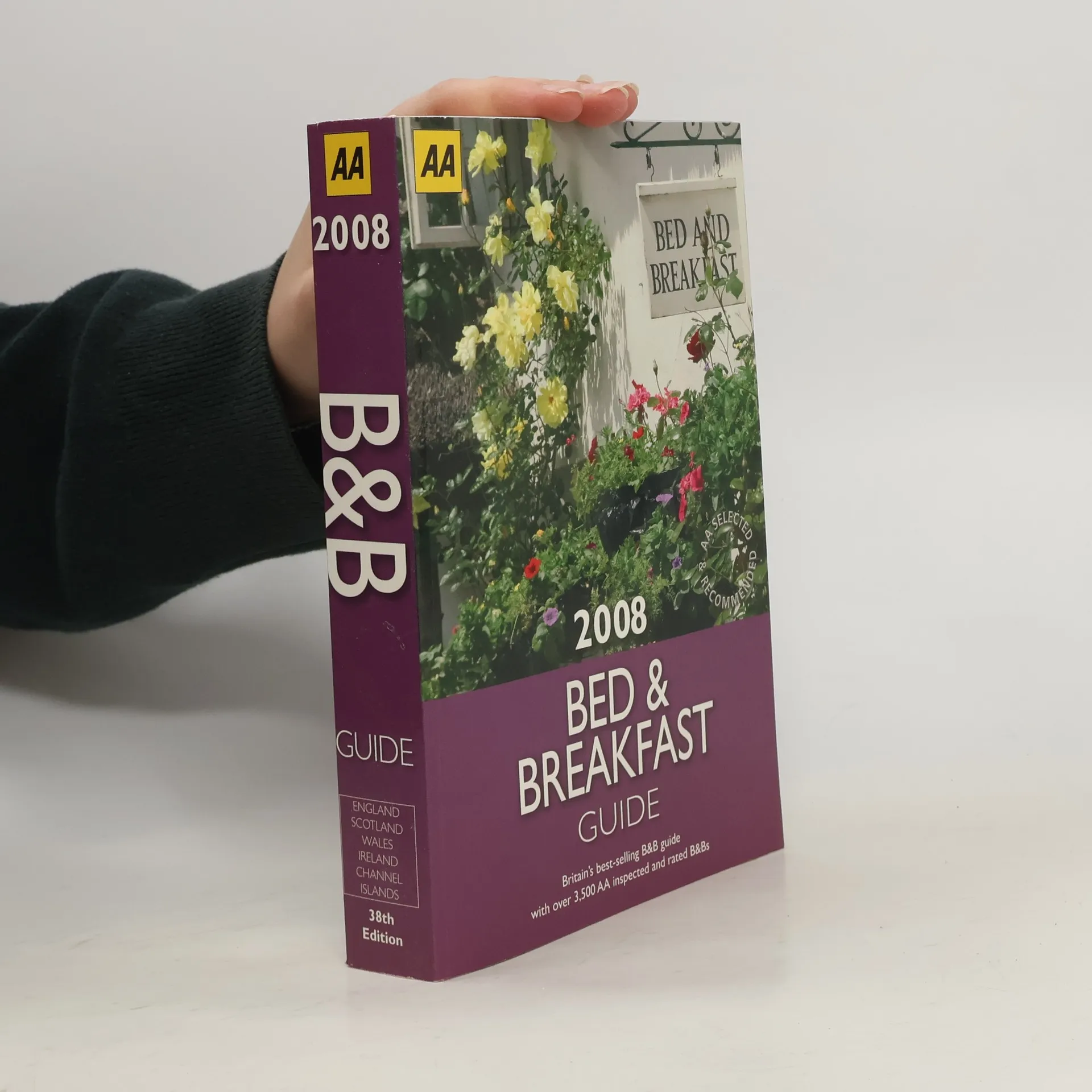
    • This full-color guide to over 4,000 inspected B&B's, guest houses, farmhouses, and inns in Britain is fully updated for 2008. All of the establishments featured have been inspected and rated from 1 to 5 stars for quality by the AA's inspectors. Useful symbols highlight the very best breakfasts and evening meals. Plus, there are up-to-date details of room prices, credit cards, family suitability, parking, and directions throughout. Special features include the AA Guest Accommodation of the Year Awards. There are prices, opening times, leisure facilities, directions, and websites listed throughout.

      Bed and Breakfast Guide 2008 - 38th Edition
    • 50 Walks in the Lake District

      50 Walks of 3 to 8 Miles

      • 128 pages
      • 5 hours of reading

      Explore the beauty of the Lake Disctrict with this slim-line pocket-sized walking guide with a range of walks to suit the casual walker and the hiker. Thirty walks are fully annotated with places to visit on the way, with each one highlighting a particular feature, including wildlife, history, and the countryside. Ten extensions are provided also to reveal shortcuts or more challenging possibilites. There are also 10 non-mapped routes that provide simple linear walks such as nature trails or canal towpaths.

      50 Walks in the Lake District
    • AA Key Guide Venice

      • 320 pages
      • 12 hours of reading

      The chapters in this fantastic travel guide to Venice has been ordered so that all the sights, walks, and listings for that area are in one section. This makes it much more user-friendly.

      AA Key Guide Venice
    • Italian Phrasebook

      • 224 pages
      • 8 hours of reading

      The perfect companion for travelling through Italy, the AA Italian Phrasebook contains everything you need to know in a way that's concise, accessible and easy-to-understand in a handy pocket size.

      Italian Phrasebook