
Sold out


More about the book
- Deutschland 1:300T - 28 Ballungsräume Deutschland 1:100T inkl. Citypläne 1:25T - Autobahnkarte Deutschland 1:600T - Dänemark, Benelux, Schweiz, Österreich 1:300T - Europa 1:800T - 13 Citypläne Europa - Europa Planungskarte 1:4,5 Mio - Infogramm - Hotel- und Restaurantanzeigen Deutschland, Österreich, Schweiz, Italien, Elsass - Integriertes Gesamtregister aller Maßstäbe für Dtsl.
Book purchase
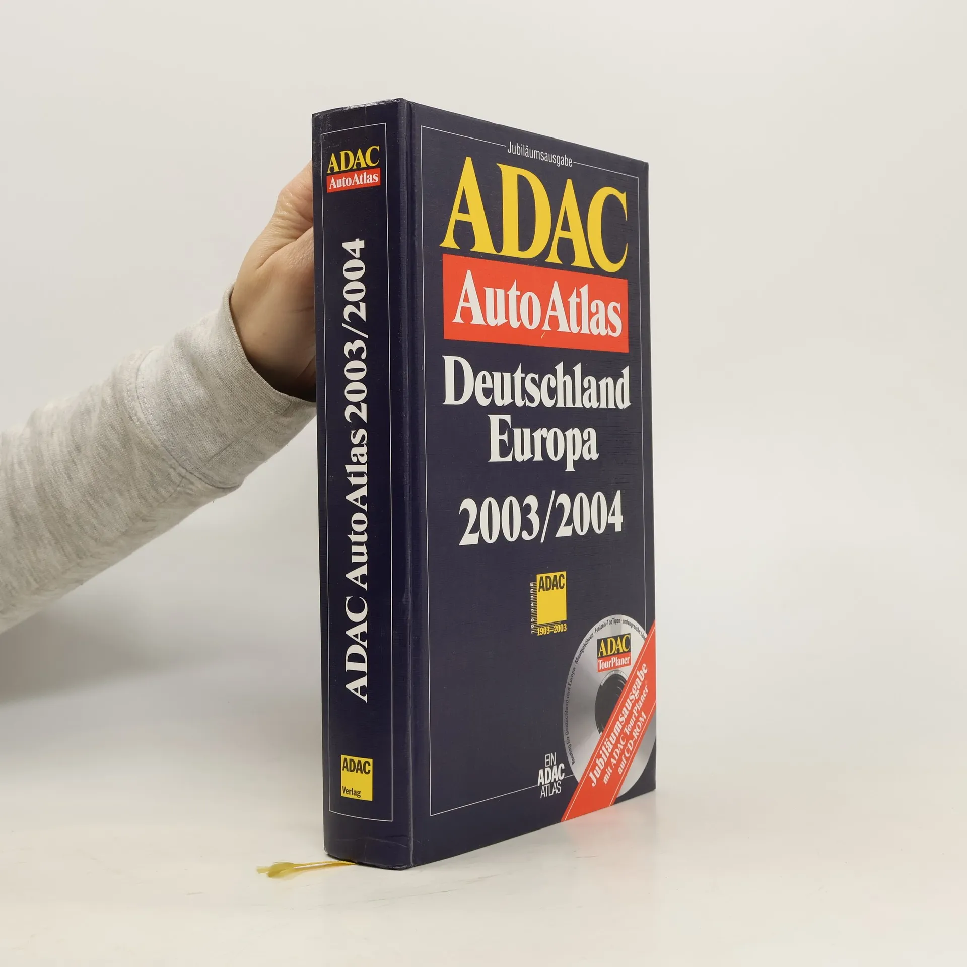
ADAC AutoAtlas Deutschland / Europa 2003/2004., Various authors
- Language

- Released
- 2002
- product-detail.submit-box.info.binding
- (Hardcover)
We’ll email you as soon as we track it down.
Payment methods
No one has rated yet.
- Title
- ADAC AutoAtlas Deutschland / Europa 2003/2004.
- Language
- German
- Authors
- Various authors
- Publisher
- ADAC
- Released
- 2002
- Format
- Hardcover
- ISBN10
- 3826412613
- ISBN13
- 9783826412615
- Series
- Description
- - Deutschland 1:300T - 28 Ballungsräume Deutschland 1:100T inkl. Citypläne 1:25T - Autobahnkarte Deutschland 1:600T - Dänemark, Benelux, Schweiz, Österreich 1:300T - Europa 1:800T - 13 Citypläne Europa - Europa Planungskarte 1:4,5 Mio - Infogramm - Hotel- und Restaurantanzeigen Deutschland, Österreich, Schweiz, Italien, Elsass - Integriertes Gesamtregister aller Maßstäbe für Dtsl.