
Sold out
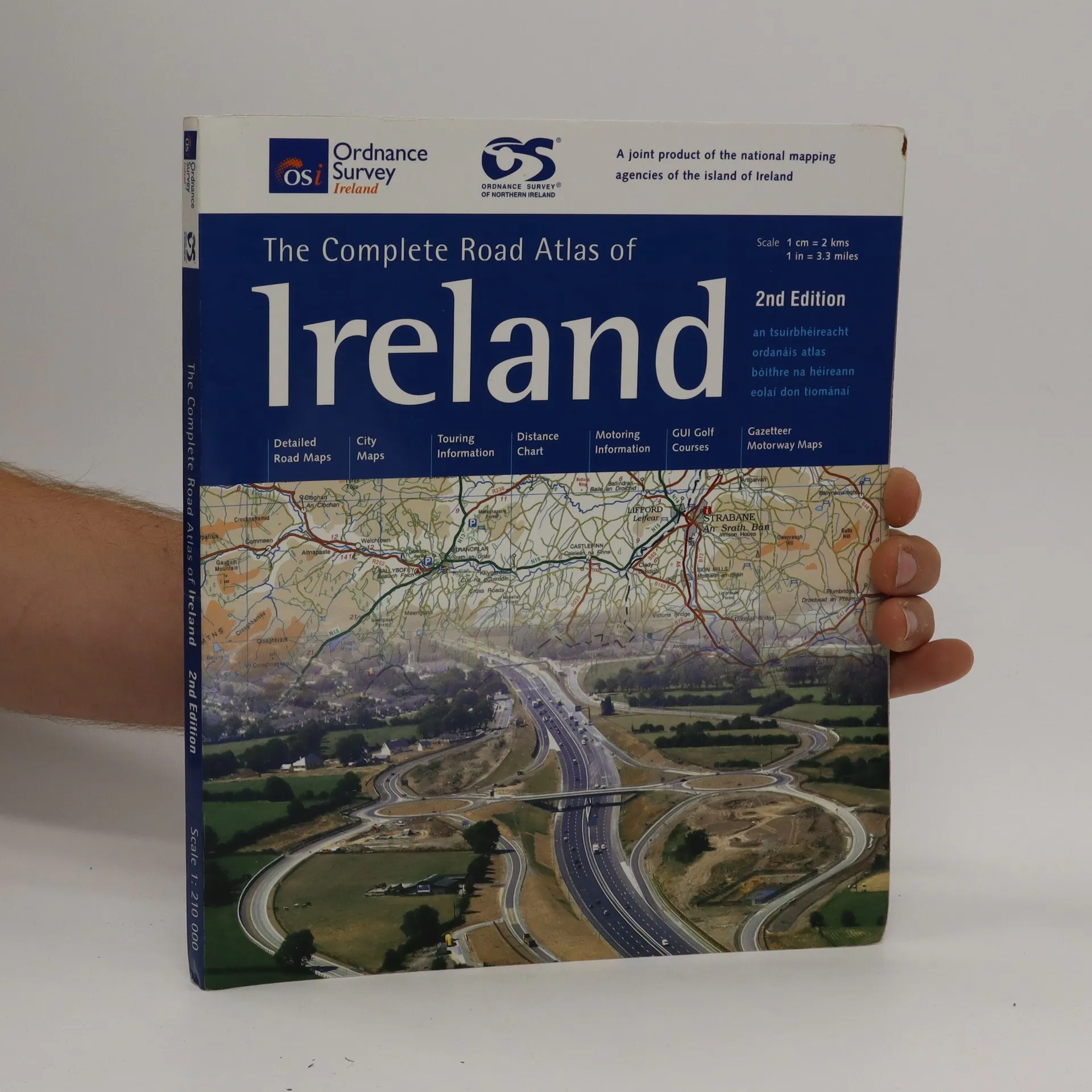
The complete road atlas of Ireland = an tsuirbhéireacht ordanáis atlas bóithre na hÉireann eolai don tiománaí.
Authors
- Various authors
Book rating
More about the book
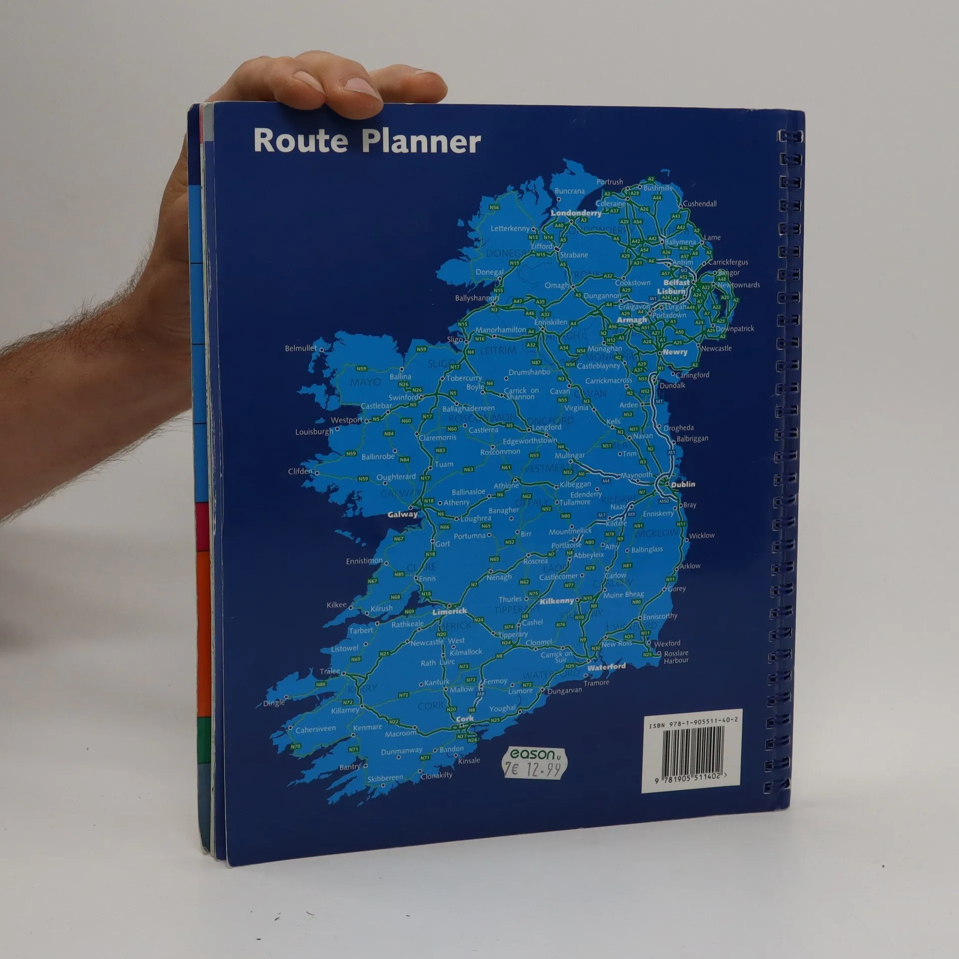
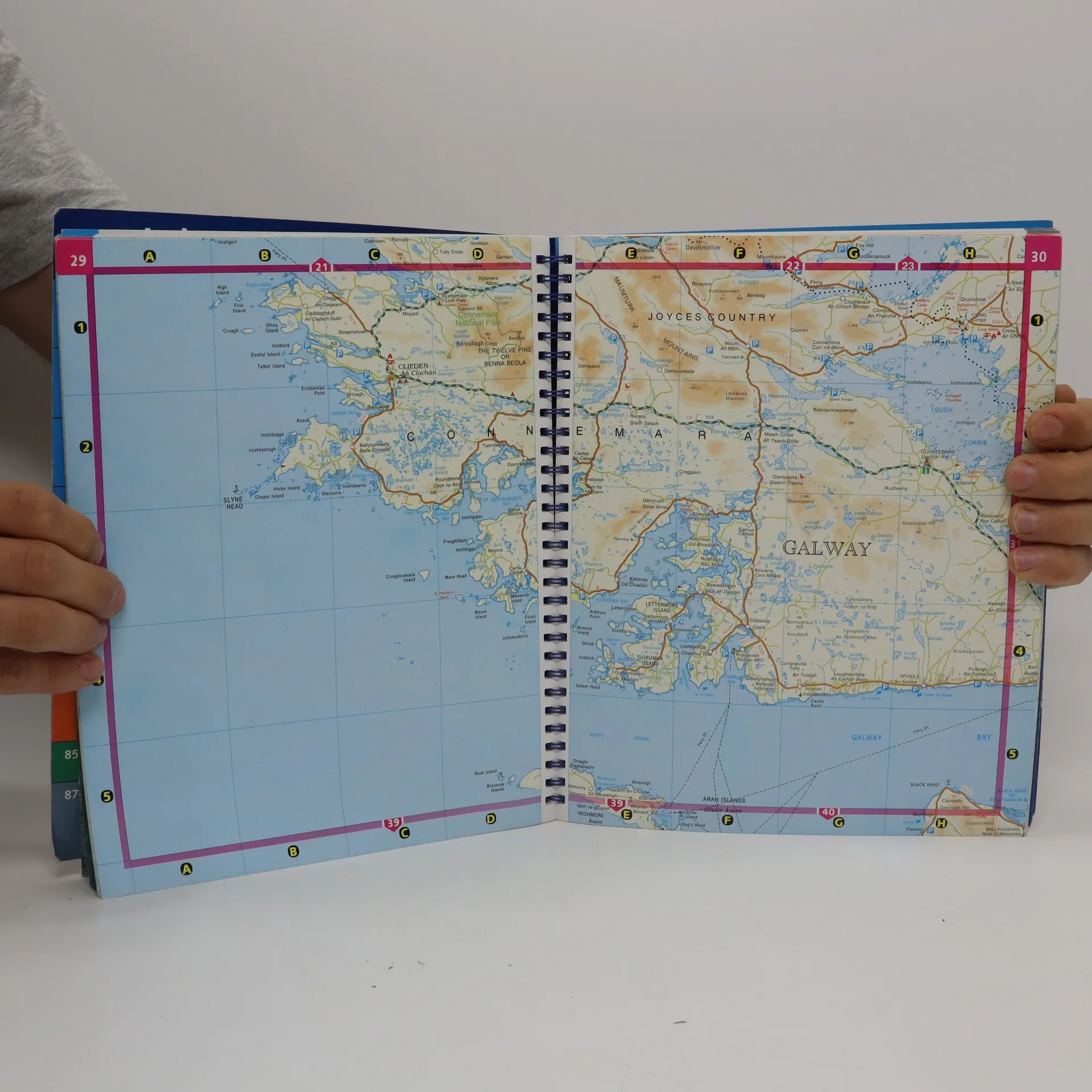
Spiral-bound atlas of Ireland that features detailed road maps at 1:210,000 scale (1 inch = 3.3 miles). Also includes city maps, touring and motoring information, distance chart, golf courses, and placename index. Cities maps of Dublin, Belfast, Cork, Londonderry, Armagh, Galway, Kilkenny, Limerick, Lisburn, Newry, and Waterford. Legend in Gaelic, English, French and German.
Book purchase
The complete road atlas of Ireland = an tsuirbhéireacht ordanáis atlas bóithre na hÉireann eolai don tiománaí., Various authors
- Language

- Released
- 2007
- product-detail.submit-box.info.binding
- (Spiral)
We’ll email you as soon as we track it down.
Payment methods
We’re missing your review here.
- Title
- The complete road atlas of Ireland = an tsuirbhéireacht ordanáis atlas bóithre na hÉireann eolai don tiománaí.
- Language
- English
- Authors
- Various authors
- Publisher
- Ordnance Survey of Ireland
- Released
- 2007
- Format
- Spiral
- Pages
- 107
- ISBN10
- 190551140x
- ISBN13
- 9781905511402
- Series
- Rating
- 4.5 out of 5
- Description
- Spiral-bound atlas of Ireland that features detailed road maps at 1:210,000 scale (1 inch = 3.3 miles). Also includes city maps, touring and motoring information, distance chart, golf courses, and placename index. Cities maps of Dublin, Belfast, Cork, Londonderry, Armagh, Galway, Kilkenny, Limerick, Lisburn, Newry, and Waterford. Legend in Gaelic, English, French and German.