

More about the book
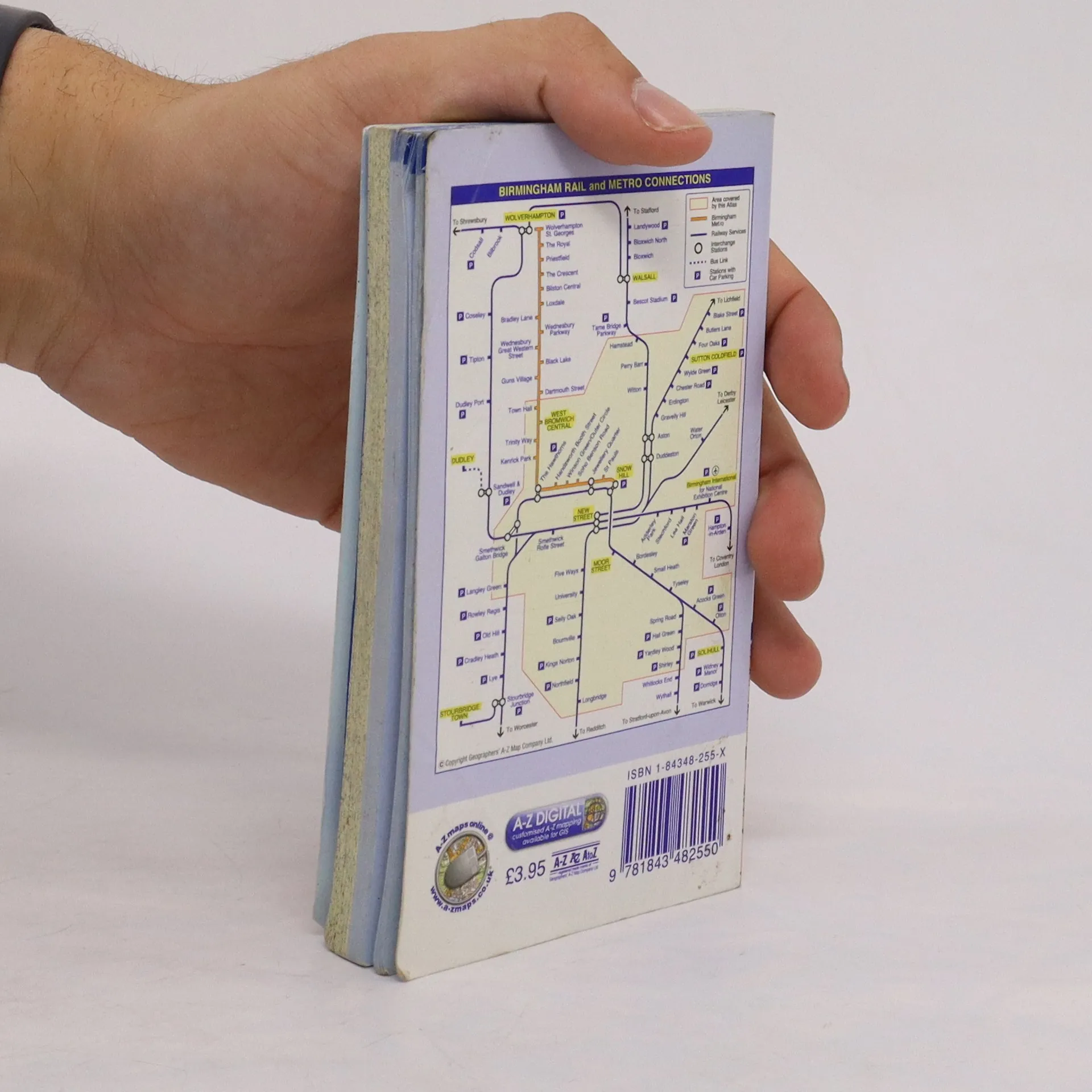
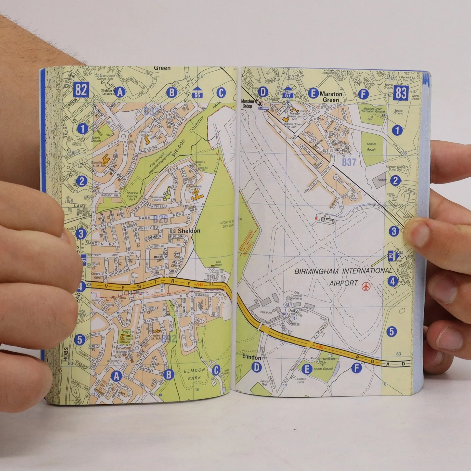
This spiral bound map of Birmingham includes coverage of:•Birmingham•Bloxwich•Dudley•Sedgley•Solihull•Stourbridge•Walsall•West Bromwich•WolverhamptonThe atlas includes 164 street map pages extending to include:•Aldridge•Brownhills•Castle Bromwich•Dorridge•Great Wyrley•Halesowen•Knowle•Longbridge•Oldbury•Smethwick•Sutton Coldfield•Wednesfield•WombourneAlso included are large scale city centre maps of Birmingham and Wolverhampton and a West Midlands rail and Midland Metro transport connections map on the back cover.Postcode districts, one-way streets and safety camera locations with maximum speeds are featured on the mapping.The index section lists streets; selected flats, walkways and places of interest; place and area names; National Rail and Midland Metro stations. There is a separate list of hospitals, NHS Walk-in Centres and hospices covered by this map.
Book purchase
City of Birmingham, Various authors
- Language

- Released
- 2005
- product-detail.submit-box.info.binding
- (Paperback)
Payment methods
No one has rated yet.
- Title
- City of Birmingham
- Language
- English
- Authors
- Various authors
- Publisher
- AZ
- Released
- 2005
- Format
- Paperback
- Pages
- 224
- ISBN10
- 184348255X
- ISBN13
- 9781843482550
- Series
- Description
- This spiral bound map of Birmingham includes coverage of:•Birmingham•Bloxwich•Dudley•Sedgley•Solihull•Stourbridge•Walsall•West Bromwich•WolverhamptonThe atlas includes 164 street map pages extending to include:•Aldridge•Brownhills•Castle Bromwich•Dorridge•Great Wyrley•Halesowen•Knowle•Longbridge•Oldbury•Smethwick•Sutton Coldfield•Wednesfield•WombourneAlso included are large scale city centre maps of Birmingham and Wolverhampton and a West Midlands rail and Midland Metro transport connections map on the back cover.Postcode districts, one-way streets and safety camera locations with maximum speeds are featured on the mapping.The index section lists streets; selected flats, walkways and places of interest; place and area names; National Rail and Midland Metro stations. There is a separate list of hospitals, NHS Walk-in Centres and hospices covered by this map.