
Sold out

More about the book
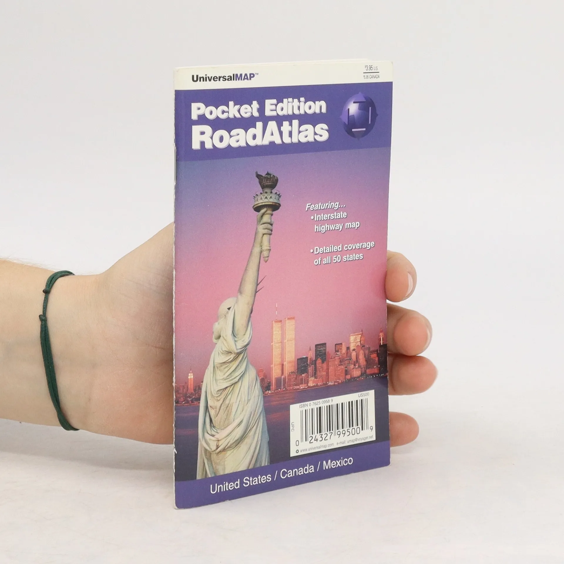
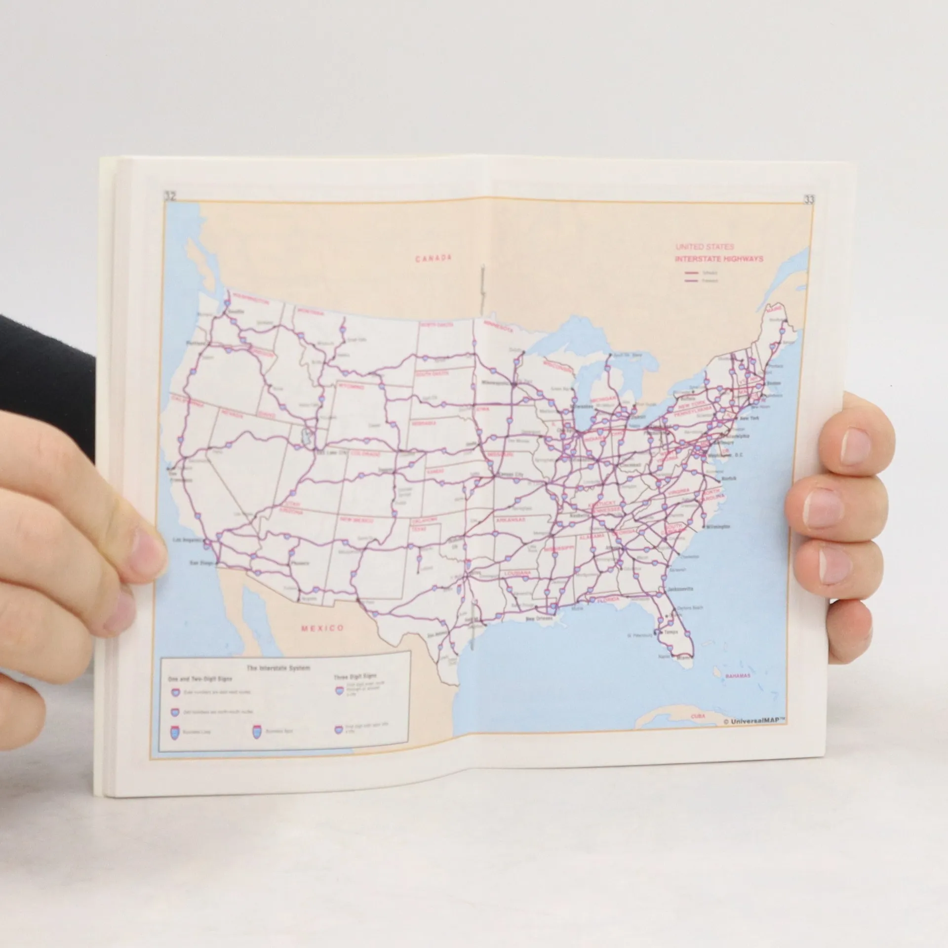
This pocket edition RoadAtlas is full color and includes the United States, Canada, and Mexico. There is detailed coverage of all 50 states. The atlas also features an Interstate highway map. Travel routes are designated by symbols and color coding indicating interstates, toll highways, secondary roads, etc. Cities are given symbols according to population ranging from less than 5,000 to greater than 500,000. Several tables of equivalents are included as well as a trip expense record.
Book purchase
Road Atlas, Various authors
- Language

- Released
- 1999
- product-detail.submit-box.info.binding
- (Saddle stitch)
We’ll email you as soon as we track it down.
Payment methods
No one has rated yet.
- Title
- Road Atlas
- Language
- English
- Authors
- Various authors
- Publisher
- Universal Map
- Released
- 1999
- Format
- Saddle stitch
- Pages
- 64
- ISBN10
- 0762509589
- ISBN13
- 9780762509584
- Series
- Description
- This pocket edition RoadAtlas is full color and includes the United States, Canada, and Mexico. There is detailed coverage of all 50 states. The atlas also features an Interstate highway map. Travel routes are designated by symbols and color coding indicating interstates, toll highways, secondary roads, etc. Cities are given symbols according to population ranging from less than 5,000 to greater than 500,000. Several tables of equivalents are included as well as a trip expense record.