
Sold out but wanted!


More about the book
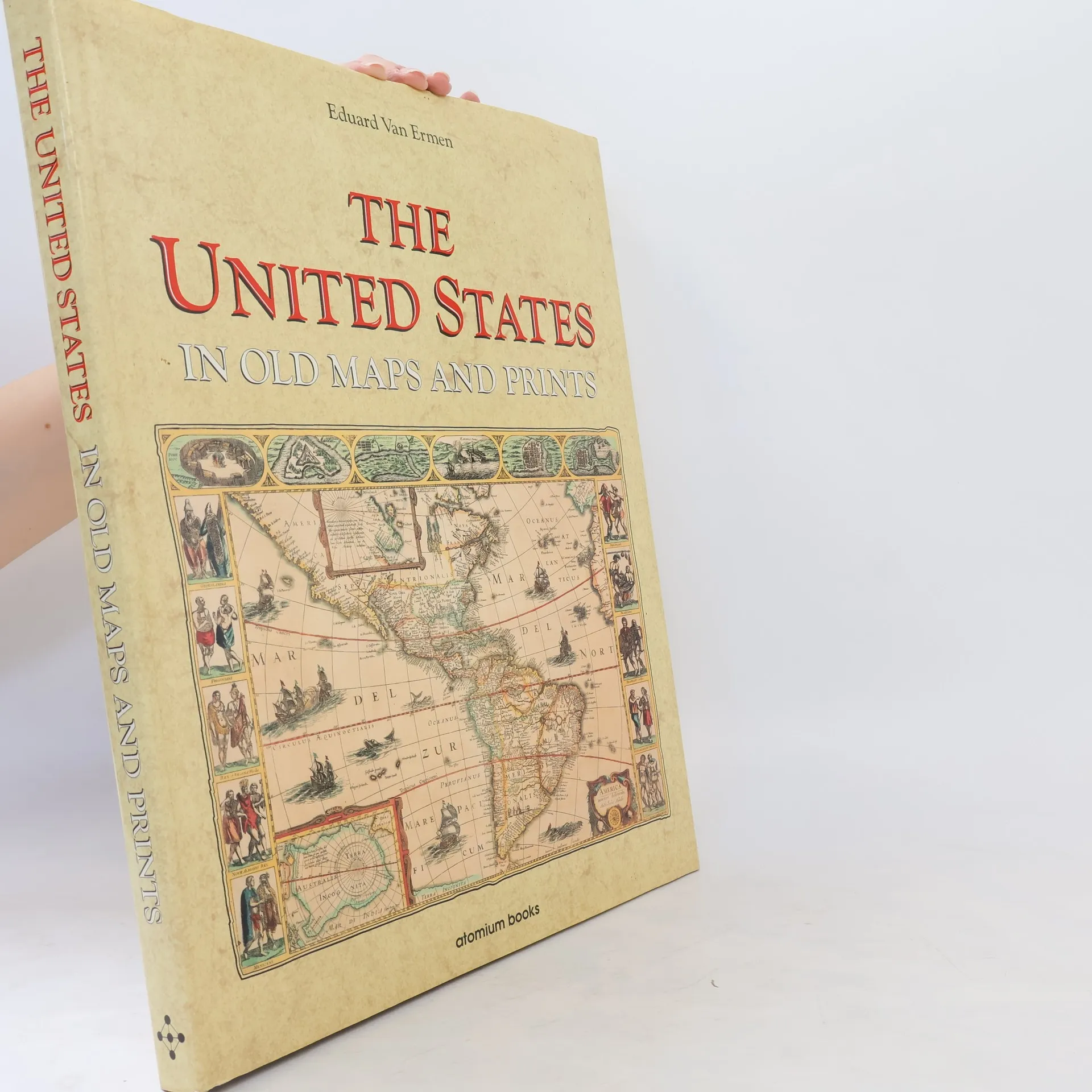
Contains 78 color maps of North America found searching through medieval libraries and museums. Includes military maps along with panoramic views of the old Southern towns drawn by soldiers in the Civil War
Book purchase
The United States in Old Maps and Prints, Eduard van Ermen
- Language

- Released
- 1990
- product-detail.submit-box.info.binding
- (Hardcover)
We’ll email you as soon as we track it down.
Payment methods
We’re missing your review here.
- Title
- The United States in Old Maps and Prints
- Language
- English
- Authors
- Eduard van Ermen
- Publisher
- Atomium Books
- Released
- 1990
- Format
- Hardcover
- Pages
- 144
- ISBN10
- 1561820156
- ISBN13
- 9781561820153
- Series
- Rating
- 3.5 out of 5
- Description
- Contains 78 color maps of North America found searching through medieval libraries and museums. Includes military maps along with panoramic views of the old Southern towns drawn by soldiers in the Civil War