
Sold out
More about the book
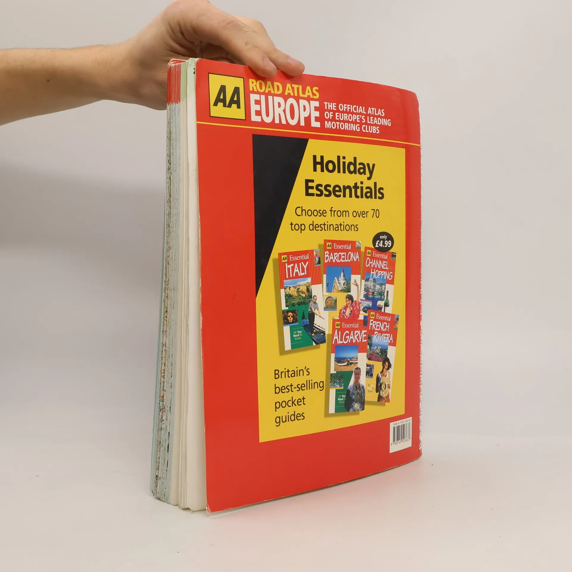
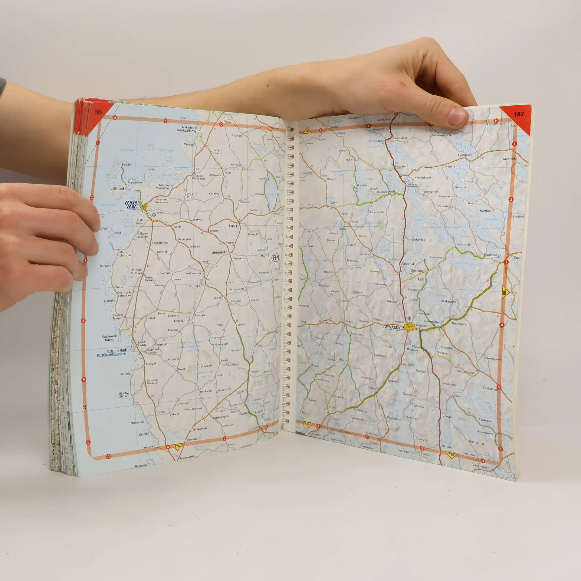
Fully revised and updated for 2020, this specialist A3 road atlas has new and improved mapping designed for the British motorist in Europe. Includes information on road distances, car ferries, national parks, towns, and other places of interest. There are new overview maps to help plan your route with place names shown in local languages. 12 miles to 1 inch 1:750,000 (main atlas scale). Some areas at smaller scales.
Book purchase
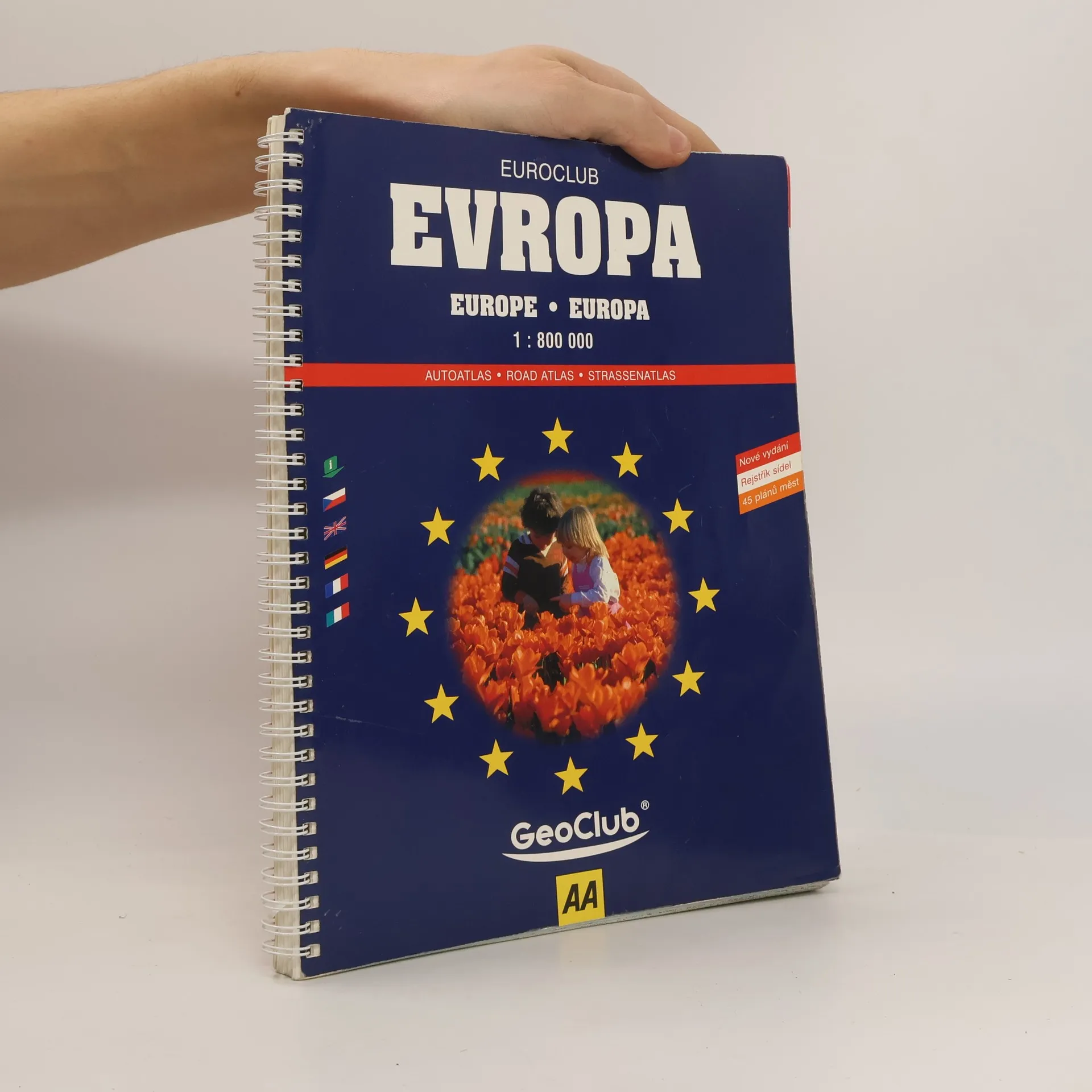
Road Atlas Europe, Various authors
- Language


- Released
- 2000
- product-detail.submit-box.info.binding
- (Spiral)
We’ll email you as soon as we track it down.
Payment methods
No one has rated yet.
- Title
- Road Atlas Europe
- Language
- Czech, English
- Authors
- Various authors
- Publisher
- Automobile Association
- Released
- 2000
- Format
- Spiral
- Pages
- 224
- ISBN10
- 0749523638
- ISBN13
- 9780749523633
- Series
- Description
- Fully revised and updated for 2020, this specialist A3 road atlas has new and improved mapping designed for the British motorist in Europe. Includes information on road distances, car ferries, national parks, towns, and other places of interest. There are new overview maps to help plan your route with place names shown in local languages. 12 miles to 1 inch 1:750,000 (main atlas scale). Some areas at smaller scales.