
Sold out but wanted!
Parameters
- 160 pages
- 6 hours of reading
More about the book
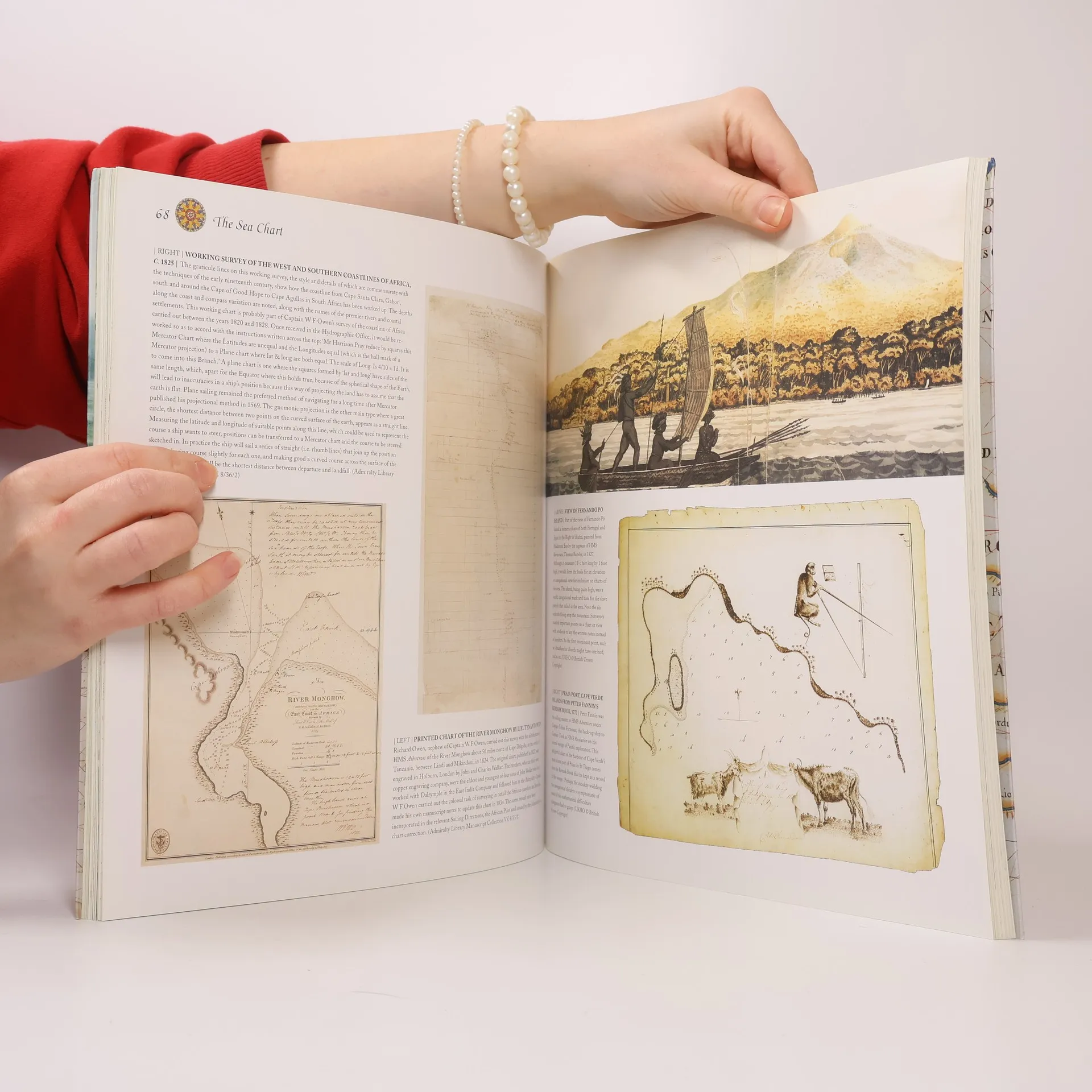
This volume looks at the history and development of the chart and the related nautical map, in both scientific and aesthetic terms, as a means of safe and accurate seaborne navigation. Key figures or milestones in the history of charting are presented in stand-alone story box features.
Book purchase
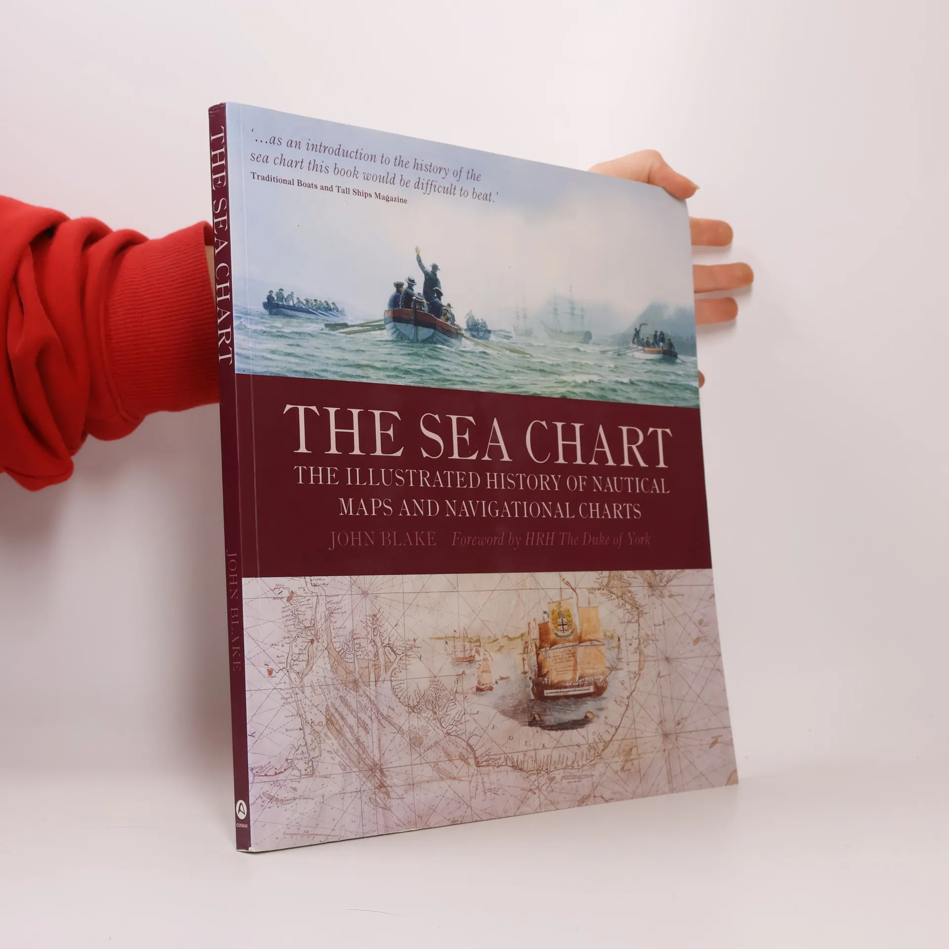
The Sea Chart, John Blake, HRH The Duke of York
- Language

- Released
- 2009
- product-detail.submit-box.info.binding
- (Paperback)
We’ll email you as soon as we track it down.
Payment methods
We’re missing your review here.
- Title
- The Sea Chart
- Subtitle
- The Illustrated History of Nautical Maps and Navigational Charts
- Language
- English
- Authors
- John Blake, HRH The Duke of York
- Publisher
- Conway Maritime Press
- Released
- 2009
- Format
- Paperback
- Pages
- 160
- ISBN10
- 1844860639
- ISBN13
- 9781844860630
- Series
- Tags
- Non-Fiction, Historical Themes, Maps & Travel, Technology & Engineering, Geography & Topography, References & Manuals, Science, Cars & Transportation, Ships, Seafaring, Cartography, Historical Geography, Navigation
- Rating
- 4.65 out of 5
- Description
- This volume looks at the history and development of the chart and the related nautical map, in both scientific and aesthetic terms, as a means of safe and accurate seaborne navigation. Key figures or milestones in the history of charting are presented in stand-alone story box features.