
You'll get the exact copy in the photo
Parameters
- 147 pages
- 6 hours of reading
More about the book
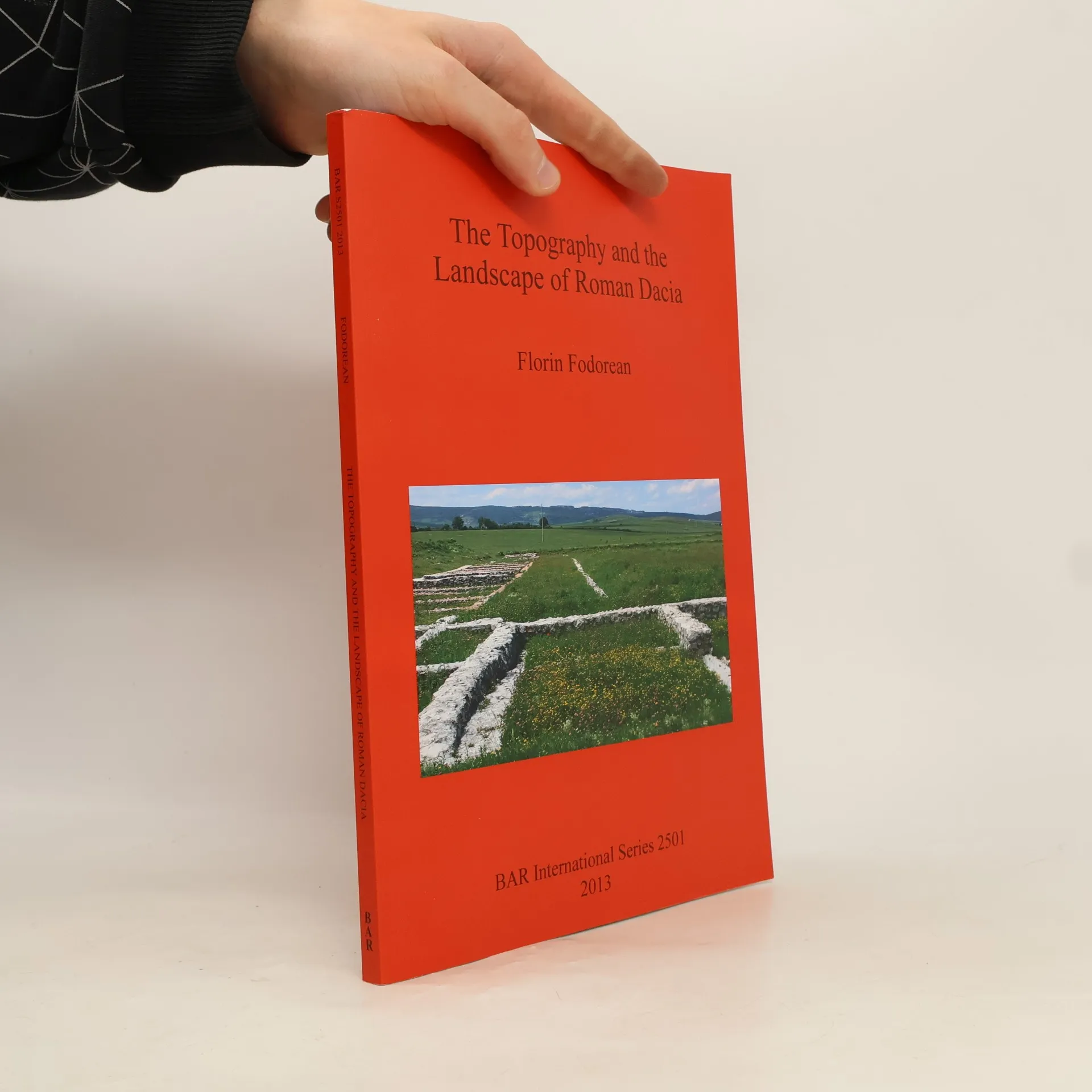
The study delves into the topography and landscape of Roman Dacia, exploring its road network and geographical perceptions before and after the Roman conquest. It analyzes ancient sources, including the 'Tabula Peutingeriana' and archaeological remains, to reconstruct the main roads. The author also investigates rural settlements like Potaissa and Napoca, along with Roman bridges. By integrating historical cartography and modern digital data, the work offers a comprehensive recreation of the landscape of Roman Dacia, highlighting its historical significance.
Book purchase
The Topography and the Landscape of Roman Dacia, Florin-Gheorghe Fodorean
- Language

- Released
- 2013
- product-detail.submit-box.info.binding
- (Paperback),
- Book condition
- Very Good
- Price
- €13.49
Payment methods
No one has rated yet.
- Title
- The Topography and the Landscape of Roman Dacia
- Language
- English
- Authors
- Florin-Gheorghe Fodorean
- Released
- 2013
- Format
- Paperback
- Pages
- 147
- ISBN10
- 1407311174
- ISBN13
- 9781407311173
- Series
- Tags
- Non-Fiction, Social Sciences, Historical Themes, World History, Archaeology, Ancient Rome, Holy Roman Empire, Landscape Archaeology
- Description
- The study delves into the topography and landscape of Roman Dacia, exploring its road network and geographical perceptions before and after the Roman conquest. It analyzes ancient sources, including the 'Tabula Peutingeriana' and archaeological remains, to reconstruct the main roads. The author also investigates rural settlements like Potaissa and Napoca, along with Roman bridges. By integrating historical cartography and modern digital data, the work offers a comprehensive recreation of the landscape of Roman Dacia, highlighting its historical significance.