
You'll get the exact copy in the photo

Parameters
More about the book
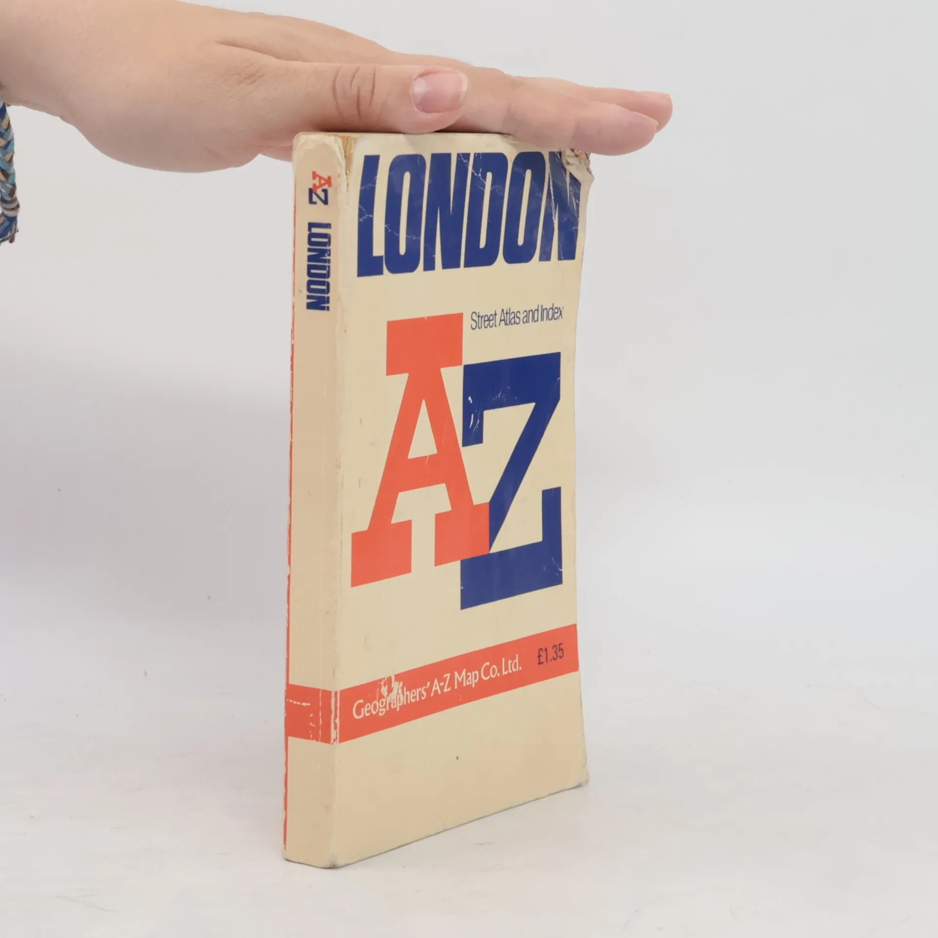
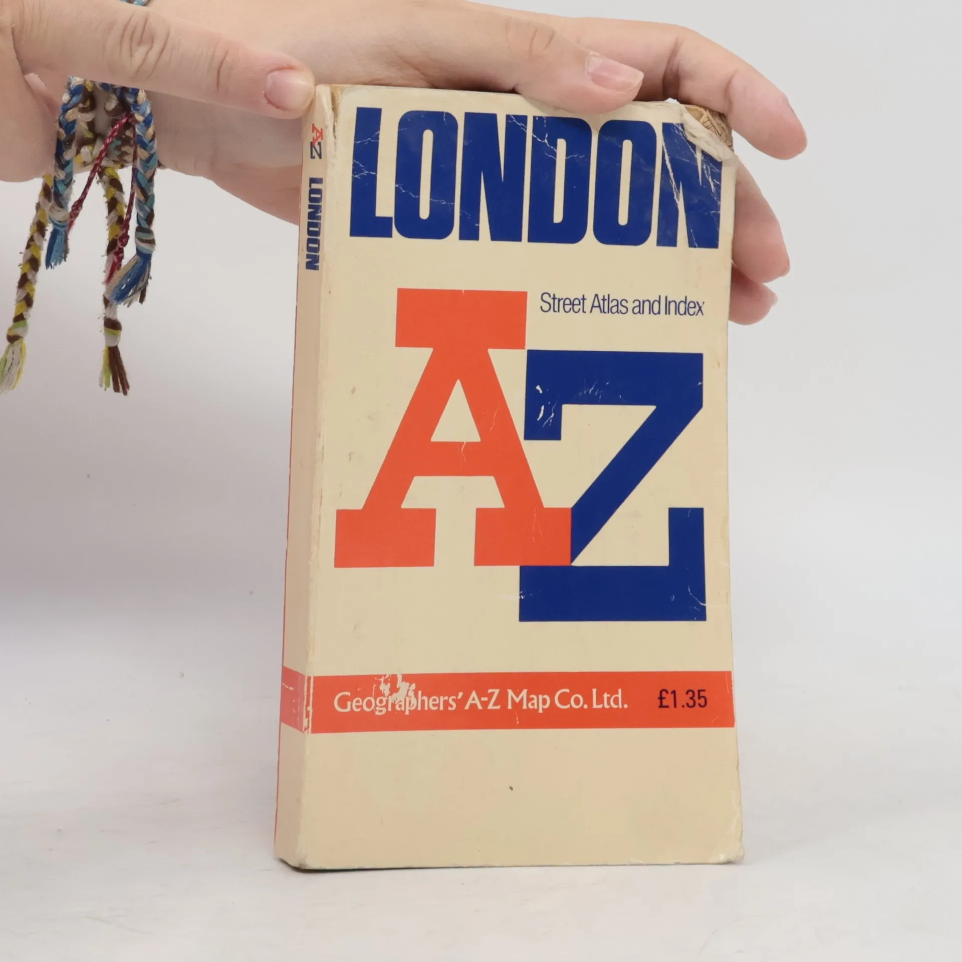
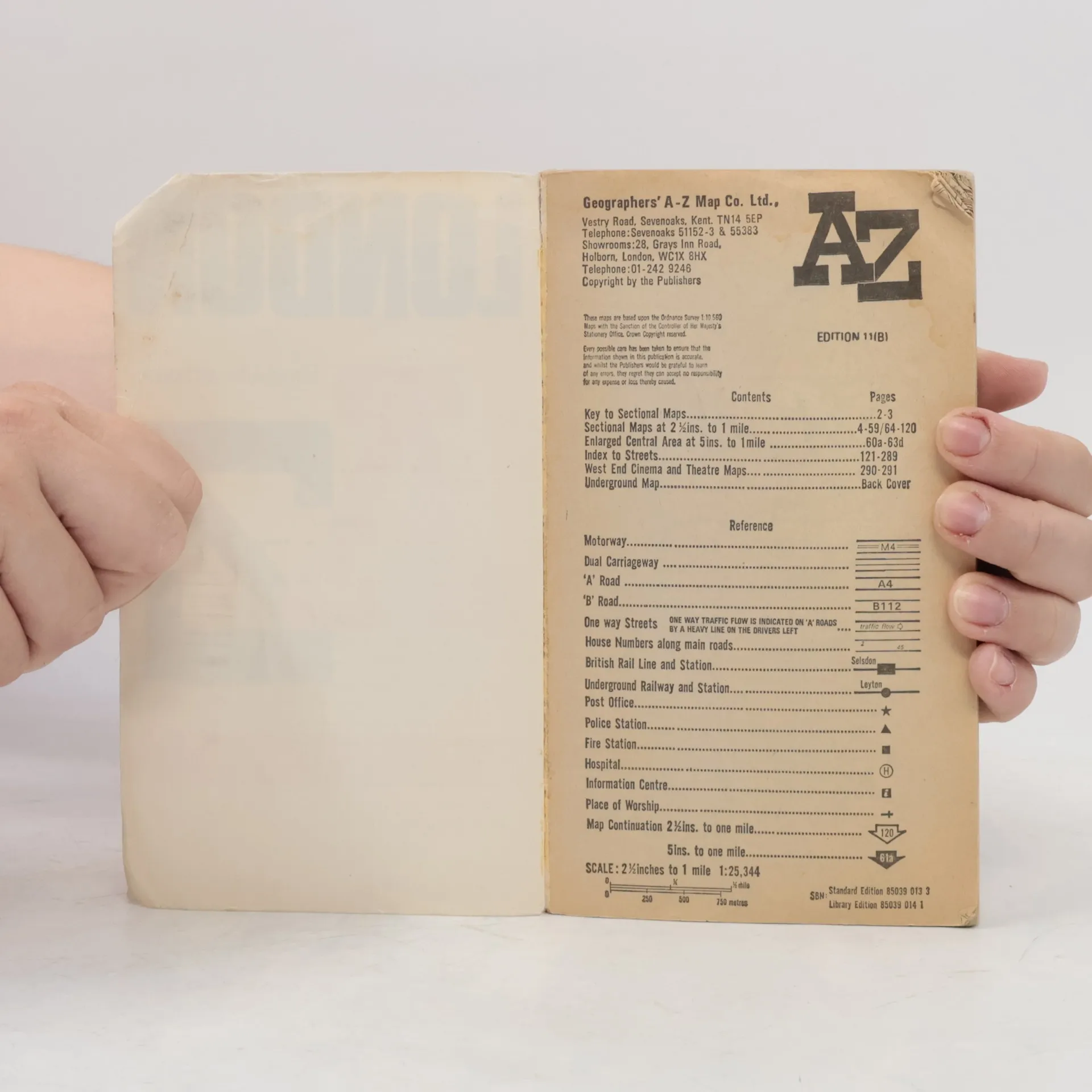
Contains street maps at scale 3" to 1 mile, 11 pages of 4.5" to 1 mile maps covering the congested central area, an Underground map and West End cinema and theatre maps. Coverage extends to Stanmore, Barnet, Enfield, Woodford, Dagenham, Woolwich, Bromley, Croydon, Surbiton, Southall and Harrow.


Book purchase
AZ London Street Atlas, Various authors
- Language

- Released
- 1990
- product-detail.submit-box.info.binding
- (Paperback),
- Book condition
- Damaged
- Price
- €1.53
Payment methods
We’re missing your review here.
- Subtitle
- Street Atlas Index
- Language
- English
- Authors
- Various authors
- Publisher
- Geographers' A-Z Map Company
- Released
- 1990
- Format
- Paperback
- ISBN10
- 0850390133
- ISBN13
- 9780850390131
- Series
- Tags
- Non-Fiction, Maps & Travel, Travel
- Rating
- 4.45 out of 5
- Description
- Contains street maps at scale 3" to 1 mile, 11 pages of 4.5" to 1 mile maps covering the congested central area, an Underground map and West End cinema and theatre maps. Coverage extends to Stanmore, Barnet, Enfield, Woodford, Dagenham, Woolwich, Bromley, Croydon, Surbiton, Southall and Harrow.