
You'll get the exact copy in the photo


Parameters
- 208 pages
- 8 hours of reading
More about the book
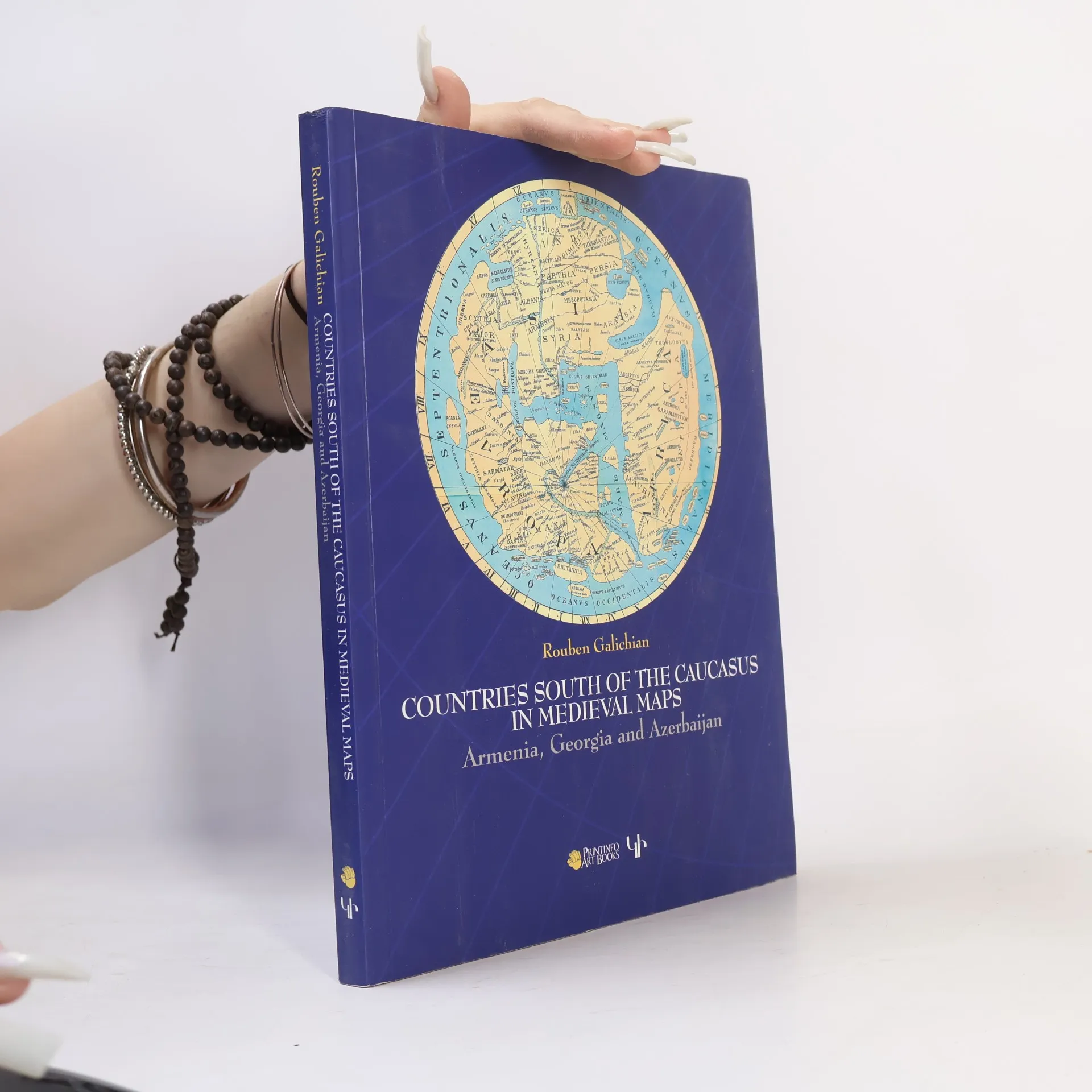
This work presents the medieval historical cartography of the south Caucasus. Volume contains 82 mediaeval maps with 24 details from Latin, Byzantine, Islamic, Syriac and Armenian traditions. 98 of these illustrations are in full colour. Co-published by Gomidas Institute (London) and PrintInfo (Yerevan).
Book purchase
Countries of the Caucasus in Medieval Maps, Rouben Galichian
- Language

- Released
- 2007
- product-detail.submit-box.info.binding
- (Paperback),
- Book condition
- Good
- Price
- €57.99
Payment methods
No one has rated yet.
- Title
- Countries of the Caucasus in Medieval Maps
- Subtitle
- Armenia, Georgia and Azerbaijan
- Language
- English
- Authors
- Rouben Galichian
- Publisher
- Gomidas Institute
- Released
- 2007
- Format
- Paperback
- Pages
- 208
- ISBN10
- 1903656699
- ISBN13
- 9781903656693
- Series
- Tags
- Non-Fiction, Social Sciences, Historical Themes, Maps & Travel, Technology, Sociology, Eastern Europe, Cartography, Historical Geography, Georgia, Armenia
- Description
- This work presents the medieval historical cartography of the south Caucasus. Volume contains 82 mediaeval maps with 24 details from Latin, Byzantine, Islamic, Syriac and Armenian traditions. 98 of these illustrations are in full colour. Co-published by Gomidas Institute (London) and PrintInfo (Yerevan).